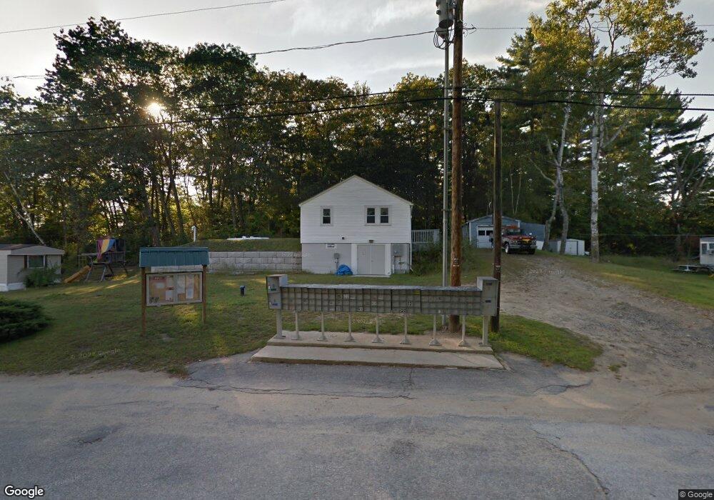
7 Hillside Dr Allenstown, NH 03275
Estimated Value: $2,357,000
--
Bed
1
Bath
--
Sq Ft
37.1
Acres
About This Home
This home is located at 7 Hillside Dr, Allenstown, NH 03275 and is currently priced at $2,357,000. 7 Hillside Dr is a home located in Merrimack County with nearby schools including Allenstown Elementary School and Armand R. Dupont School.
Ownership History
Date
Name
Owned For
Owner Type
Purchase Details
Closed on
Feb 18, 2015
Sold by
Olde Towne Ho Coop Inc
Bought by
Pitbull Realty Group I
Current Estimated Value
Purchase Details
Closed on
Feb 21, 2007
Sold by
Dibattiste Stephen
Bought by
Olde Towne Homeowners
Home Financials for this Owner
Home Financials are based on the most recent Mortgage that was taken out on this home.
Original Mortgage
$2,182,500
Interest Rate
6.23%
Mortgage Type
Commercial
Create a Home Valuation Report for This Property
The Home Valuation Report is an in-depth analysis detailing your home's value as well as a comparison with similar homes in the area
Home Values in the Area
Average Home Value in this Area
Purchase History
| Date | Buyer | Sale Price | Title Company |
|---|---|---|---|
| Pitbull Realty Group I | $75,000 | -- | |
| Olde Towne Homeowners | $2,425,000 | -- |
Source: Public Records
Mortgage History
| Date | Status | Borrower | Loan Amount |
|---|---|---|---|
| Previous Owner | Olde Towne Homeowners | $2,182,500 |
Source: Public Records
Tax History Compared to Growth
Tax History
| Year | Tax Paid | Tax Assessment Tax Assessment Total Assessment is a certain percentage of the fair market value that is determined by local assessors to be the total taxable value of land and additions on the property. | Land | Improvement |
|---|---|---|---|---|
| 2024 | $105,465 | $4,148,900 | $553,400 | $3,595,500 |
| 2023 | $87,957 | $4,148,900 | $553,400 | $3,595,500 |
| 2022 | $80,904 | $4,148,900 | $553,400 | $3,595,500 |
| 2021 | $85,573 | $2,716,600 | $319,600 | $2,397,000 |
| 2020 | $79,596 | $2,716,600 | $319,600 | $2,397,000 |
| 2019 | $84,486 | $2,716,600 | $319,600 | $2,397,000 |
| 2018 | $81,905 | $2,716,600 | $319,600 | $2,397,000 |
| 2017 | $87,230 | $2,716,600 | $319,600 | $2,397,000 |
| 2016 | $91,178 | $2,692,800 | $295,800 | $2,397,000 |
| 2015 | $88,405 | $2,692,800 | $295,800 | $2,397,000 |
| 2014 | $90,963 | $2,692,800 | $295,800 | $2,397,000 |
| 2013 | $90,863 | $2,881,793 | $295,800 | $2,585,993 |
Source: Public Records
Map
Nearby Homes
- 43 Catamount Hill Dr
- 8 Bush Ave
- 6 Jackson Ave
- 11 Presidential Dr
- 1 Jefferson Ave
- 370 River Rd
- 5 Catamount Hill Dr
- 9 Pine Acres Rd
- 14 Queens Ln
- 9 Princess Ln
- 6 Adams St
- 0 Poor Town Rd Unit 4
- 243 Middle Rd
- 101 4th Range Rd Unit 4
- 307 Dearborn Rd
- 15 Sullivan Dr
- 19 Silver Hill Dr
- 10 Lane Dr
- 2 Cheryl Dr
- 425 Grady Ln Unit 28