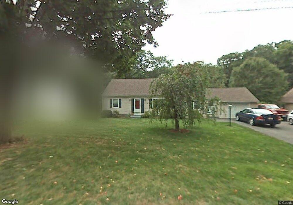
7 Leemond St Wilbraham, MA 01095
Estimated Value: $399,059 - $517,000
4
Beds
2
Baths
1,456
Sq Ft
$301/Sq Ft
Est. Value
About This Home
This home is located at 7 Leemond St, Wilbraham, MA 01095 and is currently estimated at $438,515, approximately $301 per square foot. 7 Leemond St is a home located in Hampden County with nearby schools including Minnechaug Regional High School, Springfield International Charter School, and Wilbraham & Monson Academy.
Ownership History
Date
Name
Owned For
Owner Type
Purchase Details
Closed on
Jun 20, 1997
Sold by
Satter Edwin C and Satter Arianne M
Bought by
Lawson David J and Lawson Mary B
Current Estimated Value
Home Financials for this Owner
Home Financials are based on the most recent Mortgage that was taken out on this home.
Original Mortgage
$108,000
Interest Rate
7.87%
Mortgage Type
Purchase Money Mortgage
Purchase Details
Closed on
Oct 13, 1994
Sold by
Helgoe Calvin L
Bought by
Satter Edwin C and Satter Arianne M
Create a Home Valuation Report for This Property
The Home Valuation Report is an in-depth analysis detailing your home's value as well as a comparison with similar homes in the area
Home Values in the Area
Average Home Value in this Area
Purchase History
| Date | Buyer | Sale Price | Title Company |
|---|---|---|---|
| Lawson David J | $139,000 | -- | |
| Satter Edwin C | $96,000 | -- |
Source: Public Records
Mortgage History
| Date | Status | Borrower | Loan Amount |
|---|---|---|---|
| Open | Satter Edwin C | $100,000 | |
| Closed | Satter Edwin C | $108,000 | |
| Previous Owner | Satter Edwin C | $100,000 |
Source: Public Records
Tax History Compared to Growth
Tax History
| Year | Tax Paid | Tax Assessment Tax Assessment Total Assessment is a certain percentage of the fair market value that is determined by local assessors to be the total taxable value of land and additions on the property. | Land | Improvement |
|---|---|---|---|---|
| 2025 | $6,120 | $342,300 | $96,600 | $245,700 |
| 2024 | $5,572 | $301,200 | $96,600 | $204,600 |
| 2023 | $5,534 | $286,400 | $96,600 | $189,800 |
| 2022 | $5,534 | $270,100 | $96,600 | $173,500 |
| 2021 | $5,256 | $228,900 | $103,700 | $125,200 |
| 2020 | $5,123 | $228,900 | $103,700 | $125,200 |
| 2019 | $4,994 | $229,100 | $103,700 | $125,400 |
| 2018 | $4,865 | $214,900 | $103,700 | $111,200 |
| 2017 | $4,728 | $214,900 | $103,700 | $111,200 |
| 2016 | $4,717 | $218,400 | $115,300 | $103,100 |
| 2015 | $4,560 | $218,400 | $115,300 | $103,100 |
Source: Public Records
Map
Nearby Homes
- 28 Decorie Dr
- 79 High Pine Cir
- 69 High Pine Cir
- 2 Bayberry Dr Unit 51
- 54 High Pine Cir
- 8 Patriot Ridge Ln
- 35 Lake Dr
- 20 Old Orchard Rd
- 46 Washington Rd
- 4 Hillcrest Dr
- 2 Vista Rd
- 6 Teak Terrace Unit 24
- 474 Mountain Rd
- 99 Sandalwood Dr Unit site 00
- 103 Sandalwood Dr Unit site 00
- 57 Sandalwood Dr Unit site 61
- 111 Sandalwood Dr Unit site 00
- 474-480 Mountain Rd
- 10 Forest Glade Dr
- 19 Linwood Dr