7 Lighthouse Ln Moultonborough, NH 03254
Estimated Value: $671,000 - $1,636,000
4
Beds
3
Baths
2,867
Sq Ft
$347/Sq Ft
Est. Value
About This Home
This home is located at 7 Lighthouse Ln, Moultonborough, NH 03254 and is currently estimated at $994,205, approximately $346 per square foot. 7 Lighthouse Ln is a home located in Carroll County with nearby schools including Moultonborough Central School and Moultonborough Academy High School.
Ownership History
Date
Name
Owned For
Owner Type
Purchase Details
Closed on
May 16, 2019
Sold by
Seven Lighthouse Lane Nt and Ward
Bought by
Seven Lighthouse Lane Nt and Ward
Current Estimated Value
Purchase Details
Closed on
Oct 27, 2014
Sold by
Ward Thomas F and 7 Lighthouse Lane Nt
Bought by
7 Lighthouse Lane Nt and Ward
Create a Home Valuation Report for This Property
The Home Valuation Report is an in-depth analysis detailing your home's value as well as a comparison with similar homes in the area
Home Values in the Area
Average Home Value in this Area
Purchase History
| Date | Buyer | Sale Price | Title Company |
|---|---|---|---|
| Seven Lighthouse Lane Nt | -- | -- | |
| 7 Lighthouse Lane Nt | -- | -- |
Source: Public Records
Tax History Compared to Growth
Tax History
| Year | Tax Paid | Tax Assessment Tax Assessment Total Assessment is a certain percentage of the fair market value that is determined by local assessors to be the total taxable value of land and additions on the property. | Land | Improvement |
|---|---|---|---|---|
| 2024 | $3,479 | $615,700 | $253,200 | $362,500 |
| 2023 | $2,800 | $491,300 | $193,800 | $297,500 |
| 2022 | $2,114 | $442,300 | $174,500 | $267,800 |
| 2021 | $2,600 | $372,500 | $142,700 | $229,800 |
| 2020 | $2,281 | $319,900 | $130,800 | $189,100 |
| 2019 | $2,191 | $306,400 | $130,700 | $175,700 |
| 2018 | $2,256 | $292,200 | $121,000 | $171,200 |
| 2017 | $2,231 | $271,400 | $118,300 | $153,100 |
| 2016 | $2,082 | $238,200 | $118,300 | $119,900 |
| 2015 | $2,083 | $231,200 | $118,300 | $112,900 |
| 2014 | $1,974 | $222,800 | $118,300 | $104,500 |
| 2013 | $1,936 | $222,800 | $118,300 | $104,500 |
Source: Public Records
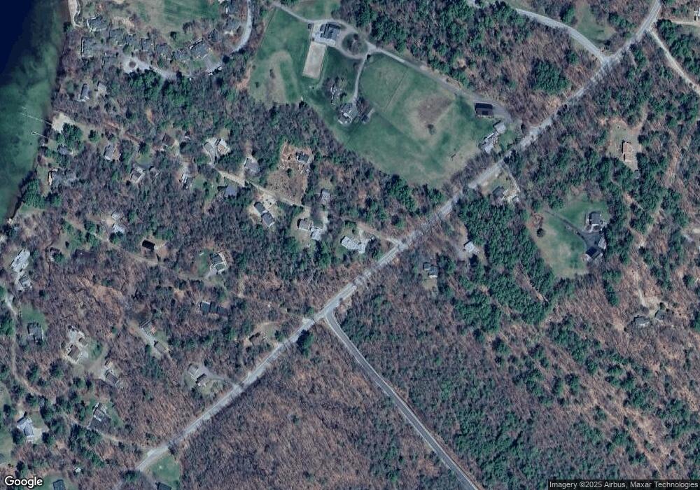
Map
Nearby Homes
- 29 Kona Farm Rd
- 203 Krainewood Dr
- 5 Ferry Rd
- 30 Leopards Leap
- 22 Tiger Trail
- 31 Rays Way
- 33 Blackadar Ln
- 21 Orton Ln
- 122 Toltec Point Rd
- 320 Redding Ln
- 11 Geery Ln
- 244 Wentworth Shores Rd
- 1 Little Beaver Island
- 4 Schneider Rd
- 2 Little Badger Island
- 27 First Point Rd
- 41 Saint Gallen St
- 00 Grande St Unit 44
- 16 Myrtle Dr
- 28 Moose Walk
- 14 Lighthouse Ln
- 95 Kona Farm Rd
- 21 Lighthouse Ln
- 91 Kona Farm Rd
- 30 Lighthouse Ln
- 25 Lighthouse Ln
- LOT D Lighthouse Ln
- 124 Kona Farm Rd
- 22 Bay Rd
- 54 Hare Farm Rd
- 20 Lighthouse Ln
- 17 Bay Rd
- 77 Kona Farm Rd
- 34 Lighthouse Ln
- 11 Hare Farm Rd
- 35 Lighthouse Ln
- 130 Kona Farm Rd
- 28 Bay Rd
- 20 Goodhue Ln
- 38 Lighthouse Ln