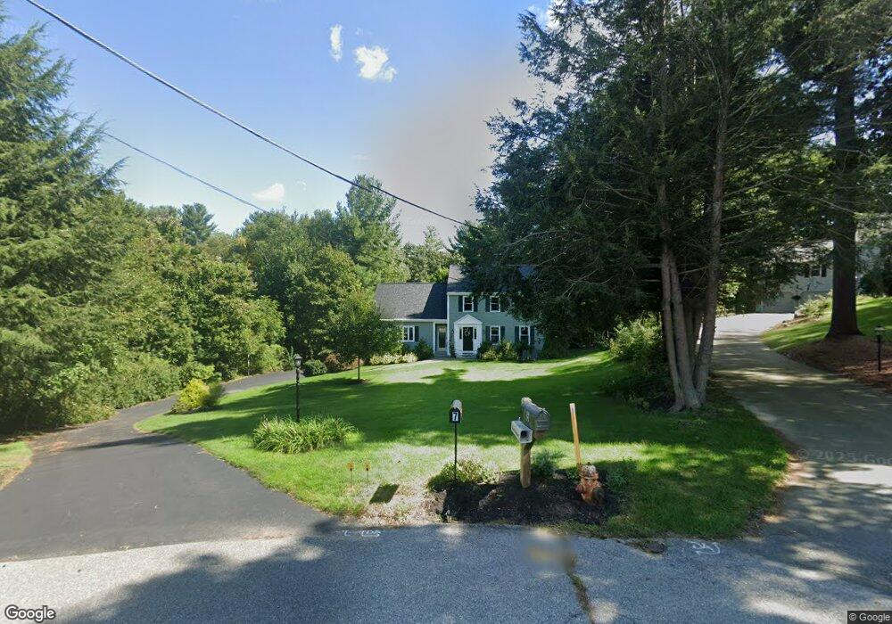
7 Midland Cir Andover, MA 01810
West Andover NeighborhoodEstimated Value: $1,122,000 - $1,465,000
4
Beds
3
Baths
2,706
Sq Ft
$460/Sq Ft
Est. Value
About This Home
This home is located at 7 Midland Cir, Andover, MA 01810 and is currently estimated at $1,243,634, approximately $459 per square foot. 7 Midland Cir is a home located in Essex County with nearby schools including West Elementary School, Andover West Middle School, and Andover High School.
Ownership History
Date
Name
Owned For
Owner Type
Purchase Details
Closed on
Mar 25, 2013
Sold by
Hespeler Eileen P
Bought by
Powers Eileen M and Stefanik Peter W
Current Estimated Value
Home Financials for this Owner
Home Financials are based on the most recent Mortgage that was taken out on this home.
Original Mortgage
$357,000
Outstanding Balance
$252,268
Interest Rate
3.57%
Mortgage Type
New Conventional
Estimated Equity
$991,367
Purchase Details
Closed on
Jan 30, 2004
Sold by
Hespeler Eileen Powers and Hespeler Kurt G
Bought by
Hespeler Eileen Powers
Purchase Details
Closed on
Dec 16, 1999
Sold by
Powers Edward W and Powers Geraldine D
Bought by
Hespeler Kurt G and Powers-Hespeler Eileen
Create a Home Valuation Report for This Property
The Home Valuation Report is an in-depth analysis detailing your home's value as well as a comparison with similar homes in the area
Home Values in the Area
Average Home Value in this Area
Purchase History
| Date | Buyer | Sale Price | Title Company |
|---|---|---|---|
| Powers Eileen M | -- | -- | |
| Hespeler Eileen Powers | -- | -- | |
| Hespeler Kurt G | $300,000 | -- |
Source: Public Records
Mortgage History
| Date | Status | Borrower | Loan Amount |
|---|---|---|---|
| Open | Hespeler Kurt G | $357,000 | |
| Previous Owner | Hespeler Kurt G | $357,000 |
Source: Public Records
Tax History
| Year | Tax Paid | Tax Assessment Tax Assessment Total Assessment is a certain percentage of the fair market value that is determined by local assessors to be the total taxable value of land and additions on the property. | Land | Improvement |
|---|---|---|---|---|
| 2024 | $11,647 | $904,300 | $473,600 | $430,700 |
| 2023 | $11,132 | $814,900 | $426,600 | $388,300 |
| 2022 | $10,458 | $716,300 | $371,300 | $345,000 |
| 2021 | $9,995 | $653,700 | $337,200 | $316,500 |
| 2020 | $9,588 | $638,800 | $329,200 | $309,600 |
| 2019 | $9,202 | $602,600 | $300,800 | $301,800 |
| 2018 | $8,891 | $568,500 | $289,200 | $279,300 |
| 2017 | $8,542 | $562,700 | $283,600 | $279,100 |
| 2016 | $8,372 | $564,900 | $283,600 | $281,300 |
| 2015 | $8,075 | $539,400 | $272,800 | $266,600 |
Source: Public Records
Map
Nearby Homes
- 105 Central St
- 241 Lowell St Unit 3
- 3 Torr St
- 22 Railroad St Unit 407
- 37 Crenshaw Ln Unit 37
- 4 Hazelwood Cir
- 5 Lewis St
- Lot 7 Weeping Willow Dr
- 96 N Main St Unit 3
- 100.5 Main St Unit Q
- 33 Chestnut St Unit 2
- 31 Porter Rd
- 2 Powder Mill Square Unit 2B
- 20-22 Florence St
- 4 Hammond Way
- 67 High St
- 25 Clubview Dr Unit 25
- 50C Washington Park Dr Unit 10
- 53 Salem St
- 15 Geneva Rd