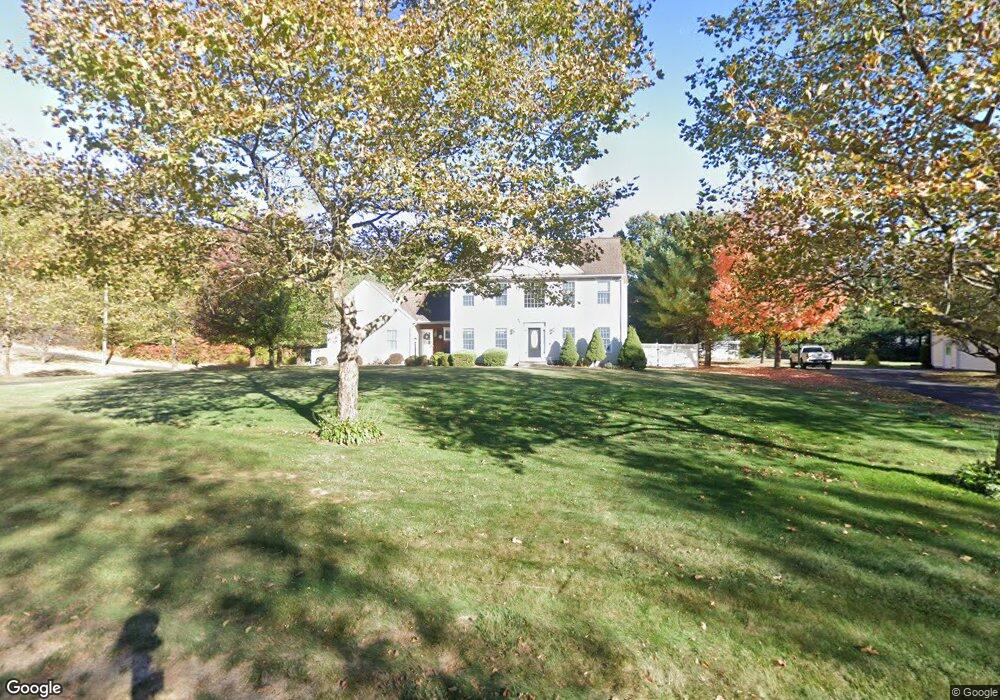
7 Mountain Pond Rd Southington, CT 06489
West Southington NeighborhoodEstimated Value: $693,865 - $774,000
4
Beds
3
Baths
2,608
Sq Ft
$283/Sq Ft
Est. Value
About This Home
This home is located at 7 Mountain Pond Rd, Southington, CT 06489 and is currently estimated at $739,216, approximately $283 per square foot. 7 Mountain Pond Rd is a home located in Hartford County with nearby schools including Reuben E. Thalberg Elementary School, Joseph A. Depaolo Middle School, and Southington High School.
Ownership History
Date
Name
Owned For
Owner Type
Purchase Details
Closed on
Jun 12, 2003
Sold by
D & J Corp
Bought by
Swol Robert J and Swol Diane F
Current Estimated Value
Home Financials for this Owner
Home Financials are based on the most recent Mortgage that was taken out on this home.
Original Mortgage
$237,000
Interest Rate
5.77%
Create a Home Valuation Report for This Property
The Home Valuation Report is an in-depth analysis detailing your home's value as well as a comparison with similar homes in the area
Home Values in the Area
Average Home Value in this Area
Purchase History
| Date | Buyer | Sale Price | Title Company |
|---|---|---|---|
| Swol Robert J | $363,900 | -- |
Source: Public Records
Mortgage History
| Date | Status | Borrower | Loan Amount |
|---|---|---|---|
| Open | Swol Robert J | $186,000 | |
| Closed | Swol Robert J | $186,000 | |
| Closed | Swol Robert J | $237,000 |
Source: Public Records
Tax History
| Year | Tax Paid | Tax Assessment Tax Assessment Total Assessment is a certain percentage of the fair market value that is determined by local assessors to be the total taxable value of land and additions on the property. | Land | Improvement |
|---|---|---|---|---|
| 2025 | $9,869 | $297,180 | $97,200 | $199,980 |
| 2024 | $9,343 | $297,180 | $97,200 | $199,980 |
| 2023 | $9,022 | $297,180 | $97,200 | $199,980 |
| 2022 | $8,657 | $297,180 | $97,200 | $199,980 |
| 2021 | $8,627 | $297,180 | $97,200 | $199,980 |
| 2020 | $8,282 | $270,400 | $82,810 | $187,590 |
| 2019 | $8,285 | $270,400 | $82,810 | $187,590 |
| 2018 | $8,242 | $270,400 | $82,810 | $187,590 |
| 2017 | $8,242 | $270,400 | $82,810 | $187,590 |
| 2016 | $8,015 | $270,400 | $82,810 | $187,590 |
| 2015 | $7,940 | $272,490 | $78,860 | $193,630 |
| 2014 | $7,728 | $272,490 | $78,860 | $193,630 |
Source: Public Records
Map
Nearby Homes
- 477 Churchill St
- 0 Winchester Estates Lot 17
- 62 Bagno Dr
- 1384 West St
- 484 Jude Ln
- 154 Cascade Ridge
- 17 Hunters Ridge
- 1275 Mount Vernon Rd
- 1985 West St Unit 11
- 554 Spring St
- 482 Lake Ave Unit 6
- 53 Alder Ln
- 457 Curtiss St
- 62 Seery Rd
- 201 Tunxis Rd
- 4 Maple Rd
- 519 Village St
- 943 Mount Vernon Rd
- 592 Village St
- 59 Maurice St
- 23 Mountain Pond Rd
- 2102 Mount Vernon Rd
- 2092 Mount Vernon Rd
- 2127 Mount Vernon Rd
- 37 Mountain Pond Rd
- 8 Mountain Pond Rd
- 2122 Mount Vernon Rd
- 24 Mountain Pond Rd
- 10 Boulder Ridge
- 2138 Mount Vernon Rd
- 2166 Mount Vernon Rd
- 38 Mountain Pond Rd
- 53 Mountain Pond Rd
- 2144 Mount Vernon Rd
- 2153 Mount Vernon Rd
- 11 Boulder Ridge
- 2039 Mount Vernon Rd
- 2152 Mount Vernon Rd
- 28 Boulder Ridge
- 2042 Mount Vernon Rd
Your Personal Tour Guide
Ask me questions while you tour the home.