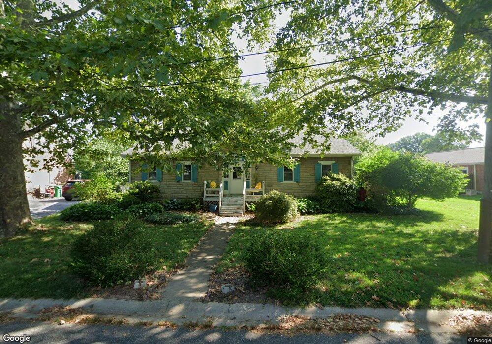
7 Orchard Ln Wilmington, DE 19809
Estimated Value: $296,000 - $382,000
2
Beds
1
Bath
1,840
Sq Ft
$179/Sq Ft
Est. Value
About This Home
This home is located at 7 Orchard Ln, Wilmington, DE 19809 and is currently estimated at $329,412, approximately $179 per square foot. 7 Orchard Ln is a home located in New Castle County with nearby schools including Maple Lane Elementary School, Pierre S. Dupont Middle School, and Mount Pleasant High School.
Ownership History
Date
Name
Owned For
Owner Type
Purchase Details
Closed on
May 12, 2005
Sold by
Outten Charlotte Mae
Bought by
Baptist Sarah and Juers Jacqueline
Current Estimated Value
Home Financials for this Owner
Home Financials are based on the most recent Mortgage that was taken out on this home.
Original Mortgage
$148,000
Outstanding Balance
$78,207
Interest Rate
6.05%
Mortgage Type
Fannie Mae Freddie Mac
Estimated Equity
$251,205
Create a Home Valuation Report for This Property
The Home Valuation Report is an in-depth analysis detailing your home's value as well as a comparison with similar homes in the area
Home Values in the Area
Average Home Value in this Area
Purchase History
| Date | Buyer | Sale Price | Title Company |
|---|---|---|---|
| Baptist Sarah | $185,000 | -- |
Source: Public Records
Mortgage History
| Date | Status | Borrower | Loan Amount |
|---|---|---|---|
| Open | Baptist Sarah | $148,000 |
Source: Public Records
Tax History Compared to Growth
Tax History
| Year | Tax Paid | Tax Assessment Tax Assessment Total Assessment is a certain percentage of the fair market value that is determined by local assessors to be the total taxable value of land and additions on the property. | Land | Improvement |
|---|---|---|---|---|
| 2024 | $2,210 | $56,600 | $12,300 | $44,300 |
| 2023 | $2,024 | $56,600 | $12,300 | $44,300 |
| 2022 | $2,048 | $56,600 | $12,300 | $44,300 |
| 2021 | $2,047 | $56,600 | $12,300 | $44,300 |
| 2020 | $2,046 | $56,600 | $12,300 | $44,300 |
| 2019 | $2,311 | $56,600 | $12,300 | $44,300 |
| 2018 | $1,958 | $56,600 | $12,300 | $44,300 |
| 2017 | $1,929 | $56,600 | $12,300 | $44,300 |
| 2016 | $1,924 | $56,600 | $12,300 | $44,300 |
| 2015 | $1,773 | $56,600 | $12,300 | $44,300 |
| 2014 | $1,773 | $56,600 | $12,300 | $44,300 |
Source: Public Records
Map
Nearby Homes
- 1810 Garfield Ave
- 1904 Garfield Ave
- 707 Parkside Blvd
- 1400 Carson Rd
- 2603 Lincoln Ave
- 814 Naudain Ave
- 512 Eskridge Dr
- 0 Bell Hill Rd
- 1507 Spring Ln
- 1425 Bucknell Rd
- 1607 Silverside Rd
- 2810 Green St
- 409 Rowland Park Blvd
- 302 Baynard Blvd
- 1224 Grinnell Rd
- 731 Governor House Cir Unit 74
- 1900 Beechwood Dr
- 523 Governor House Cir Unit 50
- 1213 Talley Rd
- 48 4th Ave