Estimated Value: $417,000 - $501,000
3
Beds
2
Baths
1,932
Sq Ft
$243/Sq Ft
Est. Value
About This Home
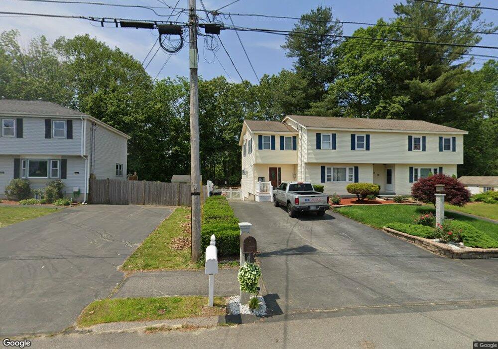
This home is located at 7 Pelican Cir Unit L, Derry, NH 03038 and is currently estimated at $470,036, approximately $243 per square foot. 7 Pelican Cir Unit L is a home located in Rockingham County with nearby schools including South Range Elementary School, West Running Brook Middle School, and Pinkerton Academy.
Ownership History
Date
Name
Owned For
Owner Type
Purchase Details
Closed on
Jul 31, 2017
Sold by
Davis Winifred P
Bought by
Davis Therese M
Current Estimated Value
Purchase Details
Closed on
Sep 25, 1997
Sold by
Abbott William F and Abbott Theresa M
Bought by
Davis Winifred P
Home Financials for this Owner
Home Financials are based on the most recent Mortgage that was taken out on this home.
Original Mortgage
$52,000
Interest Rate
7.47%
Create a Home Valuation Report for This Property
The Home Valuation Report is an in-depth analysis detailing your home's value as well as a comparison with similar homes in the area
Home Values in the Area
Average Home Value in this Area
Purchase History
| Date | Buyer | Sale Price | Title Company |
|---|---|---|---|
| Davis Therese M | -- | -- | |
| Davis Winifred P | $65,000 | -- |
Source: Public Records
Mortgage History
| Date | Status | Borrower | Loan Amount |
|---|---|---|---|
| Previous Owner | Davis Winifred P | $52,000 |
Source: Public Records
Tax History Compared to Growth
Tax History
| Year | Tax Paid | Tax Assessment Tax Assessment Total Assessment is a certain percentage of the fair market value that is determined by local assessors to be the total taxable value of land and additions on the property. | Land | Improvement |
|---|---|---|---|---|
| 2024 | $7,783 | $416,400 | $0 | $416,400 |
| 2023 | $7,875 | $380,800 | $0 | $380,800 |
| 2022 | $7,250 | $380,800 | $0 | $380,800 |
| 2021 | $6,759 | $273,000 | $0 | $273,000 |
| 2020 | $6,645 | $273,000 | $0 | $273,000 |
| 2019 | $5,496 | $210,400 | $89,100 | $121,300 |
| 2018 | $5,878 | $208,700 | $89,100 | $119,600 |
| 2017 | $5,868 | $197,500 | $84,700 | $112,800 |
| 2016 | $5,344 | $197,500 | $84,700 | $112,800 |
| 2015 | $4,297 | $147,000 | $42,300 | $104,700 |
| 2014 | $4,325 | $147,000 | $42,300 | $104,700 |
| 2013 | $4,761 | $151,200 | $41,400 | $109,800 |
Source: Public Records
Map
Nearby Homes
- 30 Kendall Pond Rd Unit 77
- 30 Kendall Pond Rd Unit 87
- 65 Fordway Extension Unit 211
- 37 Highland Ave Unit 1
- 90L Derryfield Rd
- 90L Derryfield Rd Unit L
- 24 South Ave
- 29 Central St
- 31 South Ave Unit B
- 31 South Ave Unit L
- 23 Oak St
- 8 Birch St
- 18 Maple St Unit 1
- 18 Elm St
- 24 Sheffield Way
- 13 Gamache Rd
- 44 Sheffield Way Unit 6B
- 84 E Broadway
- 24 Jefferson St
- 144 Rockingham Rd
- 7 Pelican Cir Unit R
- 7 Pelican Cir Unit 7B
- 7A Pelican Cir
- 9 Pelican Cir Unit R
- 9 Pelican Cir Unit L
- 9 Pelican Cir Unit 9L
- 9 Pelican Cir
- 6 Pelican Cir Unit R
- 6 Pelican Cir Unit L
- 6 Pelican Cir
- 6a Pelican Cir
- 4 Pelican Cir
- 14 Shilah Dr
- 12 Shilah Dr
- 11 Pelican Cir
- 11 Pelican Cir Unit R
- 11 Pelican Cir Unit L
- 11 Pelican Cir Unit 11L
- 11a Pelican Cir
- 11 Pelican Cir Unit 11R