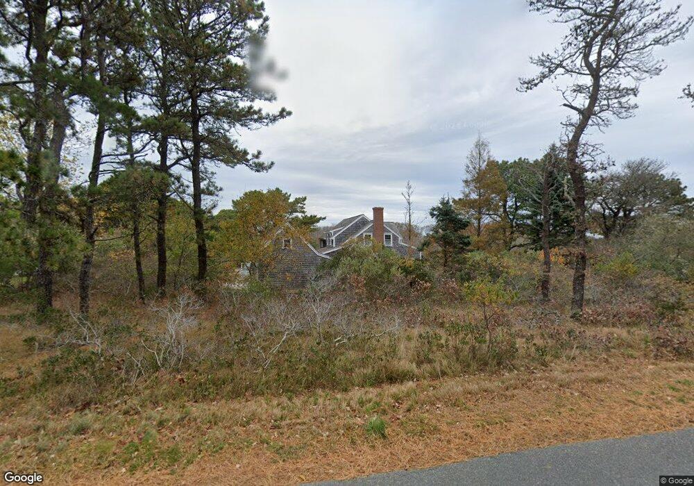
7 Poor Richards Way Nantucket, MA 02554
Estimated Value: $4,199,586 - $4,627,000
3
Beds
4
Baths
2,085
Sq Ft
$2,133/Sq Ft
Est. Value
About This Home
This home is located at 7 Poor Richards Way, Nantucket, MA 02554 and is currently estimated at $4,448,147, approximately $2,133 per square foot. 7 Poor Richards Way is a home located in Nantucket County with nearby schools including Nantucket Elementary School, Cyrus Peirce Middle School, and Nantucket High School.
Ownership History
Date
Name
Owned For
Owner Type
Purchase Details
Closed on
Mar 19, 2007
Sold by
Valentgas Ellen
Bought by
Munk Jeffrey W and Munk Tamara R
Current Estimated Value
Home Financials for this Owner
Home Financials are based on the most recent Mortgage that was taken out on this home.
Original Mortgage
$1,836,800
Interest Rate
6.4%
Mortgage Type
Purchase Money Mortgage
Purchase Details
Closed on
Jun 10, 1996
Sold by
Corkish Richard B
Bought by
Rojcewicz David A and Rojcewicz Ellen D
Create a Home Valuation Report for This Property
The Home Valuation Report is an in-depth analysis detailing your home's value as well as a comparison with similar homes in the area
Home Values in the Area
Average Home Value in this Area
Purchase History
| Date | Buyer | Sale Price | Title Company |
|---|---|---|---|
| Munk Jeffrey W | $2,296,000 | -- | |
| Munk Jeffrey W | $2,296,000 | -- | |
| Munk Jeffrey W | $2,296,000 | -- | |
| Rojcewicz David A | $155,000 | -- | |
| Rojcewicz David A | $155,000 | -- |
Source: Public Records
Mortgage History
| Date | Status | Borrower | Loan Amount |
|---|---|---|---|
| Open | Rojcewicz David A | $1,620,000 | |
| Closed | Munk Jeffrey W | $1,836,800 | |
| Previous Owner | Rojcewicz David A | $400,000 |
Source: Public Records
Tax History
| Year | Tax Paid | Tax Assessment Tax Assessment Total Assessment is a certain percentage of the fair market value that is determined by local assessors to be the total taxable value of land and additions on the property. | Land | Improvement |
|---|---|---|---|---|
| 2025 | $11,592 | $3,534,000 | $1,657,700 | $1,876,300 |
| 2024 | $10,780 | $3,444,000 | $1,593,900 | $1,850,100 |
| 2023 | $9,031 | $2,813,400 | $1,396,600 | $1,416,800 |
| 2022 | $7,942 | $2,123,600 | $1,062,700 | $1,060,900 |
| 2021 | $7,525 | $2,073,000 | $1,012,100 | $1,060,900 |
| 2020 | $7,341 | $2,127,800 | $1,012,100 | $1,115,700 |
| 2019 | $7,149 | $2,127,800 | $1,012,100 | $1,115,700 |
| 2018 | $7,128 | $2,019,400 | $1,012,100 | $1,007,300 |
| 2017 | $6,753 | $1,992,100 | $1,012,100 | $980,000 |
| 2016 | $6,532 | $1,943,900 | $1,012,100 | $931,800 |
| 2015 | $6,350 | $1,759,000 | $983,400 | $775,600 |
| 2014 | $6,557 | $1,743,800 | $968,200 | $775,600 |
Source: Public Records
Map
Nearby Homes
- 7 Poor Richard's Way
- 5 Poor Richards Way
- 20 Quidnet Rd
- 6 Poor Richards Way
- 3 Poor Richards Way
- 18 Quidnet Rd
- 4 Poor Richards Way
- 22 Quidnet Rd
- 6 Briar Patch Rd
- 4 Brier Patch Rd
- 4 Brier Patch Rd
- 1 Chase Ln
- 15 Quidnet Rd
- 1 Hornbeam Rd
- 3 Brier Patch Rd
- 5 Brier Patch Rd
- 19 Quidnet Rd
- 31 Quidnet Rd
- 13 Quidnet Rd
- 3 Chase Ln
Your Personal Tour Guide
Ask me questions while you tour the home.