7 Populatic St Franklin, MA 02038
Estimated Value: $440,000 - $532,000
2
Beds
2
Baths
1,324
Sq Ft
$356/Sq Ft
Est. Value
About This Home
This home is located at 7 Populatic St, Franklin, MA 02038 and is currently estimated at $471,491, approximately $356 per square foot. 7 Populatic St is a home located in Norfolk County with nearby schools including H. Olive Day School, Freeman-Kennedy School, and Woodside Montessori Academy.
Ownership History
Date
Name
Owned For
Owner Type
Purchase Details
Closed on
Feb 24, 2012
Sold by
Champagne Kevin and Lytle Medora S
Bought by
Norfolk Municipal Affo
Current Estimated Value
Purchase Details
Closed on
Mar 30, 2007
Sold by
Barrett David E
Bought by
Champagne Kevin M and Lytle Medora S
Home Financials for this Owner
Home Financials are based on the most recent Mortgage that was taken out on this home.
Original Mortgage
$264,000
Interest Rate
6.33%
Mortgage Type
Purchase Money Mortgage
Create a Home Valuation Report for This Property
The Home Valuation Report is an in-depth analysis detailing your home's value as well as a comparison with similar homes in the area
Home Values in the Area
Average Home Value in this Area
Purchase History
| Date | Buyer | Sale Price | Title Company |
|---|---|---|---|
| Norfolk Municipal Affo | $225,000 | -- | |
| Champagne Kevin M | $330,000 | -- |
Source: Public Records
Mortgage History
| Date | Status | Borrower | Loan Amount |
|---|---|---|---|
| Previous Owner | Champagne Kevin M | $264,000 | |
| Previous Owner | Champagne Kevin M | $66,000 |
Source: Public Records
Tax History
| Year | Tax Paid | Tax Assessment Tax Assessment Total Assessment is a certain percentage of the fair market value that is determined by local assessors to be the total taxable value of land and additions on the property. | Land | Improvement |
|---|---|---|---|---|
| 2025 | $1,049 | $90,300 | $42,000 | $48,300 |
| 2024 | $1,075 | $91,200 | $48,000 | $43,200 |
| 2023 | $1,059 | $84,200 | $46,000 | $38,200 |
| 2022 | $1,033 | $73,500 | $39,000 | $34,500 |
| 2021 | $1,071 | $73,100 | $43,900 | $29,200 |
| 2020 | $994 | $68,500 | $42,100 | $26,400 |
| 2019 | $947 | $64,600 | $38,200 | $26,400 |
| 2018 | $920 | $62,800 | $39,100 | $23,700 |
| 2017 | $868 | $59,500 | $35,800 | $23,700 |
| 2016 | $861 | $59,400 | $36,100 | $23,300 |
| 2015 | $1,018 | $68,600 | $41,400 | $27,200 |
| 2014 | $896 | $62,000 | $34,800 | $27,200 |
Source: Public Records
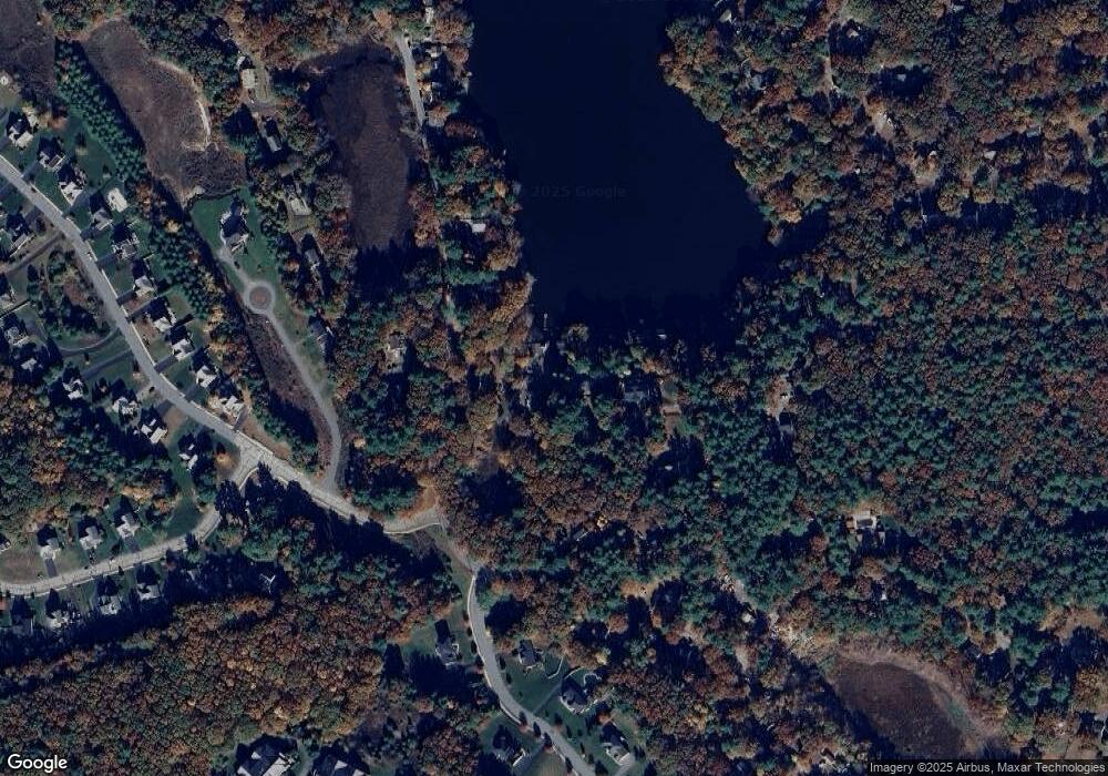
Map
Nearby Homes
- 10 Populatic Street Extension
- 99 Leland Rd
- 40 Lakeshore Dr
- 72 Skyline Dr
- 100 Daniels St
- 83 Oliver Pond Cir Unit 7
- 91 Oliver Pond Cir Unit 3
- 254 Daniels St
- 12 Ariana Ln
- 839 Lincoln St
- 1 Granite Dr
- 29 Elm St
- 14 Sanford St Unit 47
- 10 Barber St
- 20 Broad St Unit 1
- 20 Broad St Unit 6
- 20 Broad St Unit A
- 20 Broad St Unit 4
- 48 Dover Cir
- 27 Dover Cir
- 15 Cottage Ave
- 29 Populatic St
- 22 Old Populatic Rd
- 20 Old Populatic Rd
- 24 Populatic St
- 18 Old Populatic Rd
- 18 Old Populatic Rd
- 14 Cottage Ave
- 7 Old Populatic Rd
- 24 Old Populatic Rd
- 16 Old Populatic Rd
- 27 Populatic St
- 26 Populatic St
- 0 Old Populatic Rd
- 112 Populatic St
- 14 Old Populatic Rd
- 14 Old Populatic Rd Unit 14
- 110 Populatic St
- 110 Populatic Street Extension
- 180 Populatic St
Your Personal Tour Guide
Ask me questions while you tour the home.