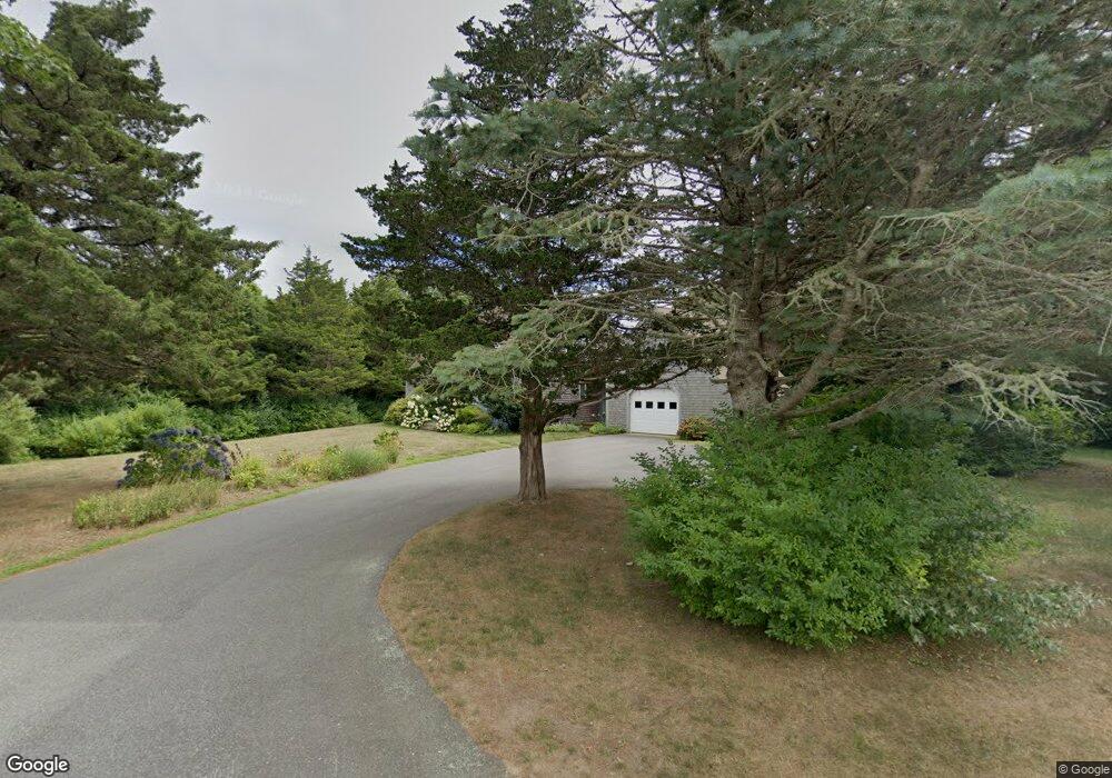
7 Prides Path Orleans, MA 02653
Estimated Value: $1,298,602 - $1,499,000
3
Beds
3
Baths
2,052
Sq Ft
$693/Sq Ft
Est. Value
About This Home
This home is located at 7 Prides Path, Orleans, MA 02653 and is currently estimated at $1,421,651, approximately $692 per square foot. 7 Prides Path is a home located in Barnstable County with nearby schools including Orleans Elementary School, Nauset Regional Middle School, and Nauset Regional High School.
Ownership History
Date
Name
Owned For
Owner Type
Purchase Details
Closed on
Sep 15, 2023
Sold by
Bartow William C and Bartow Susan M
Bought by
Bartow T T and Bartow B
Current Estimated Value
Purchase Details
Closed on
Sep 19, 2018
Sold by
Kantorski Ruth Est and Sadoski
Bought by
Bartow 3Rd William C and Miller-Bartow Susan
Purchase Details
Closed on
Nov 20, 2013
Sold by
Kantorski Ruth
Bought by
Harrington Karla A
Purchase Details
Closed on
Jun 2, 2008
Sold by
Gray Stephanie S
Bought by
Stephanie S Gray Ret and Gray
Purchase Details
Closed on
Sep 12, 2003
Sold by
Roderick Ryan J and Roderick A
Bought by
Rudd T James T and Rudd Jane M
Home Financials for this Owner
Home Financials are based on the most recent Mortgage that was taken out on this home.
Original Mortgage
$380,000
Interest Rate
6.22%
Mortgage Type
Purchase Money Mortgage
Purchase Details
Closed on
Sep 12, 1983
Bought by
Kantorski Ruth
Create a Home Valuation Report for This Property
The Home Valuation Report is an in-depth analysis detailing your home's value as well as a comparison with similar homes in the area
Home Values in the Area
Average Home Value in this Area
Purchase History
| Date | Buyer | Sale Price | Title Company |
|---|---|---|---|
| Bartow T T | -- | None Available | |
| Bartow 3Rd William C | $700,000 | -- | |
| Harrington Karla A | -- | -- | |
| Stephanie S Gray Ret | -- | -- | |
| Rudd T James T | $475,000 | -- | |
| Kantorski Ruth | $57,000 | -- |
Source: Public Records
Mortgage History
| Date | Status | Borrower | Loan Amount |
|---|---|---|---|
| Previous Owner | Kantorski Ruth | $380,000 |
Source: Public Records
Tax History
| Year | Tax Paid | Tax Assessment Tax Assessment Total Assessment is a certain percentage of the fair market value that is determined by local assessors to be the total taxable value of land and additions on the property. | Land | Improvement |
|---|---|---|---|---|
| 2025 | $7,176 | $1,150,000 | $595,000 | $555,000 |
| 2024 | $6,882 | $1,073,700 | $550,900 | $522,800 |
| 2023 | $5,240 | $841,100 | $450,100 | $391,000 |
| 2022 | $5,155 | $716,000 | $436,400 | $279,600 |
| 2021 | $5,337 | $680,800 | $443,900 | $236,900 |
| 2020 | $5,108 | $675,700 | $443,900 | $231,800 |
| 2019 | $5,249 | $709,300 | $431,500 | $277,800 |
| 2018 | $4,526 | $682,700 | $423,200 | $259,500 |
| 2017 | $4,266 | $673,900 | $423,200 | $250,700 |
| 2016 | $4,148 | $642,100 | $396,400 | $245,700 |
| 2015 | $4,057 | $631,900 | $388,600 | $243,300 |
Source: Public Records
Map
Nearby Homes
- 343 Tonset Rd
- 46 Freeman Ln
- 20 Kittiwake Ln
- 25 Twin Rocks Dr
- 1061 State Hwy Unit 4
- 1061 State Hwy Unit 1061
- 320 State Hwy
- 330 Hay Rd
- 55 Grandfathers Way
- 216 Main St
- 110 Beach Rd
- 22 Karen Way
- 7 Brick Hill Ext Rd
- 7 Brick Hill Rd
- 13 S Orleans Rd Unit 28
- 2 Reilly Run
- 3 Reilly Run
- 44 Tonset Rd
- 19 Monument Rd
- 32 Locust Rd
Your Personal Tour Guide
Ask me questions while you tour the home.