7 Selfridge Ln Hubbardston, MA 01452
Estimated Value: $529,000 - $709,054
3
Beds
3
Baths
1,568
Sq Ft
$382/Sq Ft
Est. Value
About This Home
This home is located at 7 Selfridge Ln, Hubbardston, MA 01452 and is currently estimated at $599,018, approximately $382 per square foot. 7 Selfridge Ln is a home located in Worcester County with nearby schools including Quabbin Regional Middle School and Quabbin Regional High School.
Create a Home Valuation Report for This Property
The Home Valuation Report is an in-depth analysis detailing your home's value as well as a comparison with similar homes in the area
Home Values in the Area
Average Home Value in this Area
Tax History Compared to Growth
Tax History
| Year | Tax Paid | Tax Assessment Tax Assessment Total Assessment is a certain percentage of the fair market value that is determined by local assessors to be the total taxable value of land and additions on the property. | Land | Improvement |
|---|---|---|---|---|
| 2025 | $6,632 | $567,800 | $239,000 | $328,800 |
| 2024 | $5,909 | $501,200 | $207,200 | $294,000 |
| 2023 | $5,796 | $444,800 | $201,600 | $243,200 |
| 2022 | $6,227 | $444,800 | $201,600 | $243,200 |
| 2021 | $5,954 | $402,000 | $201,600 | $200,400 |
| 2020 | $5,903 | $398,300 | $201,600 | $196,700 |
| 2019 | $5,776 | $379,500 | $216,000 | $163,500 |
| 2018 | $5,603 | $370,300 | $216,000 | $154,300 |
| 2017 | $5,640 | $370,300 | $216,000 | $154,300 |
| 2016 | $5,624 | $353,700 | $216,000 | $137,700 |
| 2015 | $5,398 | $361,800 | $216,000 | $145,800 |
| 2014 | $5,253 | $361,800 | $216,000 | $145,800 |
Source: Public Records
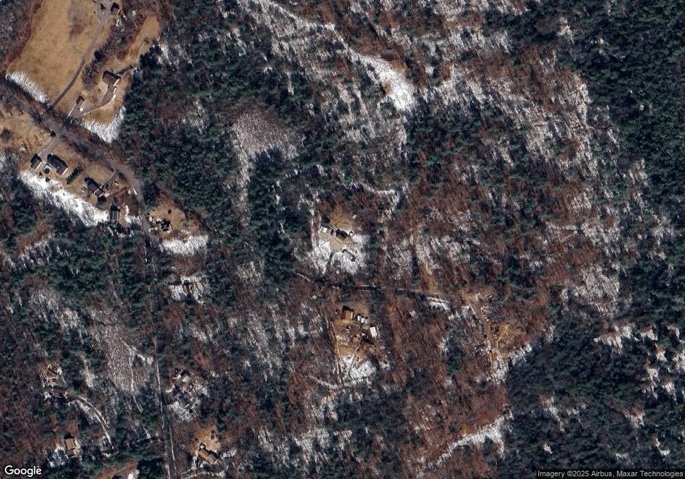
Map
Nearby Homes
- 0 Williamsville Rd
- 7 Williamsville Rd
- 63 Gardner Rd
- 105 Hale Rd
- 1 Barre Road Cut Off
- 75 Barre Rd
- 47 Harty Dr
- 85 Marsh Rd
- 3 Gary Rd
- 65 Victoria Ln
- 40 Burnshirt Rd
- 225 Queen Lake Rd
- 204 East St
- Lot 0 Old Westminster Rd
- 171 South Rd
- 254 Gardner Rd
- 87 Hubbardston Rd
- 198 School St N
- 420 Queen Lake Rd
- 0 Bentley Rd