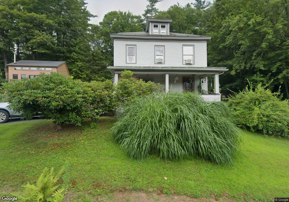
7 Spring St Shelburne Falls, MA 01370
Buckland NeighborhoodEstimated Value: $340,626 - $404,000
4
Beds
2
Baths
1,588
Sq Ft
$239/Sq Ft
Est. Value
About This Home
This home is located at 7 Spring St, Shelburne Falls, MA 01370 and is currently estimated at $378,907, approximately $238 per square foot. 7 Spring St is a home with nearby schools including Mohawk Trail Regional High School.
Ownership History
Date
Name
Owned For
Owner Type
Purchase Details
Closed on
Jul 15, 2019
Sold by
Wall Thomas E and Wall Kathleen I
Bought by
Wall Int and Wall W
Current Estimated Value
Purchase Details
Closed on
Oct 21, 1981
Bought by
Wall Thomas E and Wall Kathleen I
Create a Home Valuation Report for This Property
The Home Valuation Report is an in-depth analysis detailing your home's value as well as a comparison with similar homes in the area
Home Values in the Area
Average Home Value in this Area
Purchase History
| Date | Buyer | Sale Price | Title Company |
|---|---|---|---|
| Wall Int | -- | -- | |
| Wall Int | -- | -- | |
| Wall Thomas E | $25,500 | -- |
Source: Public Records
Mortgage History
| Date | Status | Borrower | Loan Amount |
|---|---|---|---|
| Previous Owner | Wall Thomas E | $50,000 | |
| Previous Owner | Wall Thomas E | $30,000 | |
| Previous Owner | Wall Thomas E | $7,000 |
Source: Public Records
Tax History Compared to Growth
Tax History
| Year | Tax Paid | Tax Assessment Tax Assessment Total Assessment is a certain percentage of the fair market value that is determined by local assessors to be the total taxable value of land and additions on the property. | Land | Improvement |
|---|---|---|---|---|
| 2025 | $4,408 | $260,200 | $46,400 | $213,800 |
| 2024 | $4,314 | $245,700 | $46,400 | $199,300 |
| 2023 | $3,803 | $224,500 | $46,600 | $177,900 |
| 2022 | $3,767 | $224,500 | $46,600 | $177,900 |
| 2021 | $3,440 | $192,800 | $46,600 | $146,200 |
| 2020 | $3,317 | $179,100 | $46,600 | $132,500 |
| 2019 | $3,122 | $167,600 | $46,600 | $121,000 |
| 2018 | $3,050 | $161,800 | $46,600 | $115,200 |
| 2017 | $2,920 | $161,800 | $46,600 | $115,200 |
| 2016 | $2,738 | $162,000 | $46,600 | $115,400 |
| 2015 | $2,722 | $162,000 | $46,600 | $115,400 |
Source: Public Records
Map
Nearby Homes
- 10 Deerfield Ave Unit 5
- 10 Deerfield Ave Unit 2
- 33 Williams St
- 105 - 107 Bridge St
- 102 Elm St
- 2151 Route 2
- 2155 Massachusetts 2
- 7 Hog Hollow Rd
- 156 Ashfield Rd
- 0 Upper St
- 31 W Oxbow Rd
- 24 W Oxbow Rd
- 0 W Oxbow Rd Unit 73453651
- 0 Ashfield Rd
- 3+5 Church St
- 143 Charlemont Rd
- 85 Dacey Rd
- lot 1 Shelburne Falls Rd
- 240 Beldingville Rd
- 0 Fiske Mill Rd
- 84 Ashfield St
- 80 Ashfield St
- 10 Spring St
- Lot 6 Bray Rd
- Lot 10 Bray Rd
- 13 Spring St
- 0 Bray Rd Unit 72324562
- 0 Bray Rd Unit 70840155
- 0 Bray Rd Unit 71173788
- 0 Bray Rd Unit 70326440
- 0 Bray Rd Unit 72643296
- 0 Bray Rd Unit 72437163
- 4 Bray Rd
- 81 Ashfield St
- 1 Kratt Ave
- 10 Kratt Ave
- 11 Walker Rd
- 10 Walker Rd
- 70 Ashfield St
- 74 Ashfield St