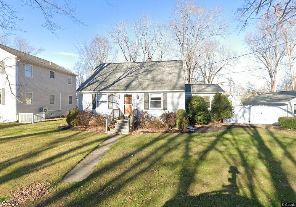
7 Spruce St Brentwood, NH 03833
Estimated Value: $610,210 - $637,000
4
Beds
3
Baths
3,359
Sq Ft
$185/Sq Ft
Est. Value
About This Home
This home is located at 7 Spruce St, Brentwood, NH 03833 and is currently estimated at $621,053, approximately $184 per square foot. 7 Spruce St is a home located in Rockingham County with nearby schools including Main Street School, Lincoln Street Elementary School, and Cooperative Middle School.
Ownership History
Date
Name
Owned For
Owner Type
Purchase Details
Closed on
Jul 23, 2018
Sold by
Humphreys Jennifer M and Humphreys Stephen R
Bought by
Kennedy Carolyn
Current Estimated Value
Home Financials for this Owner
Home Financials are based on the most recent Mortgage that was taken out on this home.
Original Mortgage
$299,250
Outstanding Balance
$259,345
Interest Rate
4.5%
Mortgage Type
Purchase Money Mortgage
Estimated Equity
$361,708
Purchase Details
Closed on
Feb 1, 2001
Sold by
Boyle Dennis M
Bought by
Humphreys Stephen R and Humphreys Jennifer M
Home Financials for this Owner
Home Financials are based on the most recent Mortgage that was taken out on this home.
Original Mortgage
$178,400
Interest Rate
7.14%
Create a Home Valuation Report for This Property
The Home Valuation Report is an in-depth analysis detailing your home's value as well as a comparison with similar homes in the area
Home Values in the Area
Average Home Value in this Area
Purchase History
| Date | Buyer | Sale Price | Title Company |
|---|---|---|---|
| Kennedy Carolyn | $399,000 | -- | |
| Humphreys Stephen R | $209,900 | -- |
Source: Public Records
Mortgage History
| Date | Status | Borrower | Loan Amount |
|---|---|---|---|
| Open | Kennedy Carolyn | $299,250 | |
| Previous Owner | Humphreys Stephen R | $153,400 | |
| Previous Owner | Humphreys Stephen R | $178,400 |
Source: Public Records
Tax History Compared to Growth
Tax History
| Year | Tax Paid | Tax Assessment Tax Assessment Total Assessment is a certain percentage of the fair market value that is determined by local assessors to be the total taxable value of land and additions on the property. | Land | Improvement |
|---|---|---|---|---|
| 2024 | $8,970 | $504,200 | $252,300 | $251,900 |
| 2023 | $8,669 | $323,700 | $148,400 | $175,300 |
| 2022 | $8,012 | $323,700 | $148,400 | $175,300 |
| 2021 | $7,772 | $323,700 | $148,400 | $175,300 |
| 2020 | $1,114 | $323,700 | $148,400 | $175,300 |
| 2019 | $1,321 | $323,700 | $148,400 | $175,300 |
| 2018 | $6,966 | $253,300 | $109,100 | $144,200 |
| 2017 | $1,230 | $252,800 | $109,100 | $143,700 |
| 2016 | $6,633 | $252,800 | $109,100 | $143,700 |
| 2015 | $6,457 | $252,800 | $109,100 | $143,700 |
| 2014 | $7,008 | $268,900 | $109,200 | $159,700 |
| 2013 | $6,999 | $268,900 | $109,200 | $159,700 |
| 2011 | $6,798 | $268,900 | $109,200 | $159,700 |
Source: Public Records
Map
Nearby Homes
- 48 Winter St
- 709 Nottingham Dr
- 17-19 Dartmouth St
- 27 Tremont St
- 27-29 Tremont St
- 69 Main St Unit G
- 4 Brookside Dr Unit 6
- 4 Brookside Dr Unit 10
- 1 Brookside Dr Unit 2
- 50 Brookside Dr Unit 3
- 50 Brookside Dr Unit A5
- 50 Brookside Dr Unit N6
- 16-18 Myrtle St
- 13 Little River Rd Unit lot 2
- 9 School St
- 10 Little River Rd Unit Lot 6
- 24 Wadleigh St Unit 4
- 72 Wadleigh St Unit 38
- 96 Wadleigh St Unit 31
- 115 Front St