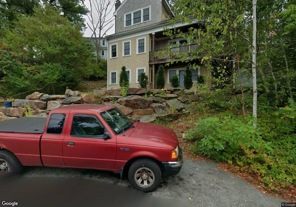
7 Uncas Rd Gloucester, MA 01930
West Gloucester NeighborhoodEstimated Value: $822,000 - $936,000
3
Beds
2
Baths
2,218
Sq Ft
$399/Sq Ft
Est. Value
About This Home
This home is located at 7 Uncas Rd, Gloucester, MA 01930 and is currently estimated at $884,680, approximately $398 per square foot. 7 Uncas Rd is a home located in Essex County with nearby schools including West Parish, Ralph B O'maley Middle School, and Gloucester High School.
Ownership History
Date
Name
Owned For
Owner Type
Purchase Details
Closed on
Oct 24, 2000
Sold by
Ray Richard F
Bought by
Muniz Michael W and Muniz Kellie M
Current Estimated Value
Home Financials for this Owner
Home Financials are based on the most recent Mortgage that was taken out on this home.
Original Mortgage
$63,750
Interest Rate
7.88%
Mortgage Type
Purchase Money Mortgage
Create a Home Valuation Report for This Property
The Home Valuation Report is an in-depth analysis detailing your home's value as well as a comparison with similar homes in the area
Home Values in the Area
Average Home Value in this Area
Purchase History
| Date | Buyer | Sale Price | Title Company |
|---|---|---|---|
| Muniz Michael W | $85,000 | -- |
Source: Public Records
Mortgage History
| Date | Status | Borrower | Loan Amount |
|---|---|---|---|
| Open | Muniz Michael W | $318,000 | |
| Closed | Muniz Michael W | $50,000 | |
| Closed | Muniz Michael W | $310,000 | |
| Closed | Muniz Michael W | $63,750 |
Source: Public Records
Tax History
| Year | Tax Paid | Tax Assessment Tax Assessment Total Assessment is a certain percentage of the fair market value that is determined by local assessors to be the total taxable value of land and additions on the property. | Land | Improvement |
|---|---|---|---|---|
| 2025 | $8,025 | $825,600 | $219,900 | $605,700 |
| 2024 | $7,931 | $815,100 | $209,400 | $605,700 |
| 2023 | $7,579 | $715,700 | $187,000 | $528,700 |
| 2022 | $7,456 | $635,600 | $162,500 | $473,100 |
| 2021 | $7,192 | $578,100 | $147,800 | $430,300 |
| 2020 | $7,180 | $582,300 | $147,800 | $434,500 |
| 2019 | $6,858 | $540,400 | $147,800 | $392,600 |
| 2018 | $6,618 | $511,800 | $147,800 | $364,000 |
| 2017 | $6,508 | $493,400 | $140,700 | $352,700 |
| 2016 | $6,341 | $465,900 | $146,800 | $319,100 |
| 2015 | $6,021 | $441,100 | $146,800 | $294,300 |
Source: Public Records
Map
Nearby Homes
- 5 Samoset Rd Unit B
- 5 Lepage Ln
- 24 Cobblestone Ln Unit 603
- 145 Essex Ave Unit 402
- 368 Essex Ave
- 5 Marshfield St
- 3 Rockland St
- 15 Harvard St
- 13 Leslie o Johnson Rd
- 6 Monroe Ct
- 20 Beacon St
- 20 Beacon St Unit 2
- 20 Beacon St Unit 1
- 120 Washington St
- 98 Maplewood Ave
- 13 Honeysuckle Rd
- 8 Mystic Ave
- 13 Mystic Ave
- 9 Cleveland Place
- 33 Middle St
- 12 Massasoit Rd
- 4 Uncas Rd
- 7 King Philip Rd
- 7 King Philip Rd
- 11 Uncas Rd
- 2 King Philip Rd
- 13 Uncas Rd
- 9 King Philip Rd
- 1 Massasoit Rd
- 205 Essex Ave
- 6 Heath Heights
- 15 Uncas Rd
- 207 Essex Ave
- 201 Essex Ave
- 201R Essex Ave
- 13 King Philip Rd
- 10 Heath Heights
- 2 Heath Heights
- 16 Uncas Rd
- 19 Uncas Rd Unit B
Your Personal Tour Guide
Ask me questions while you tour the home.