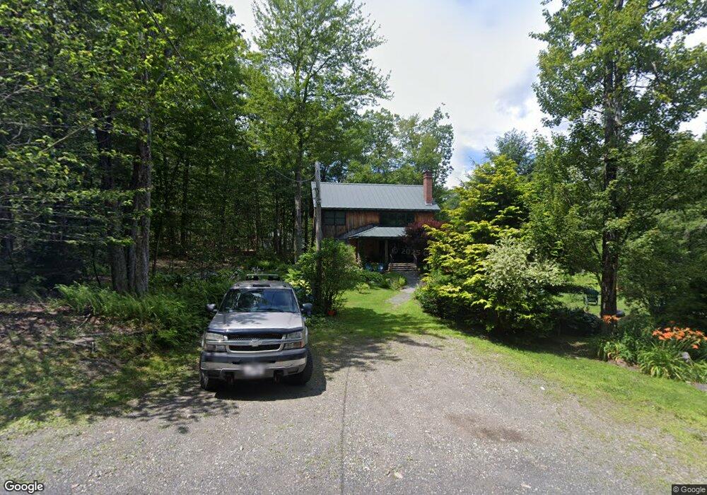
7 W Brook Dr Heath, MA 01346
Heath NeighborhoodEstimated Value: $280,000 - $370,000
2
Beds
2
Baths
1,784
Sq Ft
$177/Sq Ft
Est. Value
About This Home
This home is located at 7 W Brook Dr, Heath, MA 01346 and is currently estimated at $316,010, approximately $177 per square foot. 7 W Brook Dr is a home with nearby schools including Mohawk Trail Regional High School.
Ownership History
Date
Name
Owned For
Owner Type
Purchase Details
Closed on
Oct 18, 2004
Sold by
Lachance Richard Andrew
Bought by
Lachance Richard A and Lachance Carey A
Current Estimated Value
Home Financials for this Owner
Home Financials are based on the most recent Mortgage that was taken out on this home.
Original Mortgage
$150,000
Interest Rate
5.8%
Mortgage Type
Purchase Money Mortgage
Create a Home Valuation Report for This Property
The Home Valuation Report is an in-depth analysis detailing your home's value as well as a comparison with similar homes in the area
Home Values in the Area
Average Home Value in this Area
Purchase History
| Date | Buyer | Sale Price | Title Company |
|---|---|---|---|
| Lachance Richard A | -- | -- |
Source: Public Records
Mortgage History
| Date | Status | Borrower | Loan Amount |
|---|---|---|---|
| Open | Lachance Richard A | $304,486 | |
| Closed | Lachance Richard A | $150,000 |
Source: Public Records
Tax History
| Year | Tax Paid | Tax Assessment Tax Assessment Total Assessment is a certain percentage of the fair market value that is determined by local assessors to be the total taxable value of land and additions on the property. | Land | Improvement |
|---|---|---|---|---|
| 2025 | $4,481 | $238,200 | $26,500 | $211,700 |
| 2024 | $4,687 | $229,400 | $26,500 | $202,900 |
| 2023 | $5,095 | $222,700 | $26,500 | $196,200 |
| 2022 | $4,687 | $217,900 | $26,500 | $191,400 |
| 2021 | $4,614 | $204,900 | $26,500 | $178,400 |
| 2020 | $4,577 | $205,700 | $26,500 | $179,200 |
| 2019 | $4,504 | $208,500 | $27,600 | $180,900 |
| 2018 | $4,547 | $208,500 | $27,600 | $180,900 |
| 2017 | $4,217 | $200,900 | $27,200 | $173,700 |
| 2016 | $4,135 | $201,600 | $27,200 | $174,400 |
| 2015 | $4,042 | $202,500 | $27,200 | $175,300 |
Source: Public Records
Map
Nearby Homes
- 8 Deer Run Path
- 14 South Rd
- 0 W Oxbow Rd Unit 73453651
- 0 W Oxbow Rd Unit 248444
- 24 W Oxbow Rd
- 594 Massachusetts 8a
- 1451 Massachusetts 2
- 1451 Route 2 E
- 2155 Massachusetts 2
- 2151 Route 2
- Lot 121 Davis Mine Rd
- 168 Main St
- 251 Phillips Hill Rd
- 442 Mcmillan Rd
- 0 Warfield Rd
- 0 Potters Rd Unit 248445
- 0 Potters Rd Unit 73439831
- 829 Pennel Hill Rd
- 295 Jacksonville Rd
- 7 Hog Hollow Rd
- 27 W Brook Dr
- 16 W Brook Dr
- 16 Westbrook Dr
- 18 W Brook Dr
- 12 Lakeview Dr
- 2 W Brook Dr
- 12 Cheyenne St
- 21 Lakeview Dr
- 22 Lakeview Dr
- 23 E Brook Dr
- 27 E Brook Dr
- 08-09 Cheyenne St
- 16 Clearwater Dr
- 1 Deer Run Path
- 1 Clearwater Dr
- 4 E Brook Dr
- 32 Deer Run Path
- 30,32, Navaho Ln
- 4 Deer Run Path
- 1 Shawnee Dr
Your Personal Tour Guide
Ask me questions while you tour the home.