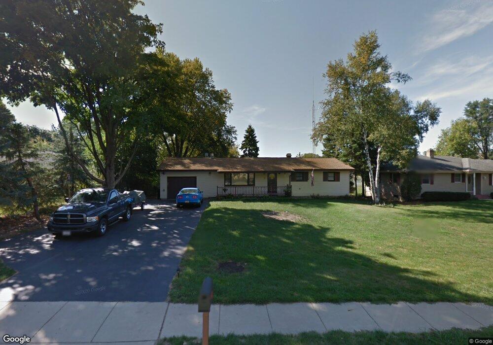
7 Walnut Ln Algonquin, IL 60102
Algonquin Heights NeighborhoodEstimated Value: $293,215 - $372,000
3
Beds
2
Baths
1,248
Sq Ft
$272/Sq Ft
Est. Value
About This Home
This home is located at 7 Walnut Ln, Algonquin, IL 60102 and is currently estimated at $339,054, approximately $271 per square foot. 7 Walnut Ln is a home located in McHenry County with nearby schools including Eastview Elementary School, Algonquin Middle School, and Dundee-Crown High School.
Ownership History
Date
Name
Owned For
Owner Type
Purchase Details
Closed on
Apr 27, 2000
Sold by
Brooks Scott T
Bought by
Malone Danny R and Malone Betty J
Current Estimated Value
Home Financials for this Owner
Home Financials are based on the most recent Mortgage that was taken out on this home.
Original Mortgage
$120,000
Outstanding Balance
$41,426
Interest Rate
8.13%
Estimated Equity
$297,628
Purchase Details
Closed on
Jul 21, 1997
Sold by
Brooks Scott T and Brooks Kristi L
Bought by
Brooks Scott T
Create a Home Valuation Report for This Property
The Home Valuation Report is an in-depth analysis detailing your home's value as well as a comparison with similar homes in the area
Home Values in the Area
Average Home Value in this Area
Purchase History
| Date | Buyer | Sale Price | Title Company |
|---|---|---|---|
| Malone Danny R | $158,000 | Attorneys Title Guaranty Fun | |
| Brooks Scott T | -- | -- |
Source: Public Records
Mortgage History
| Date | Status | Borrower | Loan Amount |
|---|---|---|---|
| Open | Malone Danny R | $120,000 |
Source: Public Records
Tax History
| Year | Tax Paid | Tax Assessment Tax Assessment Total Assessment is a certain percentage of the fair market value that is determined by local assessors to be the total taxable value of land and additions on the property. | Land | Improvement |
|---|---|---|---|---|
| 2024 | -- | $81,395 | $14,447 | $66,948 |
| 2023 | -- | $72,798 | $12,921 | $59,877 |
| 2022 | $0 | $60,116 | $13,389 | $46,727 |
| 2021 | $0 | $56,005 | $12,473 | $43,532 |
| 2020 | $0 | $54,022 | $12,031 | $41,991 |
| 2019 | $0 | $51,705 | $11,515 | $40,190 |
| 2018 | $0 | $47,764 | $10,637 | $37,127 |
| 2017 | $0 | $44,997 | $10,021 | $34,976 |
| 2016 | $0 | $42,203 | $9,399 | $32,804 |
| 2013 | -- | $48,920 | $8,768 | $40,152 |
Source: Public Records
Map
Nearby Homes
- 719 Webster St
- 1188 E Algonquin Rd
- 600 E Algonquin Rd
- Lot 4 b Ryan Pkwy
- 953 Old Oak Cir
- 1770 E Algonquin Rd
- 1031 Timberwood Ln
- 1420 Greenridge Ave
- 0 River Dr N Unit MRD12473279
- 0 Natoma Trail
- lot 25 Wabican Trail
- 407 La Fox River Dr
- 1782 Cumberland Pkwy
- 1906 Ozark Pkwy
- 1321 Big Sur Pkwy
- 1923 Ozark Pkwy
- 1730 Tanglewood Dr
- 2 Cumberland Pkwy
- 21 Division St
- 2027 Teton Pkwy
Your Personal Tour Guide
Ask me questions while you tour the home.