Estimated Value: $312,302 - $337,000
3
Beds
1
Bath
1,444
Sq Ft
$226/Sq Ft
Est. Value
About This Home
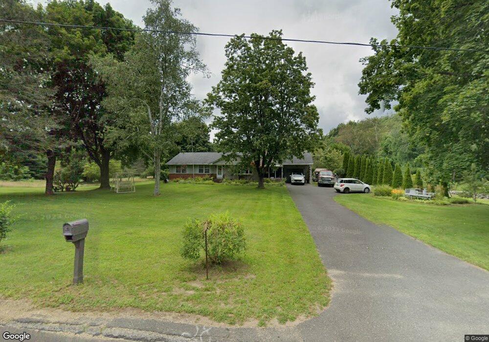
This home is located at 70 Anderson Rd, Ware, MA 01082 and is currently estimated at $326,576, approximately $226 per square foot. 70 Anderson Rd is a home located in Hampshire County with nearby schools including Stanley M. Koziol Elementary School, Ware Middle School, and Ware Junior/Senior High School.
Ownership History
Date
Name
Owned For
Owner Type
Purchase Details
Closed on
Apr 29, 2022
Sold by
Shlosser Mary J Est and Shlosser
Bought by
Shlosser Mark R
Current Estimated Value
Home Financials for this Owner
Home Financials are based on the most recent Mortgage that was taken out on this home.
Original Mortgage
$112,000
Outstanding Balance
$104,560
Interest Rate
4.16%
Mortgage Type
Purchase Money Mortgage
Estimated Equity
$222,016
Purchase Details
Closed on
Aug 19, 2005
Sold by
Gaudreau Helena R Est and Gaudreau
Bought by
Shlosser Albert and Shlosser Mary
Purchase Details
Closed on
Mar 8, 2005
Sold by
Bukowski Tadeusz
Bought by
Bukowski Const Llc
Purchase Details
Closed on
Sep 15, 2004
Sold by
Beaver Assoc Inc
Bought by
Bukowski Tadeusz
Home Financials for this Owner
Home Financials are based on the most recent Mortgage that was taken out on this home.
Original Mortgage
$74,400
Interest Rate
6.02%
Mortgage Type
Purchase Money Mortgage
Create a Home Valuation Report for This Property
The Home Valuation Report is an in-depth analysis detailing your home's value as well as a comparison with similar homes in the area
Home Values in the Area
Average Home Value in this Area
Purchase History
| Date | Buyer | Sale Price | Title Company |
|---|---|---|---|
| Shlosser Mark R | $243,000 | None Available | |
| Shlosser Albert | $230,000 | -- | |
| Shlosser Albert | $230,000 | -- | |
| Bukowski Const Llc | -- | -- | |
| Bukowski Tadeusz | $74,400 | -- |
Source: Public Records
Mortgage History
| Date | Status | Borrower | Loan Amount |
|---|---|---|---|
| Open | Shlosser Mark R | $112,000 | |
| Previous Owner | Bukowski Tadeusz | $74,400 |
Source: Public Records
Tax History
| Year | Tax Paid | Tax Assessment Tax Assessment Total Assessment is a certain percentage of the fair market value that is determined by local assessors to be the total taxable value of land and additions on the property. | Land | Improvement |
|---|---|---|---|---|
| 2025 | $3,934 | $261,200 | $54,100 | $207,100 |
| 2024 | $3,774 | $231,100 | $51,000 | $180,100 |
| 2023 | $3,652 | $211,600 | $49,300 | $162,300 |
| 2022 | $3,622 | $187,300 | $45,600 | $141,700 |
| 2021 | $3,580 | $177,400 | $45,600 | $131,800 |
| 2020 | $3,495 | $169,400 | $45,600 | $123,800 |
| 2019 | $3,424 | $169,400 | $45,600 | $123,800 |
| 2018 | $3,324 | $160,500 | $44,400 | $116,100 |
| 2017 | $3,101 | $149,300 | $44,400 | $104,900 |
| 2016 | $3,017 | $149,300 | $44,400 | $104,900 |
| 2015 | $2,934 | $149,300 | $44,400 | $104,900 |
| 2014 | $2,906 | $158,700 | $45,800 | $112,900 |
Source: Public Records
Map
Nearby Homes
- 310 Palmer Rd
- 201 West St
- 201 Belchertown Rd
- LOT 3 Monson Turnpike Rd
- 375 Belchertown Rd
- 67 Babcock Tavern Rd
- Lot 16 Coldbrook Dr
- Lot 20 Coldbrook Dr
- Lot 22 Coldbrook Dr
- Lot 13 Coldbrook Dr
- Lot 25 Coldbrook Dr
- 30 Warebrook Village
- 24 Clinton St
- 87 W Main St
- 6 Winslow Rd
- 23 West St Unit 25
- 7 Webb Ct
- 60 Quaboag Valley Co Op St
- 44 South St
- 79 Pleasant St
Your Personal Tour Guide
Ask me questions while you tour the home.