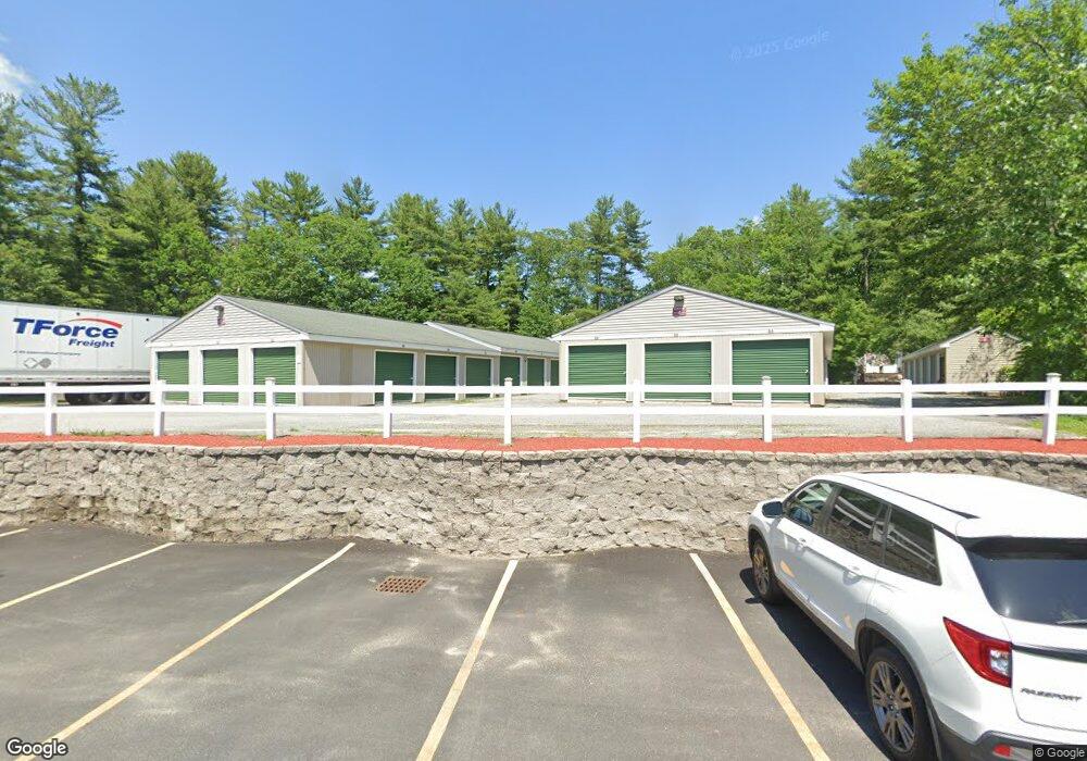
70 Bridge St Pelham, NH 03076
--
Bed
--
Bath
--
Sq Ft
--
Built
About This Home
This home is located at 70 Bridge St, Pelham, NH 03076. 70 Bridge St is a home located in Hillsborough County with nearby schools including Pelham Elementary School, Pelham Memorial School, and Pelham High School.
Ownership History
Date
Name
Owned For
Owner Type
Purchase Details
Closed on
Jun 23, 1999
Sold by
Lyon William David and Lyon Charlene M
Bought by
Pps Rt
Home Financials for this Owner
Home Financials are based on the most recent Mortgage that was taken out on this home.
Original Mortgage
$110,000
Interest Rate
7.09%
Mortgage Type
Commercial
Create a Home Valuation Report for This Property
The Home Valuation Report is an in-depth analysis detailing your home's value as well as a comparison with similar homes in the area
Home Values in the Area
Average Home Value in this Area
Purchase History
| Date | Buyer | Sale Price | Title Company |
|---|---|---|---|
| Pps Rt | $127,000 | -- |
Source: Public Records
Mortgage History
| Date | Status | Borrower | Loan Amount |
|---|---|---|---|
| Open | Pps Rt | $350,000 | |
| Closed | Pps Rt | $300,000 | |
| Open | Pps Rt | $1,000,000 | |
| Closed | Pps Rt | $110,000 |
Source: Public Records
Tax History Compared to Growth
Tax History
| Year | Tax Paid | Tax Assessment Tax Assessment Total Assessment is a certain percentage of the fair market value that is determined by local assessors to be the total taxable value of land and additions on the property. | Land | Improvement |
|---|---|---|---|---|
| 2024 | $57,490 | $3,134,700 | $805,600 | $2,329,100 |
| 2023 | $57,020 | $3,134,700 | $805,600 | $2,329,100 |
| 2022 | $54,606 | $3,134,700 | $805,600 | $2,329,100 |
| 2021 | $49,640 | $3,110,300 | $805,600 | $2,304,700 |
| 2020 | $59,485 | $2,944,800 | $805,600 | $2,139,200 |
| 2019 | $57,129 | $2,944,800 | $805,600 | $2,139,200 |
| 2018 | $55,663 | $2,593,800 | $805,600 | $1,788,200 |
| 2017 | $55,637 | $2,593,800 | $805,600 | $1,788,200 |
| 2016 | $54,340 | $2,593,800 | $805,600 | $1,788,200 |
| 2015 | $53,393 | $2,295,500 | $805,600 | $1,489,900 |
| 2014 | $53,248 | $2,328,300 | $805,600 | $1,522,700 |
| 2013 | $53,248 | $2,328,300 | $805,600 | $1,522,700 |
Source: Public Records
Map
Nearby Homes
- 59 Thistlewood Dr Unit 47
- 1 Currier Rd
- 50 Dutton Rd
- 10 Dutton Rd
- 71 Deer Hill Cir
- 4 Melody Ln
- 2 Iris Ave
- 63 Marsh Rd
- 34 Frontier Dr
- 9 Cornstalk Ln
- 4 Haystack Cir
- 290 Mammoth Rd
- 50 Stephen Ave
- 67 Lincoln Ln
- 19 Esther Way Unit Lot 10
- 2 S Shore Dr
- 20 Esther Way Unit 11
- 436 Mammoth Rd
- 321 Old Marsh Hill Rd
- 446 Mammoth Rd
- 77 Bridge St
- 75 Bridge St Unit 1
- 75 Bridge St Unit 2
- 71 Bridge St Unit 6
- 71 Bridge St Unit 5
- 71 Bridge St Unit 4
- 71 Bridge St
- 71 Bridge St
- 71 Bridge St Unit 3
- 71 Bridge St Unit 71
- 71 Bridge St Unit 1
- 71 Bridge St Unit 2
- 71 Bridge St Unit 2
- 79 Bridge St
- 82 Russell Dr
- 5 Chagnon Ln
- 7 Chagnon Ln
- 65 Bridge St
- 10 Peabody Ln
- 14 Peabody Ln