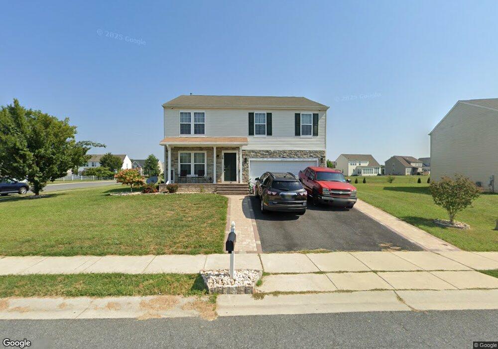
70 Burnside Dr Smyrna, DE 19977
Estimated Value: $481,000 - $515,000
4
Beds
4
Baths
2,560
Sq Ft
$193/Sq Ft
Est. Value
About This Home
This home is located at 70 Burnside Dr, Smyrna, DE 19977 and is currently estimated at $493,510, approximately $192 per square foot. 70 Burnside Dr is a home with nearby schools including Sunnyside Elementary School, John Bassett Moore Intermediate School, and Smyrna Middle School.
Ownership History
Date
Name
Owned For
Owner Type
Purchase Details
Closed on
Jun 19, 2020
Sold by
Secretary Of Veterans Affairs
Bought by
Newrez Llc
Current Estimated Value
Purchase Details
Closed on
Sep 27, 2013
Sold by
Pulte Home Corp
Bought by
Laurin Dward P
Home Financials for this Owner
Home Financials are based on the most recent Mortgage that was taken out on this home.
Original Mortgage
$236,080
Interest Rate
4.53%
Mortgage Type
VA
Create a Home Valuation Report for This Property
The Home Valuation Report is an in-depth analysis detailing your home's value as well as a comparison with similar homes in the area
Home Values in the Area
Average Home Value in this Area
Purchase History
| Date | Buyer | Sale Price | Title Company |
|---|---|---|---|
| Newrez Llc | -- | None Available | |
| Laurin Dward P | $236,080 | None Available |
Source: Public Records
Mortgage History
| Date | Status | Borrower | Loan Amount |
|---|---|---|---|
| Previous Owner | Laurin Dward P | $236,080 |
Source: Public Records
Tax History Compared to Growth
Tax History
| Year | Tax Paid | Tax Assessment Tax Assessment Total Assessment is a certain percentage of the fair market value that is determined by local assessors to be the total taxable value of land and additions on the property. | Land | Improvement |
|---|---|---|---|---|
| 2025 | $579 | $483,100 | $97,800 | $385,300 |
| 2024 | $579 | $483,100 | $97,800 | $385,300 |
| 2023 | $549 | $61,300 | $5,600 | $55,700 |
| 2022 | $523 | $61,300 | $5,600 | $55,700 |
| 2021 | $1,940 | $61,300 | $5,600 | $55,700 |
| 2020 | $1,733 | $61,300 | $5,600 | $55,700 |
| 2019 | $1,744 | $61,300 | $5,600 | $55,700 |
| 2018 | $1,744 | $61,300 | $5,600 | $55,700 |
| 2017 | $1,740 | $61,300 | $0 | $0 |
| 2016 | $1,028 | $61,300 | $0 | $0 |
| 2015 | -- | $61,300 | $0 | $0 |
| 2014 | -- | $60,600 | $0 | $0 |
Source: Public Records
Map
Nearby Homes
- 107 Newgate Cir
- 299 W Clarendon Dr
- 7 Pegasus Ln
- 2 Cyclops Trail
- 117 E Clarendon Dr
- 26 Cyclops Trail
- 125 E Clarendon Dr
- 14 Gorgons Ave
- 63 Raphael Rd
- 35 Liborio Ln
- 8 Aidone Ln
- 58 Vincent Ct
- 59 Vincent Ct
- 671 Widener Ln
- 675 Widener Ln
- 428 Christiana River Dr
- 191 Gravelly Run Branch Rd
- 176 Gravelly Run Branch Rd
- 699 W Lake Dr
- 122 Gardenside Dr
- 198 W Pembrooke Dr
- 195 W Pembrooke Dr
- 227 Eastmoor Cir
- 58 Burnside Dr
- 46 Burnside Dr
- 213 Eastmoor Cir
- 216 W Pembrooke Dr
- 210 Eastmoor Cir
- 35 Burnside Dr
- 211 W Pembrooke Dr
- 225 W Pembrooke Dr
- 196 Eastmoor Cir
- 197 Eastmoor Cir
- 32 Burnside Dr
- 232 W Pembrooke Dr
- 103 Ormonde Cir
- 225 Ashvale Dr
- 180 Eastmoor Cir
- 14 Burnside Dr
- 91 Ormonde Cir