70 Dougherty Ln New Boston, NH 03070
Estimated Value: $584,642 - $605,000
3
Beds
2
Baths
2,634
Sq Ft
$225/Sq Ft
Est. Value
About This Home
This home is located at 70 Dougherty Ln, New Boston, NH 03070 and is currently estimated at $593,661, approximately $225 per square foot. 70 Dougherty Ln is a home with nearby schools including New Boston Central School and Goffstown High School.
Ownership History
Date
Name
Owned For
Owner Type
Purchase Details
Closed on
Aug 7, 2015
Sold by
Hamel Glen M and Hamel Amy
Bought by
Hamel Amy
Current Estimated Value
Purchase Details
Closed on
Oct 14, 2005
Sold by
Ricard Linda A
Bought by
Hamel Glen M and Hamel Amy
Home Financials for this Owner
Home Financials are based on the most recent Mortgage that was taken out on this home.
Original Mortgage
$270,400
Interest Rate
5.78%
Mortgage Type
Purchase Money Mortgage
Create a Home Valuation Report for This Property
The Home Valuation Report is an in-depth analysis detailing your home's value as well as a comparison with similar homes in the area
Home Values in the Area
Average Home Value in this Area
Purchase History
| Date | Buyer | Sale Price | Title Company |
|---|---|---|---|
| Hamel Amy | -- | -- | |
| Hamel Glen M | $338,000 | -- |
Source: Public Records
Mortgage History
| Date | Status | Borrower | Loan Amount |
|---|---|---|---|
| Previous Owner | Hamel Glen M | $243,729 | |
| Previous Owner | Hamel Glen M | $270,400 | |
| Previous Owner | Hamel Glen M | $100,000 |
Source: Public Records
Tax History Compared to Growth
Tax History
| Year | Tax Paid | Tax Assessment Tax Assessment Total Assessment is a certain percentage of the fair market value that is determined by local assessors to be the total taxable value of land and additions on the property. | Land | Improvement |
|---|---|---|---|---|
| 2024 | $9,611 | $404,000 | $143,400 | $260,600 |
| 2023 | $8,221 | $404,000 | $143,400 | $260,600 |
| 2022 | $7,749 | $404,000 | $143,400 | $260,600 |
| 2021 | $7,474 | $404,000 | $143,400 | $260,600 |
| 2020 | $7,263 | $301,500 | $93,100 | $208,400 |
| 2019 | $7,553 | $301,500 | $93,100 | $208,400 |
| 2018 | $11,619 | $301,500 | $93,100 | $208,400 |
| 2017 | $7,342 | $301,500 | $93,100 | $208,400 |
| 2016 | $7,040 | $301,500 | $93,100 | $208,400 |
| 2015 | $7,188 | $269,100 | $82,900 | $186,200 |
| 2014 | $6,849 | $269,100 | $82,900 | $186,200 |
| 2013 | $6,523 | $269,100 | $82,900 | $186,200 |
Source: Public Records
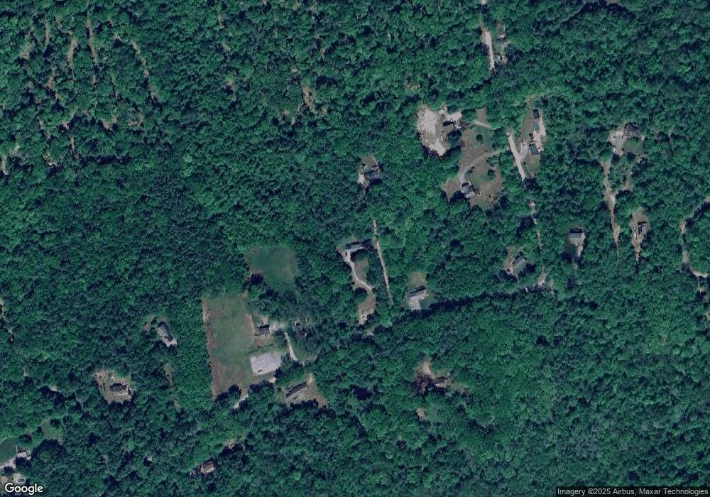
Map
Nearby Homes
- 256 Middle Branch Rd
- 179 Oak Hill Rd
- 450 Weare Rd
- 342 Weare Rd
- Lot 1-50-1 Colburn Rd
- 95 Wright Dr
- 252 Clark Hill Rd
- 34 Lull Rd
- 77 Gould Rd
- 54 Briar Hill Rd
- 103 Renshaw Rd
- 93 Daniels Rd
- 196 Deering Center Rd
- 200 Mountain Rd
- 624 S Stark Hwy
- 1 Old Coach Rd
- 16 Meetinghouse Hill Rd
- 1 Cemetery Rd
- 174 S Stark Hwy Unit 13
- 174 S Stark Hwy Unit 1
- 66 Dougherty Ln
- 68 Dougherty Ln
- 69 Dougherty Ln
- 2-17-5 Dougherty Ln
- 82 Dougherty Ln
- 54 Dougherty Ln
- 265 Tucker Mill Rd
- 83 Dougherty Ln
- 264 Tucker Mill Rd
- 98 Dougherty Ln
- Lot 2-17-3 Dougherty
- 46 Dougherty Ln
- 1 Middle Branch Rd
- 1 Middle Branch Rd
- 3 Middle Branch Rd
- 1 Middle Branch Rd
- 278 Tucker Mill Rd
- 101 Dougherty Ln
- 106 Dougherty Ln
- Lot 17-4 Dougherty Ln