70 Dow Island Moultonborough, NH 03254
Estimated Value: $924,424 - $1,256,000
3
Beds
2
Baths
1,209
Sq Ft
$870/Sq Ft
Est. Value
About This Home
This home is located at 70 Dow Island, Moultonborough, NH 03254 and is currently estimated at $1,052,106, approximately $870 per square foot. 70 Dow Island is a home with nearby schools including Moultonborough Central School and Moultonborough Academy High School.
Ownership History
Date
Name
Owned For
Owner Type
Purchase Details
Closed on
Dec 18, 2020
Sold by
Palmer William J
Bought by
William J Palmer Ret and Palmer
Current Estimated Value
Purchase Details
Closed on
Apr 4, 2013
Sold by
Palmer William and Palmer Mary A
Bought by
Palmer William and Palmer Mary A
Purchase Details
Closed on
Jan 1, 1988
Bought by
Dearth John G and Dearth Karen M
Create a Home Valuation Report for This Property
The Home Valuation Report is an in-depth analysis detailing your home's value as well as a comparison with similar homes in the area
Home Values in the Area
Average Home Value in this Area
Purchase History
| Date | Buyer | Sale Price | Title Company |
|---|---|---|---|
| William J Palmer Ret | -- | None Available | |
| Palmer William | -- | -- | |
| Dearth John G | -- | -- |
Source: Public Records
Tax History Compared to Growth
Tax History
| Year | Tax Paid | Tax Assessment Tax Assessment Total Assessment is a certain percentage of the fair market value that is determined by local assessors to be the total taxable value of land and additions on the property. | Land | Improvement |
|---|---|---|---|---|
| 2024 | $4,640 | $821,300 | $665,500 | $155,800 |
| 2023 | $4,287 | $752,100 | $598,000 | $154,100 |
| 2022 | $2,954 | $618,000 | $478,900 | $139,100 |
| 2021 | $3,464 | $496,300 | $374,600 | $121,700 |
| 2020 | $3,251 | $455,900 | $340,600 | $115,300 |
| 2019 | $3,200 | $447,500 | $323,600 | $123,900 |
| 2018 | $3,080 | $399,000 | $277,300 | $121,700 |
| 2017 | $2,260 | $368,000 | $258,800 | $109,200 |
| 2016 | $3,122 | $357,200 | $250,200 | $107,000 |
| 2015 | $3,156 | $350,300 | $250,200 | $100,100 |
| 2014 | $2,962 | $334,300 | $250,200 | $84,100 |
| 2013 | $2,905 | $334,300 | $250,200 | $84,100 |
Source: Public Records
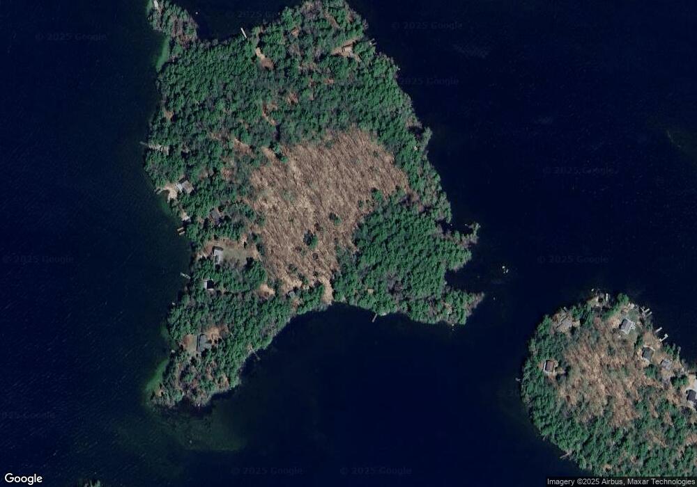
Map
Nearby Homes
- 14 Island View Dr
- 00 Beede Rd
- 167 Long Island Rd
- 10 Woodridge Rd
- 00 Rivers Rd
- 16 Long Island Rd
- 323 Governor Wentworth Hwy
- 9 Starboard Ln Unit 1
- 7 Flint Dr
- 24 Shirley Way
- 4 Mill Pond Rd
- 5 Bennett Farm Rd
- 31 Rays Way
- 3 Mountain Shadows Dr Unit 2
- 2 Oak Leaf Ave
- 4 Partridge Berry Cir
- 106 Middle Rd
- 2 Jordan Way
- Lot 4 Vere Royce Rd
- 23 Ledge Hill Rd
- 50 Dow Island
- 42 Dow Island
- 46 Dow Island
- 56 Dow Island
- 1 Whortleberry Island
- 36 Dow Island
- 2 Whortleberry Island
- 2 Whortleberry Island
- 2 Dow Island
- 10 Dow Island
- 6 Dow Island
- 3 Whortleberry Island
- 66 Whortleberry Island
- 4 Whortleberry Island
- 5 Whortleberry Island
- 1 Merry Hill (Hurricane)
- 1 Merry (Hurricane)
- 6 Whortleberry Island
- 7 Whortleberry Island
- 8 Whortleberry Island