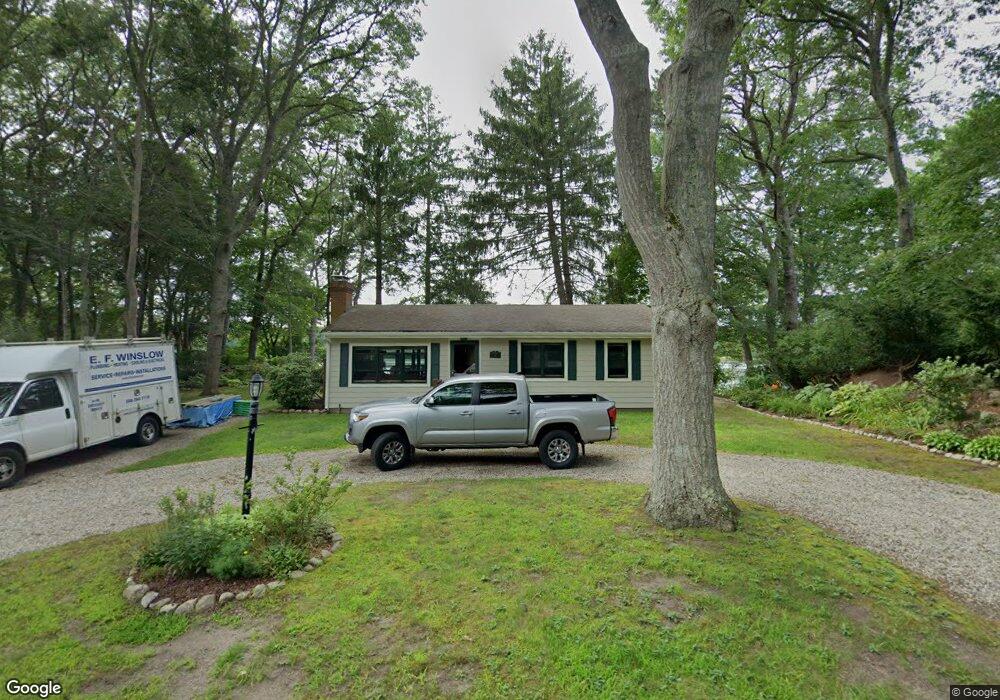
70 Lake Dr Pocasset, MA 02559
Pocasset NeighborhoodEstimated Value: $540,000 - $688,000
3
Beds
1
Bath
960
Sq Ft
$609/Sq Ft
Est. Value
About This Home
This home is located at 70 Lake Dr, Pocasset, MA 02559 and is currently estimated at $584,873, approximately $609 per square foot. 70 Lake Dr is a home located in Barnstable County with nearby schools including Bourne High School, Cadence Academy Preschool - Bourne, and St Margaret Regional School.
Ownership History
Date
Name
Owned For
Owner Type
Purchase Details
Closed on
May 1, 2007
Sold by
Wigon Rt and Wigon
Bought by
Wigon Family Lp and Wigon
Current Estimated Value
Home Financials for this Owner
Home Financials are based on the most recent Mortgage that was taken out on this home.
Original Mortgage
$280,000
Outstanding Balance
$168,737
Interest Rate
6.18%
Mortgage Type
Purchase Money Mortgage
Estimated Equity
$416,136
Create a Home Valuation Report for This Property
The Home Valuation Report is an in-depth analysis detailing your home's value as well as a comparison with similar homes in the area
Home Values in the Area
Average Home Value in this Area
Purchase History
| Date | Buyer | Sale Price | Title Company |
|---|---|---|---|
| Wigon Family Lp | -- | -- | |
| Obrien Laurel | $350,000 | -- | |
| Obrien Laurel | $350,000 | -- |
Source: Public Records
Mortgage History
| Date | Status | Borrower | Loan Amount |
|---|---|---|---|
| Open | Obrien Laurel | $280,000 | |
| Closed | Obrien Laurel | $52,500 |
Source: Public Records
Tax History
| Year | Tax Paid | Tax Assessment Tax Assessment Total Assessment is a certain percentage of the fair market value that is determined by local assessors to be the total taxable value of land and additions on the property. | Land | Improvement |
|---|---|---|---|---|
| 2025 | $3,724 | $476,800 | $288,600 | $188,200 |
| 2024 | $3,647 | $454,800 | $274,900 | $179,900 |
| 2023 | $3,546 | $402,500 | $243,300 | $159,200 |
| 2022 | $3,148 | $312,000 | $185,600 | $126,400 |
| 2021 | $3,059 | $284,000 | $168,900 | $115,100 |
| 2020 | $2,967 | $276,300 | $167,300 | $109,000 |
| 2019 | $2,840 | $270,200 | $167,300 | $102,900 |
| 2018 | $2,661 | $252,500 | $159,300 | $93,200 |
| 2017 | $2,706 | $262,700 | $170,500 | $92,200 |
| 2016 | $2,659 | $261,700 | $183,100 | $78,600 |
| 2015 | $2,381 | $236,400 | $157,800 | $78,600 |
Source: Public Records
Map
Nearby Homes
- 7 4th Ave
- 3 4th Ave
- 3 1st St
- 709 County Rd
- 16 Michael Rd
- 254 Barlows Landing Rd
- 48 Red Brook Harbor Rd
- 1234 Route 28a
- 1234 Route 28a
- 14 Navajo Rd
- 20 Colony Ave
- 566 Shore Rd
- 15 Oak Ave
- 31 Baxendale Rd
- 4 Harbor Hill Dr
- 75 Winsor Rd
- 16 Amberwood Ct
- 203 County Rd
- 12 Turnberry Rd Unit 12
- 4 Hollyhock Knoll Ct Unit 4
Your Personal Tour Guide
Ask me questions while you tour the home.