Estimated Value: $459,761 - $493,000
3
Beds
2
Baths
1,504
Sq Ft
$318/Sq Ft
Est. Value
About This Home
This home is located at 70 Martin Rd, Weare, NH 03281 and is currently estimated at $477,940, approximately $317 per square foot. 70 Martin Rd is a home located in Hillsborough County with nearby schools including Center Woods Elementary School, Weare Middle School, and John Stark Regional High School.
Ownership History
Date
Name
Owned For
Owner Type
Purchase Details
Closed on
Apr 10, 2015
Sold by
Fnma
Bought by
Higginbottom Gregory P and Higginbotton Amy E
Current Estimated Value
Home Financials for this Owner
Home Financials are based on the most recent Mortgage that was taken out on this home.
Original Mortgage
$152,000
Outstanding Balance
$116,464
Interest Rate
3.77%
Estimated Equity
$361,476
Purchase Details
Closed on
Nov 14, 2014
Sold by
Mcgrade Paula A
Bought by
Fhlmc
Purchase Details
Closed on
Jul 31, 2003
Sold by
Lovering Randy J and Lovering Stephanie H
Bought by
Mcgrade William F and Mcgrade Paula A
Home Financials for this Owner
Home Financials are based on the most recent Mortgage that was taken out on this home.
Original Mortgage
$165,000
Interest Rate
5.28%
Purchase Details
Closed on
Oct 1, 1999
Sold by
Cox Robert B and Cox Janis T
Bought by
Lovering Randy J and Lovering Stephanie N
Home Financials for this Owner
Home Financials are based on the most recent Mortgage that was taken out on this home.
Original Mortgage
$110,000
Interest Rate
7.85%
Create a Home Valuation Report for This Property
The Home Valuation Report is an in-depth analysis detailing your home's value as well as a comparison with similar homes in the area
Home Values in the Area
Average Home Value in this Area
Purchase History
| Date | Buyer | Sale Price | Title Company |
|---|---|---|---|
| Higginbottom Gregory P | $95,000 | -- | |
| Fhlmc | $137,900 | -- | |
| Mcgrade William F | $209,900 | -- | |
| Lovering Randy J | $125,000 | -- |
Source: Public Records
Mortgage History
| Date | Status | Borrower | Loan Amount |
|---|---|---|---|
| Open | Higginbottom Gregory P | $152,000 | |
| Previous Owner | Lovering Randy J | $145,209 | |
| Previous Owner | Lovering Randy J | $25,000 | |
| Previous Owner | Lovering Randy J | $165,000 | |
| Previous Owner | Lovering Randy J | $110,000 |
Source: Public Records
Tax History Compared to Growth
Tax History
| Year | Tax Paid | Tax Assessment Tax Assessment Total Assessment is a certain percentage of the fair market value that is determined by local assessors to be the total taxable value of land and additions on the property. | Land | Improvement |
|---|---|---|---|---|
| 2024 | $5,740 | $281,500 | $97,700 | $183,800 |
| 2023 | $5,303 | $281,500 | $97,700 | $183,800 |
| 2022 | $4,898 | $281,500 | $97,700 | $183,800 |
| 2021 | $4,842 | $281,500 | $97,700 | $183,800 |
| 2020 | $4,529 | $189,100 | $70,700 | $118,400 |
| 2019 | $4,484 | $189,100 | $70,700 | $118,400 |
| 2018 | $4,355 | $189,100 | $70,700 | $118,400 |
| 2016 | $4,230 | $189,100 | $70,700 | $118,400 |
| 2015 | $4,139 | $184,700 | $69,200 | $115,500 |
| 2014 | $4,129 | $185,900 | $69,200 | $116,700 |
| 2013 | $4,043 | $185,900 | $69,200 | $116,700 |
Source: Public Records
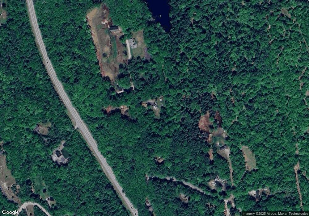
Map
Nearby Homes
- 10 Sap House Rd
- 196 Deering Center Rd
- 624 S Stark Hwy
- 103 Renshaw Rd
- 281 Hodgdon Rd
- 77 Gould Rd
- 0 Huntington Hill Rd Unit 69
- 849 River Rd
- 194 Buckley Rd Unit 2
- 194 Buckley Rd Unit 44
- 179 Oak Hill Rd
- 200 Mountain Rd
- 93 Daniels Rd
- 174 S Stark Hwy Unit 13
- 174 S Stark Hwy Unit 1
- 174 S Stark Hwy Unit 23
- 30 Dels Way
- 92 Woodbury Rd
- 450 Weare Rd
- 256 Middle Branch Rd