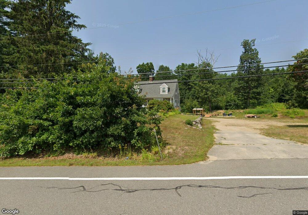
70 Merrimack Rd Amherst, NH 03031
Estimated Value: $564,888 - $649,000
4
Beds
2
Baths
1,862
Sq Ft
$321/Sq Ft
Est. Value
About This Home
This home is located at 70 Merrimack Rd, Amherst, NH 03031 and is currently estimated at $597,722, approximately $321 per square foot. 70 Merrimack Rd is a home with nearby schools including Wilkins Elementary School, Amherst Middle School, and Souhegan Cooperative High School.
Ownership History
Date
Name
Owned For
Owner Type
Purchase Details
Closed on
Nov 29, 2019
Sold by
Rondeau Peter and Rondeau Greta
Bought by
Disilva Allyson J
Current Estimated Value
Home Financials for this Owner
Home Financials are based on the most recent Mortgage that was taken out on this home.
Original Mortgage
$348,230
Outstanding Balance
$307,015
Interest Rate
3.6%
Mortgage Type
Purchase Money Mortgage
Estimated Equity
$290,707
Purchase Details
Closed on
Aug 16, 2017
Sold by
Martin Michael J
Bought by
Rondeau Peter and Rondeay Greta
Create a Home Valuation Report for This Property
The Home Valuation Report is an in-depth analysis detailing your home's value as well as a comparison with similar homes in the area
Home Values in the Area
Average Home Value in this Area
Purchase History
| Date | Buyer | Sale Price | Title Company |
|---|---|---|---|
| Disilva Allyson J | $359,000 | -- | |
| Rondeau Peter | $120,000 | -- |
Source: Public Records
Mortgage History
| Date | Status | Borrower | Loan Amount |
|---|---|---|---|
| Open | Disilva Allyson J | $348,230 |
Source: Public Records
Tax History Compared to Growth
Tax History
| Year | Tax Paid | Tax Assessment Tax Assessment Total Assessment is a certain percentage of the fair market value that is determined by local assessors to be the total taxable value of land and additions on the property. | Land | Improvement |
|---|---|---|---|---|
| 2024 | $8,720 | $380,300 | $138,400 | $241,900 |
| 2023 | $8,321 | $380,300 | $138,400 | $241,900 |
| 2022 | $8,036 | $380,300 | $138,400 | $241,900 |
| 2021 | $8,104 | $380,300 | $138,400 | $241,900 |
| 2020 | $7,459 | $261,900 | $111,400 | $150,500 |
| 2019 | $6,570 | $243,700 | $111,400 | $132,300 |
| 2018 | $6,121 | $224,800 | $111,400 | $113,400 |
| 2017 | $7,329 | $224,800 | $111,400 | $113,400 |
| 2016 | $5,642 | $224,800 | $111,400 | $113,400 |
| 2015 | $6,445 | $243,400 | $134,600 | $108,800 |
| 2014 | $6,489 | $243,400 | $134,600 | $108,800 |
| 2013 | $6,438 | $243,400 | $134,600 | $108,800 |
Source: Public Records
Map
Nearby Homes
- 7 Corduroy Rd Unit 20
- 5 Chandler Ln
- 16 Storybrook Ln
- 18 Storybrook Ln
- 9 Northfield Rd
- 24 Deerwood Dr
- 7 Fox Run Rd
- 3 Beechtree Way
- 0 Claude Rd
- 1A Debbie Ln
- 4 County Rd
- 2 County Rd
- 148 County Rd
- 150 County Rd Unit 4-142-8
- 150 County Rd
- 8 Carriage Ln
- 6 Veterans Rd Unit 15
- 377 Nashua St
- 6 Whittemore Ln
- 16 Captain Danforth Ln
- 68 Merrimack Rd
- 2 Pine Acres Rd
- 4 Pine Acres Rd
- 1 Pine Acres Rd
- 6 Pine Acres Rd
- 11 Pine Acres Rd
- 5 Pine Acres Rd
- 66A Merrimack Rd
- 66 Merrimack Rd
- 75 Merrimack Rd
- 2 Jennifer Ln
- 9 Pine Acres Rd
- 16 Pine Acres Rd
- 14 Pine Acres Rd
- 12 Pine Acres Rd
- 10 Pine Acres Rd
- 77 Merrimack Rd
- 1 Jennifer Ln
- 78 Merrimack Rd
- 8 Jennifer Ln