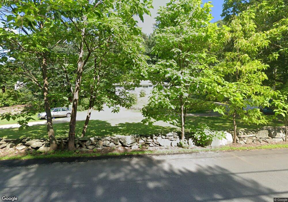
70 Middle Dunstable Rd Nashua, NH 03062
Southwest Nashua NeighborhoodEstimated Value: $425,000 - $619,000
4
Beds
1
Bath
1,244
Sq Ft
$425/Sq Ft
Est. Value
About This Home
This home is located at 70 Middle Dunstable Rd, Nashua, NH 03062 and is currently estimated at $529,113, approximately $425 per square foot. 70 Middle Dunstable Rd is a home located in Hillsborough County with nearby schools including Bicentennial Elementary School, Fairgrounds Middle School, and Nashua High School South.
Ownership History
Date
Name
Owned For
Owner Type
Purchase Details
Closed on
Nov 27, 1996
Sold by
Stewart Irene F
Bought by
Caron Guy R and Caron Jill E
Current Estimated Value
Home Financials for this Owner
Home Financials are based on the most recent Mortgage that was taken out on this home.
Original Mortgage
$104,500
Outstanding Balance
$10,054
Interest Rate
7.82%
Estimated Equity
$519,059
Create a Home Valuation Report for This Property
The Home Valuation Report is an in-depth analysis detailing your home's value as well as a comparison with similar homes in the area
Home Values in the Area
Average Home Value in this Area
Purchase History
| Date | Buyer | Sale Price | Title Company |
|---|---|---|---|
| Caron Guy R | $110,000 | -- |
Source: Public Records
Mortgage History
| Date | Status | Borrower | Loan Amount |
|---|---|---|---|
| Open | Caron Guy R | $104,500 |
Source: Public Records
Tax History Compared to Growth
Tax History
| Year | Tax Paid | Tax Assessment Tax Assessment Total Assessment is a certain percentage of the fair market value that is determined by local assessors to be the total taxable value of land and additions on the property. | Land | Improvement |
|---|---|---|---|---|
| 2024 | $7,599 | $477,900 | $200,100 | $277,800 |
| 2023 | $7,203 | $395,100 | $160,000 | $235,100 |
| 2022 | $7,139 | $395,100 | $160,000 | $235,100 |
| 2021 | $6,399 | $275,600 | $119,600 | $156,000 |
| 2020 | $6,231 | $275,600 | $119,600 | $156,000 |
| 2019 | $5,997 | $275,600 | $119,600 | $156,000 |
| 2018 | $5,845 | $275,600 | $119,600 | $156,000 |
| 2017 | $5,037 | $195,300 | $93,500 | $101,800 |
| 2016 | $4,896 | $195,300 | $93,500 | $101,800 |
| 2015 | $4,791 | $195,300 | $93,500 | $101,800 |
| 2014 | $4,697 | $195,300 | $93,500 | $101,800 |
Source: Public Records
Map
Nearby Homes
- 19 Georgetown Dr
- 12 Mountain Laurels Dr Unit U-207
- 10 Mountain Laurels Dr Unit 606
- 32 Cadogan Way Unit UZ257
- 18 Cadogan Way Unit UY250
- 95 Hawthorne Village Rd Unit U389
- 51 Legacy Dr
- 84 Hawthorne Village Rd Unit U414
- 29 Hawthorne Village Rd Unit U357
- 58 Wilderness Dr
- 8 Hikers Ln
- 65 Wilderness Dr
- 50 Wilderness Dr
- 4 Hikers Ln
- 46 Wilderness Dr
- 1 Wilderness Dr
- 7 Doucet Ave
- 63 Wilderness Dr Unit Derby 2
- 79 Wilderness Dr
- 2 Wilderness Dr
- 63 Georgetown Dr
- 61 Georgetown Dr
- 65 Georgetown Dr
- 59 Georgetown Dr
- 67 Georgetown Dr
- 11 Green Heron Ln Unit U39
- 69 Georgetown Dr
- 69 Georgetown Dr
- 15 Green Heron Ln Unit U38
- 68 Middle Dunstable Rd
- 57 Georgetown Dr
- 17 Green Heron Ln Unit U37
- 70 Georgetown Dr
- 55 Georgetown Dr
- 19 Green Heron Ln Unit U36
- 68 Georgetown Dr
- 53 Georgetown Dr
- 66 Georgetown Dr
- 51 Georgetown Dr Unit 51
- 51 Georgetown Dr Unit 53