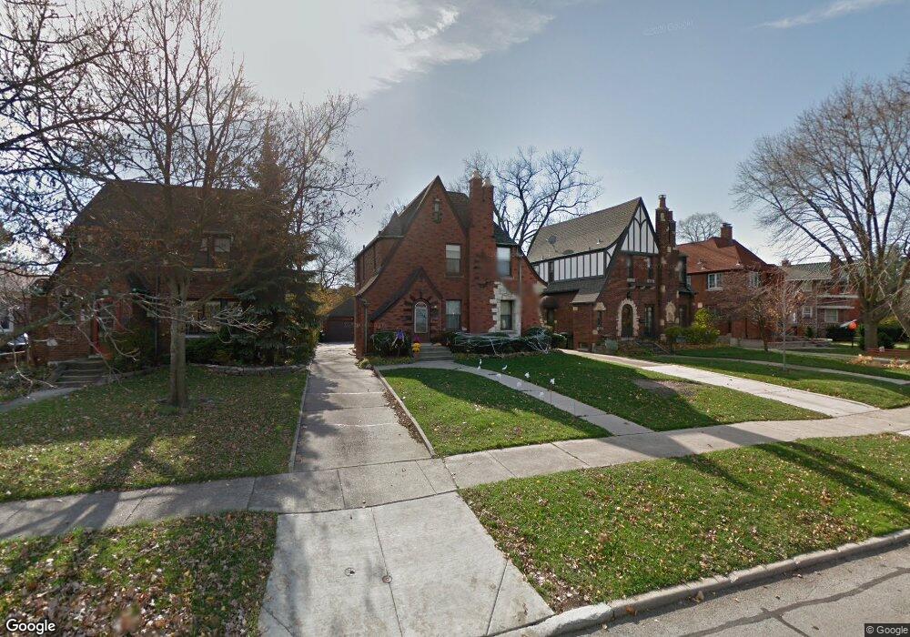
70 N Herbert Rd Riverside, IL 60546
Estimated Value: $591,599 - $665,000
3
Beds
2
Baths
1,903
Sq Ft
$327/Sq Ft
Est. Value
About This Home
This home is located at 70 N Herbert Rd, Riverside, IL 60546 and is currently estimated at $622,400, approximately $327 per square foot. 70 N Herbert Rd is a home located in Cook County with nearby schools including Central Elementary School, L J Hauser Jr High School, and Riverside Brookfield High School.
Ownership History
Date
Name
Owned For
Owner Type
Purchase Details
Closed on
May 19, 2025
Sold by
Hill Mark and Hill Amy
Bought by
Mark C Hill And Amy L Hill Joint Trust and Hill
Current Estimated Value
Purchase Details
Closed on
Dec 21, 2009
Sold by
Swiatek Alice
Bought by
Hill Mark and Hill Amy
Home Financials for this Owner
Home Financials are based on the most recent Mortgage that was taken out on this home.
Original Mortgage
$337,500
Interest Rate
4.9%
Mortgage Type
New Conventional
Create a Home Valuation Report for This Property
The Home Valuation Report is an in-depth analysis detailing your home's value as well as a comparison with similar homes in the area
Home Values in the Area
Average Home Value in this Area
Purchase History
| Date | Buyer | Sale Price | Title Company |
|---|---|---|---|
| Mark C Hill And Amy L Hill Joint Trust | -- | None Listed On Document | |
| Hill Mark | $375,000 | Chicago Title Insurance Co |
Source: Public Records
Mortgage History
| Date | Status | Borrower | Loan Amount |
|---|---|---|---|
| Previous Owner | Hill Mark | $337,500 |
Source: Public Records
Tax History
| Year | Tax Paid | Tax Assessment Tax Assessment Total Assessment is a certain percentage of the fair market value that is determined by local assessors to be the total taxable value of land and additions on the property. | Land | Improvement |
|---|---|---|---|---|
| 2025 | $14,295 | $44,548 | $8,600 | $35,948 |
| 2024 | $14,295 | $44,548 | $8,600 | $35,948 |
| 2023 | $13,468 | $48,000 | $8,600 | $39,400 |
| 2022 | $13,468 | $38,582 | $7,525 | $31,057 |
| 2021 | $12,974 | $38,582 | $7,525 | $31,057 |
| 2020 | $12,630 | $38,582 | $7,525 | $31,057 |
| 2019 | $11,268 | $35,444 | $6,880 | $28,564 |
| 2018 | $11,579 | $37,328 | $6,880 | $30,448 |
| 2017 | $11,223 | $37,328 | $6,880 | $30,448 |
| 2016 | $10,931 | $33,537 | $6,020 | $27,517 |
| 2015 | $10,637 | $33,537 | $6,020 | $27,517 |
| 2014 | $11,402 | $36,282 | $6,020 | $30,262 |
| 2013 | $10,123 | $35,079 | $6,020 | $29,059 |
Source: Public Records
Map
Nearby Homes
- 269 Shenstone Rd
- 108 E Burlington St Unit B
- 369 Addison Rd
- 475 Shenstone Rd Unit 104
- 475 Shenstone Rd Unit 304
- 475 Shenstone Rd Unit 303
- 231 Bartram Rd
- 484 Shenstone Rd
- 10 E Burlington St Unit 2C
- 10 E Burlington St Unit 2B
- 280 Blackhawk Rd
- 176 Riverside Rd
- 262 Lionel Rd
- 478 Kent Rd
- 303 Lionel Rd
- 7048 35th St
- 315 Bartram Rd
- 78 Pine Ave
- 101 Southcote Rd
- 3111 Wenonah Ave
- 259 Addison Rd
- 66 N Herbert Rd
- 255 Addison Rd
- 62 N Herbert Rd
- 242 Herrick Rd
- 242 Herrick Rd
- 252 Herrick Rd
- 238 Herrick Rd
- 256 Herrick Rd
- 234 Herrick Rd
- 46 N Herbert Rd
- 243 Addison Rd
- 230 Herrick Rd
- 61 N Herbert Rd
- 239 Addison Rd
- 228 Herrick Rd
- 224 Herrick Rd
- 235 Addison Rd
- 256 Addison Rd
- 252 Addison Rd
Your Personal Tour Guide
Ask me questions while you tour the home.