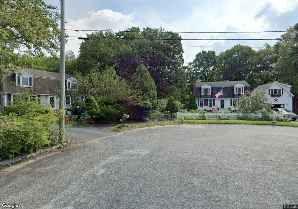
70 Phyllis Ln Franklin, MA 02038
Estimated Value: $720,000 - $834,000
3
Beds
2
Baths
2,105
Sq Ft
$361/Sq Ft
Est. Value
About This Home
This home is located at 70 Phyllis Ln, Franklin, MA 02038 and is currently estimated at $759,171, approximately $360 per square foot. 70 Phyllis Ln is a home located in Norfolk County with nearby schools including John F. Kennedy Memorial School, Horace Mann Middle School, and Franklin High School.
Ownership History
Date
Name
Owned For
Owner Type
Purchase Details
Closed on
Jan 21, 2020
Sold by
Todd Charles R and Todd Kim M
Bought by
Todd Phyllis Rt
Current Estimated Value
Purchase Details
Closed on
Oct 28, 1994
Sold by
Austin Paul D and Austin Doreen D
Bought by
Todd Charles R and Todd Kim M
Purchase Details
Closed on
Mar 31, 1989
Sold by
Rondeau Douglas
Bought by
Austin Paul D
Create a Home Valuation Report for This Property
The Home Valuation Report is an in-depth analysis detailing your home's value as well as a comparison with similar homes in the area
Home Values in the Area
Average Home Value in this Area
Purchase History
| Date | Buyer | Sale Price | Title Company |
|---|---|---|---|
| Todd Phyllis Rt | -- | None Available | |
| Todd Charles R | $172,000 | -- | |
| Austin Paul D | $185,000 | -- |
Source: Public Records
Mortgage History
| Date | Status | Borrower | Loan Amount |
|---|---|---|---|
| Previous Owner | Austin Paul D | $156,500 | |
| Previous Owner | Austin Paul D | $156,500 | |
| Previous Owner | Austin Paul D | $164,000 |
Source: Public Records
Tax History Compared to Growth
Tax History
| Year | Tax Paid | Tax Assessment Tax Assessment Total Assessment is a certain percentage of the fair market value that is determined by local assessors to be the total taxable value of land and additions on the property. | Land | Improvement |
|---|---|---|---|---|
| 2025 | $7,673 | $660,300 | $245,300 | $415,000 |
| 2024 | $7,294 | $618,700 | $245,300 | $373,400 |
| 2023 | $6,978 | $554,700 | $255,800 | $298,900 |
| 2022 | $6,667 | $474,500 | $211,400 | $263,100 |
| 2021 | $6,121 | $417,800 | $207,400 | $210,400 |
| 2020 | $6,135 | $422,800 | $222,900 | $199,900 |
| 2019 | $5,882 | $401,200 | $201,600 | $199,600 |
| 2018 | $5,712 | $389,900 | $211,300 | $178,600 |
| 2017 | $5,430 | $372,400 | $193,800 | $178,600 |
| 2016 | $5,517 | $380,500 | $206,700 | $173,800 |
| 2015 | $5,289 | $356,400 | $182,600 | $173,800 |
| 2014 | $5,000 | $346,000 | $172,200 | $173,800 |
Source: Public Records
Map
Nearby Homes
- 2 Noanet Brook Ln
- 214 Conlyn Ave
- 208 Irondequoit Rd
- 1805 Franklin Crossing Rd
- 2211 Franklin Crossing Rd Unit 2211
- 605 Franklin Crossing Rd
- 159 Highwood Dr
- 66 Highwood Dr
- 60 Southgate Rd
- 31 Highwood Dr
- 33 Stone Ridge Rd Unit 33
- 17 Pine St
- 336 Maple St
- 41 Kimberlee Ave
- 109 Stone Ridge Rd Unit 109
- 57 Raymond St Unit 2
- 2 Kayla Dr
- 151 Stone Ridge Rd
- 16 Danforth Way
- 951 Pond St