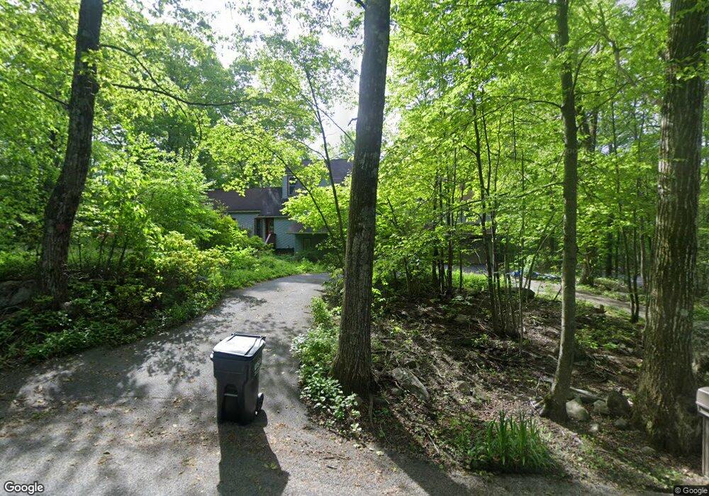
70 Pineridge Rd Montgomery, MA 01085
Estimated Value: $482,196 - $509,000
4
Beds
3
Baths
3,600
Sq Ft
$136/Sq Ft
Est. Value
About This Home
This home is located at 70 Pineridge Rd, Montgomery, MA 01085 and is currently estimated at $491,049, approximately $136 per square foot. 70 Pineridge Rd is a home located in Hampden County with nearby schools including Gateway Regional High School.
Ownership History
Date
Name
Owned For
Owner Type
Purchase Details
Closed on
Aug 8, 2025
Sold by
Smith Peter B and Smith Kathryn A
Bought by
Smith Evan and Roe Melanie
Current Estimated Value
Purchase Details
Closed on
Aug 31, 2001
Sold by
Pierce Michael T and Pierce Nicole
Bought by
Smith Peter B and Smith Kathryn A
Home Financials for this Owner
Home Financials are based on the most recent Mortgage that was taken out on this home.
Original Mortgage
$230,850
Interest Rate
7.06%
Mortgage Type
Purchase Money Mortgage
Purchase Details
Closed on
Apr 17, 1992
Sold by
Edry Paul A and Edry Alina E
Bought by
Pierce Michael T and Pierce Nicole
Create a Home Valuation Report for This Property
The Home Valuation Report is an in-depth analysis detailing your home's value as well as a comparison with similar homes in the area
Home Values in the Area
Average Home Value in this Area
Purchase History
| Date | Buyer | Sale Price | Title Company |
|---|---|---|---|
| Smith Evan | -- | -- | |
| Smith Evan | -- | -- | |
| Smith Peter B | $243,000 | -- | |
| Smith Peter B | $243,000 | -- | |
| Pierce Michael T | $127,000 | -- | |
| Pierce Michael T | $127,000 | -- |
Source: Public Records
Mortgage History
| Date | Status | Borrower | Loan Amount |
|---|---|---|---|
| Previous Owner | Pierce Michael T | $230,850 | |
| Previous Owner | Pierce Michael T | $20,000 |
Source: Public Records
Tax History Compared to Growth
Tax History
| Year | Tax Paid | Tax Assessment Tax Assessment Total Assessment is a certain percentage of the fair market value that is determined by local assessors to be the total taxable value of land and additions on the property. | Land | Improvement |
|---|---|---|---|---|
| 2025 | $4,934 | $435,100 | $74,900 | $360,200 |
| 2024 | $4,862 | $381,600 | $74,900 | $306,700 |
| 2023 | $4,412 | $297,100 | $62,700 | $234,400 |
| 2022 | $4,145 | $297,100 | $62,700 | $234,400 |
| 2021 | $3,946 | $283,900 | $62,700 | $221,200 |
| 2020 | $4,213 | $309,300 | $62,200 | $247,100 |
| 2019 | $4,089 | $309,300 | $62,200 | $247,100 |
| 2018 | $4,025 | $300,800 | $62,200 | $238,600 |
| 2017 | $3,987 | $289,100 | $66,200 | $222,900 |
| 2016 | $4,102 | $289,100 | $66,200 | $222,900 |
| 2015 | $4,134 | $287,700 | $60,300 | $227,400 |
| 2014 | $4,105 | $289,100 | $60,300 | $228,800 |
Source: Public Records
Map
Nearby Homes
- 79 Pine Ridge Rd
- 58 North Rd
- 83 Main Rd
- LOT 3 Brickyard Rd
- 50 North Rd
- 132 North Rd
- 317 Fomer Rd
- 77 Crooked Ledge Rd
- 1172 Huntington Rd
- 7 Quigley Rd
- 11 Mount Laurel Dr Unit 57
- 336 Russellville Rd
- 81 Pomeroy Terrace
- 347 Huntington Rd
- 239 Westfield Rd
- 119 Brickyard Rd
- Lot 5 Brickyard Rd
- 240 Russellville Rd
- Lot 6 Gil Farm Rd
- Lot 5 Gil Farm Rd
- 70 Pine Ridge Rd
- 33 Birch Bluff Rd
- 29 Birch Bluff Rd
- 73 Pineridge Rd
- 78 Pine Ridge Rd
- 78 Pineridge Rd
- 00 Birch Bluff
- Lot 01 Birch Bluff Dr
- 43 Birch Bluff Rd
- 79 Pineridge Rd
- 3 Birch Bluff Rd
- 38 Birch Bluff Rd
- 82 Pineridge Rd
- 16 Birch Bluff Rd
- 85 Pineridge Rd
- 85 Pine Ridge Rd
- 67 Pineridge Rd
- 42 Birch Bluff Rd
- 4 Birch Bluff Rd
- 86 Pineridge Rd