70 Red Roof Ln Laurel Fork, VA 24352
Laurel Fork NeighborhoodEstimated Value: $58,321 - $175,000
8
Beds
5
Baths
1,600
Sq Ft
$72/Sq Ft
Est. Value
About This Home
This home is located at 70 Red Roof Ln, Laurel Fork, VA 24352 and is currently estimated at $115,774, approximately $72 per square foot. 70 Red Roof Ln is a home located in Carroll County with nearby schools including Gladesboro Elementary School, Carroll County Middle School, and Carroll County High School.
Ownership History
Date
Name
Owned For
Owner Type
Purchase Details
Closed on
Sep 14, 2020
Sold by
Lilley Edgar T and Lilley Brenda
Bought by
Ellis Julie E
Current Estimated Value
Purchase Details
Closed on
Mar 7, 2011
Sold by
Branch Banking And Trust Co
Bought by
Lilley Edgar T and Lilley Brenda
Purchase Details
Closed on
Dec 2, 2010
Sold by
Burton Joseph Preston
Bought by
Branch Banking & Trust Co
Create a Home Valuation Report for This Property
The Home Valuation Report is an in-depth analysis detailing your home's value as well as a comparison with similar homes in the area
Home Values in the Area
Average Home Value in this Area
Purchase History
| Date | Buyer | Sale Price | Title Company |
|---|---|---|---|
| Ellis Julie E | $229,900 | None Available | |
| Lilley Edgar T | $85,000 | Fidelity National Title Insu | |
| Branch Banking & Trust Co | $48,541 | None Available |
Source: Public Records
Tax History Compared to Growth
Tax History
| Year | Tax Paid | Tax Assessment Tax Assessment Total Assessment is a certain percentage of the fair market value that is determined by local assessors to be the total taxable value of land and additions on the property. | Land | Improvement |
|---|---|---|---|---|
| 2025 | $230 | $47,000 | $20,400 | $26,600 |
| 2024 | $243 | $41,200 | $17,300 | $23,900 |
| 2023 | $243 | $41,200 | $17,300 | $23,900 |
| 2022 | $264 | $41,200 | $17,300 | $23,900 |
| 2021 | $264 | $41,200 | $17,300 | $23,900 |
| 2020 | $310 | $42,500 | $14,300 | $28,200 |
| 2019 | $295 | $42,500 | $14,300 | $28,200 |
| 2018 | $295 | $42,500 | $14,300 | $28,200 |
| 2017 | $295 | $42,500 | $14,300 | $28,200 |
| 2016 | $317 | $46,600 | $14,300 | $32,300 |
| 2015 | -- | $46,600 | $14,300 | $32,300 |
| 2014 | -- | $46,600 | $14,300 | $32,300 |
Source: Public Records
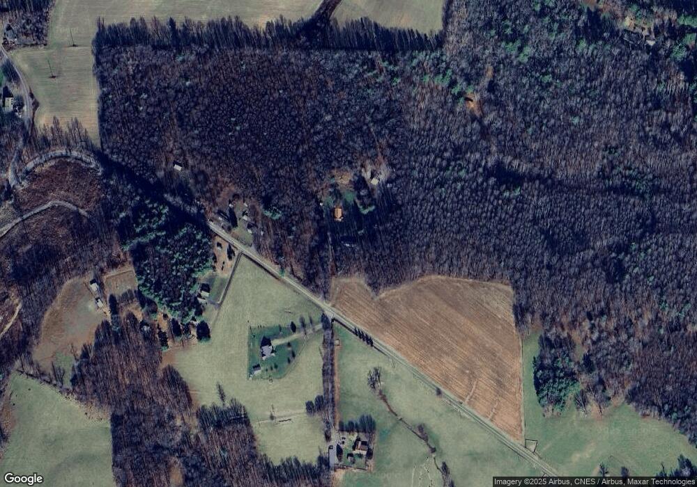
Map
Nearby Homes
- 0 Red Roof Ln
- 487 Dry Twig Rd
- TBD Keno Rd
- 4306 Keno Rd
- 1533 Groundhog Mountain Rd
- 1537 Groundhog Mountain Rd
- TBA Meadow Run Ln
- TBD Lone Oak Ct
- 19 Lone Oak Ct
- TBD Fairlake Ln
- 20 Golf Overlook Way
- UNIT G 20 Golf Overlook Way
- 1205 Stone Mountain Rd
- TBD Blue Lake Ln
- Volunteer Rd
- TBD Old Mill Ct
- 368 Chippewa Ln
- 608 Retreat Rd
- TBD Retreat Rd
- TBD Tbd Falcon Ridge
- 63 Red Roof Ln
- 3559 Keno Rd
- 48 Jonahs Knob Ln
- 3553 Keno Rd
- 3640 Keno Rd
- 3650 Keno Rd
- 136 Jonahs Knob Ln
- 561 Dry Twig Rd
- 575 Dry Twig Rd
- 2712 Worrell Memorial Rd
- 3991 Keno Rd
- 90 Pecan Hill
- 320 Pecan Hill Rd
- 320 Pecan Hill
- 90 Pecan Hill
- 2663 Worrell Memorial Rd
- 2487 Worrell Memorial Rd
- 2623 Worrell Memorial Rd
- 289 Ben Ridge Rd
- 3233 Keno Rd