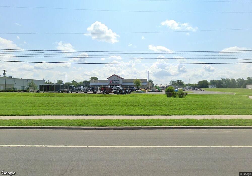
70 Route 206 Hammonton, NJ 08037
Estimated Value: $7,860,176
--
Bed
--
Bath
19,500
Sq Ft
$403/Sq Ft
Est. Value
About This Home
This home is located at 70 Route 206, Hammonton, NJ 08037 and is currently estimated at $7,860,176, approximately $403 per square foot. 70 Route 206 is a home located in Atlantic County with nearby schools including Hammonton Early Childhood Education Center, Warren E. Sooy Jr. Elementary School, and Hammonton Middle School.
Ownership History
Date
Name
Owned For
Owner Type
Purchase Details
Closed on
May 28, 2022
Sold by
Tractor Monarch Llc
Bought by
Tractor Monarch Llc and Tractor Parkers Llc
Current Estimated Value
Purchase Details
Closed on
Sep 16, 2021
Sold by
Aden Brook Holdings Ii Llc
Bought by
Tractor Monarch Llc and Tractor Parkers Llc
Purchase Details
Closed on
Mar 15, 2019
Sold by
Primax Properties Llc
Bought by
Aden Brook Holdings Ii Llc
Purchase Details
Closed on
Jul 15, 2016
Sold by
Fiocchi Samuel and Fiocchi Lirio
Bought by
Primax Properties Llc
Create a Home Valuation Report for This Property
The Home Valuation Report is an in-depth analysis detailing your home's value as well as a comparison with similar homes in the area
Home Values in the Area
Average Home Value in this Area
Purchase History
| Date | Buyer | Sale Price | Title Company |
|---|---|---|---|
| Tractor Monarch Llc | -- | -- | |
| Tractor Monarch Llc | $5,725,000 | Turnkey Title Llc | |
| Aden Brook Holdings Ii Llc | $4,661,017 | Bridgeview Abstract Inc | |
| Primax Properties Llc | $575,000 | -- |
Source: Public Records
Tax History Compared to Growth
Tax History
| Year | Tax Paid | Tax Assessment Tax Assessment Total Assessment is a certain percentage of the fair market value that is determined by local assessors to be the total taxable value of land and additions on the property. | Land | Improvement |
|---|---|---|---|---|
| 2025 | $33,189 | $1,206,000 | $328,500 | $877,500 |
| 2024 | $33,189 | $1,206,000 | $328,500 | $877,500 |
| 2023 | $32,839 | $1,206,000 | $328,500 | $877,500 |
| 2022 | $32,839 | $1,206,000 | $328,500 | $877,500 |
| 2021 | $32,960 | $1,206,000 | $328,500 | $877,500 |
| 2020 | $32,791 | $1,206,000 | $328,500 | $877,500 |
| 2019 | $32,671 | $1,206,000 | $328,500 | $877,500 |
| 2018 | $32,514 | $1,206,000 | $328,500 | $877,500 |
| 2017 | $2,440 | $91,800 | $91,000 | $800 |
| 2016 | $2,351 | $91,800 | $91,000 | $800 |
| 2015 | $2,282 | $91,800 | $91,000 | $800 |
| 2014 | $1,788 | $48,200 | $46,000 | $2,200 |
Source: Public Records
Map
Nearby Homes
- 785 Bellevue Ave
- 31 N Liberty St
- 110 Valley Ave
- 52 N Packard St
- 344 Route 206
- 425 N Packard St
- 443 Peach St
- 435 Grape St
- 415 S White Horse Pike
- 763 Central Ave
- 413 Pratt St
- 426 Bella Vita Ct
- 862 Central Ave
- 292 Chestnut St
- 362 S 3rd St
- 922 Central Ave
- 38 Pressey St
- 54 Centennial Dr
- 557 S White Horse Pike
- 918 Central Ave