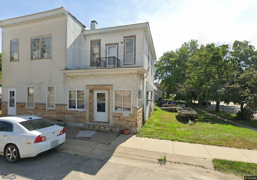
70 S 6th St Lansing, IA 52151
Estimated Value: $181,922 - $255,000
4
Beds
2
Baths
3,036
Sq Ft
$68/Sq Ft
Est. Value
About This Home
This home is located at 70 S 6th St, Lansing, IA 52151 and is currently estimated at $207,481, approximately $68 per square foot. 70 S 6th St is a home located in Allamakee County with nearby schools including New Albin Elementary School, Lansing Middle School, and Kee High School.
Ownership History
Date
Name
Owned For
Owner Type
Purchase Details
Closed on
Sep 8, 2023
Sold by
Conway Milissa M
Bought by
Conway Kevin J
Current Estimated Value
Purchase Details
Closed on
Feb 8, 2021
Sold by
Conway Ryan P
Bought by
Conway Kevin J
Purchase Details
Closed on
Dec 30, 2020
Sold by
Conway Kevin J and Conway Milissa M
Bought by
Conway Milissa M
Purchase Details
Closed on
Dec 28, 2020
Sold by
Conway Kyle J
Bought by
Conway Ryan P
Purchase Details
Closed on
Dec 18, 2020
Sold by
Conway Kevin J and Conway Milissa M
Bought by
Conway Kyle J and Conway Ryan P
Purchase Details
Closed on
Sep 12, 2007
Sold by
Estate Of Betty A Lantgen
Bought by
Conway Kevin and Conway Milissa M
Home Financials for this Owner
Home Financials are based on the most recent Mortgage that was taken out on this home.
Original Mortgage
$66,000
Interest Rate
6.71%
Mortgage Type
New Conventional
Create a Home Valuation Report for This Property
The Home Valuation Report is an in-depth analysis detailing your home's value as well as a comparison with similar homes in the area
Home Values in the Area
Average Home Value in this Area
Purchase History
| Date | Buyer | Sale Price | Title Company |
|---|---|---|---|
| Conway Kevin J | -- | None Listed On Document | |
| Conway Kevin J | -- | None Available | |
| Conway Kyle J | -- | None Available | |
| Conway Milissa M | -- | None Available | |
| Conway Ryan P | -- | None Available | |
| Conway Kyle J | -- | None Available | |
| Conway Kevin | $86,000 | None Available |
Source: Public Records
Mortgage History
| Date | Status | Borrower | Loan Amount |
|---|---|---|---|
| Previous Owner | Conway Kevin | $66,000 |
Source: Public Records
Tax History Compared to Growth
Tax History
| Year | Tax Paid | Tax Assessment Tax Assessment Total Assessment is a certain percentage of the fair market value that is determined by local assessors to be the total taxable value of land and additions on the property. | Land | Improvement |
|---|---|---|---|---|
| 2025 | $2,264 | $166,500 | $19,100 | $147,400 |
| 2024 | $2,264 | $147,700 | $11,200 | $136,500 |
| 2023 | $2,294 | $147,700 | $11,200 | $136,500 |
| 2022 | $1,894 | $105,000 | $11,200 | $93,800 |
| 2021 | $1,922 | $105,000 | $11,200 | $93,800 |
| 2020 | $1,922 | $100,600 | $11,200 | $89,400 |
| 2019 | $1,686 | $88,000 | $0 | $0 |
| 2018 | $1,652 | $88,000 | $0 | $0 |
| 2017 | $1,652 | $80,900 | $0 | $0 |
| 2016 | $1,406 | $80,900 | $0 | $0 |
| 2015 | $1,406 | $80,900 | $0 | $0 |
| 2014 | $1,288 | $79,500 | $0 | $0 |
Source: Public Records
Map
Nearby Homes
- 371 Diagonal St
- 320 Diagonal St
- 73 Shaw St
- 100 N 2nd St Unit A
- 197 Main St
- 370 Knolls St
- 1381 N 2nd St
- 1930 Hideaway Hills Ln Unit 29
- 2183 Waterview Ln
- 1906 Blue Heron Ln
- 1892 Great River Rd
- 1886 Great River Rd
- 2279 Bosco Bluff Ln
- 65567 Grand View Dr
- Lot 6 Grand View Dr
- 11215 Midway Ct
- 11345 Grand View Dr
- 3 Park Ct Unit Lot 3
- 1862 Village Creek Dr
- 0 Desoto Bluffs Dr Unit 1936123