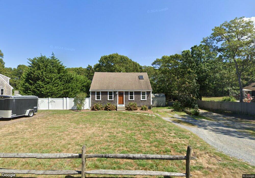
70 S Orleans Rd Brewster, MA 02631
Estimated Value: $661,393 - $698,000
3
Beds
2
Baths
1,201
Sq Ft
$563/Sq Ft
Est. Value
About This Home
This home is located at 70 S Orleans Rd, Brewster, MA 02631 and is currently estimated at $675,598, approximately $562 per square foot. 70 S Orleans Rd is a home located in Barnstable County with nearby schools including Stony Brook Elementary School, Eddy Elementary School, and Nauset Regional Middle School.
Ownership History
Date
Name
Owned For
Owner Type
Purchase Details
Closed on
Jul 23, 2004
Sold by
Reynolds Heather C
Bought by
Delude Kevin A
Current Estimated Value
Purchase Details
Closed on
Apr 20, 2000
Sold by
Chicoine Donald G
Bought by
Reynolds Robert H
Purchase Details
Closed on
May 1, 1996
Sold by
Smith Walter M
Bought by
Chicoine Donald G and Chicoine Diana L
Create a Home Valuation Report for This Property
The Home Valuation Report is an in-depth analysis detailing your home's value as well as a comparison with similar homes in the area
Home Values in the Area
Average Home Value in this Area
Purchase History
| Date | Buyer | Sale Price | Title Company |
|---|---|---|---|
| Delude Kevin A | $324,000 | -- | |
| Reynolds Robert H | $155,000 | -- | |
| Chicoine Donald G | $109,900 | -- |
Source: Public Records
Mortgage History
| Date | Status | Borrower | Loan Amount |
|---|---|---|---|
| Open | Chicoine Donald G | $15,000 | |
| Open | Chicoine Donald G | $313,000 |
Source: Public Records
Tax History Compared to Growth
Tax History
| Year | Tax Paid | Tax Assessment Tax Assessment Total Assessment is a certain percentage of the fair market value that is determined by local assessors to be the total taxable value of land and additions on the property. | Land | Improvement |
|---|---|---|---|---|
| 2025 | $3,677 | $534,400 | $191,300 | $343,100 |
| 2024 | $3,436 | $504,600 | $180,400 | $324,200 |
| 2023 | $3,057 | $437,400 | $143,200 | $294,200 |
| 2022 | $2,874 | $366,100 | $119,300 | $246,800 |
| 2021 | $2,767 | $322,500 | $103,700 | $218,800 |
| 2020 | $2,694 | $312,500 | $103,700 | $208,800 |
| 2019 | $2,713 | $316,200 | $112,200 | $204,000 |
| 2018 | $4,261 | $308,600 | $112,200 | $196,400 |
| 2017 | $2,511 | $299,300 | $112,200 | $187,100 |
| 2016 | $2,407 | $285,500 | $110,000 | $175,500 |
| 2015 | $2,226 | $269,500 | $95,900 | $173,600 |
Source: Public Records
Map
Nearby Homes
- 0 S Orleans Rd
- 36 Tar Kiln Rd
- 16 Crocker Rise Rd
- 645 S Orleans Rd
- 152 Pleasant Bay Rd
- 171 Timberlane Dr
- 0 Pine Grove Rd Unit 73445772
- 0 Pine Grove Rd Unit 22503517
- 0 Pine Grove Rd Unit 73397945
- 204 Timberlane Dr
- 532 S Orleans Rd
- 2079 Head of The Bay Rd
- 33 Rogers Rd
- 77 Towhee Ln
- 34 Lake Dr
- 13 Elm Dr
- 17 Crescent Ridge Way
- 3 Bascom Hollow
- 76 Williamsburg Ave
- 80 Massachusetts 39
- 81 S Orleans Rd
- 71 S Orleans Rd
- 156 S Orleans Rd
- 140 S Orleans Rd
- 126 S Orleans Rd
- 102 S Orleans Rd
- 80 S Orleans Rd
- 60 S Orleans Rd
- 52 S Orleans Rd
- 22 S Orleans Rd
- 8 S Orleans Rd
- 63 S Orleans Rd
- 44 S Orleans Rd
- 49 S Orleans Rd
- 93 S Orleans Rd
- 112 S Orleans Rd
- 32 S Orleans Rd
- 35 S Orleans Rd
- 146 Grist Mill Rd