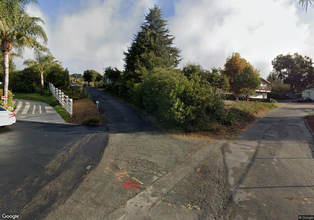
70 Thomas Rd Royal Oaks, CA 95076
Estimated Value: $759,000 - $843,749
3
Beds
1
Bath
1,741
Sq Ft
$459/Sq Ft
Est. Value
About This Home
This home is located at 70 Thomas Rd, Royal Oaks, CA 95076 and is currently estimated at $799,937, approximately $459 per square foot. 70 Thomas Rd is a home located in Monterey County with nearby schools including Hall District Elementary School, Pajaro Middle School, and Watsonville High School.
Ownership History
Date
Name
Owned For
Owner Type
Purchase Details
Closed on
Mar 24, 2003
Sold by
Oshea Joyce
Bought by
Pachal Robert
Current Estimated Value
Home Financials for this Owner
Home Financials are based on the most recent Mortgage that was taken out on this home.
Original Mortgage
$305,000
Interest Rate
5.53%
Mortgage Type
Stand Alone First
Purchase Details
Closed on
Jun 20, 1997
Sold by
Bancroft Paul and Bancroft Evon
Bought by
Oshea Joyce
Home Financials for this Owner
Home Financials are based on the most recent Mortgage that was taken out on this home.
Original Mortgage
$173,600
Interest Rate
7.91%
Purchase Details
Closed on
Nov 7, 1996
Sold by
Bancroft Paul H and Bancroft Paul
Bought by
Bancroft Paul H and Bancroft Edna Evon
Home Financials for this Owner
Home Financials are based on the most recent Mortgage that was taken out on this home.
Original Mortgage
$90,000
Interest Rate
7.58%
Mortgage Type
Construction
Create a Home Valuation Report for This Property
The Home Valuation Report is an in-depth analysis detailing your home's value as well as a comparison with similar homes in the area
Home Values in the Area
Average Home Value in this Area
Purchase History
| Date | Buyer | Sale Price | Title Company |
|---|---|---|---|
| Pachal Robert | -- | Old Republic Title | |
| Oshea Joyce | $217,000 | Chicago Title | |
| Bancroft Paul H | -- | Santa Cruz Title Company |
Source: Public Records
Mortgage History
| Date | Status | Borrower | Loan Amount |
|---|---|---|---|
| Previous Owner | Pachal Robert | $305,000 | |
| Previous Owner | Oshea Joyce | $173,600 | |
| Previous Owner | Bancroft Paul H | $90,000 |
Source: Public Records
Tax History Compared to Growth
Tax History
| Year | Tax Paid | Tax Assessment Tax Assessment Total Assessment is a certain percentage of the fair market value that is determined by local assessors to be the total taxable value of land and additions on the property. | Land | Improvement |
|---|---|---|---|---|
| 2025 | $7,298 | $615,547 | $289,669 | $325,878 |
| 2024 | $7,298 | $603,479 | $283,990 | $319,489 |
| 2023 | $6,480 | $591,647 | $278,422 | $313,225 |
| 2022 | $6,368 | $580,047 | $272,963 | $307,084 |
| 2021 | $6,266 | $568,674 | $267,611 | $301,063 |
| 2020 | $6,071 | $562,843 | $264,867 | $297,976 |
| 2019 | $5,963 | $551,808 | $259,674 | $292,134 |
| 2018 | $6,118 | $511,000 | $240,000 | $271,000 |
| 2017 | $5,761 | $472,000 | $222,000 | $250,000 |
| 2016 | $6,018 | $499,000 | $235,000 | $264,000 |
| 2015 | $5,022 | $402,000 | $189,000 | $213,000 |
| 2014 | $4,537 | $364,000 | $171,000 | $193,000 |
Source: Public Records
Map
Nearby Homes
- 43 Acres Sill Rd
- 2505 Garin Rd
- 22 Easton Rd
- 2600 Garin Rd
- 60 Fruitland Ave
- 2100 Stone Ridge Dr
- 817 Lewis Rd
- 175 Johnson Rd
- 1935 Caterina Way
- 3225 Hillman Ln
- 3230 Hillman Ln
- 101 W Front St Unit 6
- 124 Gonda St
- 138 San Miguel Canyon Rd
- 124 E Riverside Dr
- 120 San Miguel Canyon Rd
- 30 Riverside Rd
- 128 Maple Ave
- 234 Maple Ave
- 1630 W Beach St
