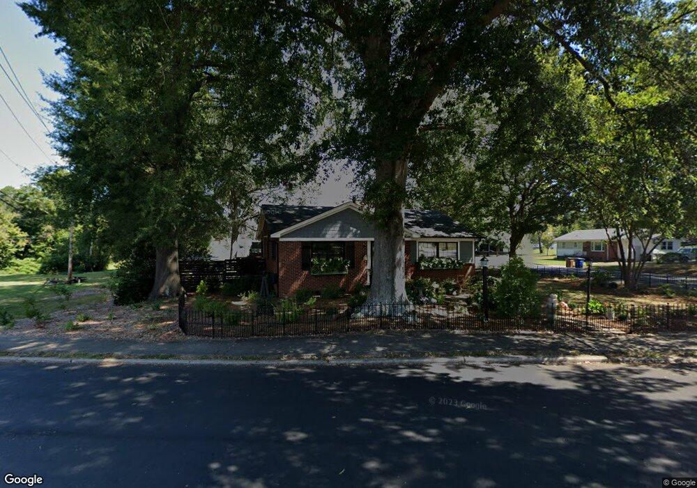
700 Battleground Rd Lincolnton, NC 28092
Estimated Value: $153,000 - $233,000
2
Beds
1
Bath
1,200
Sq Ft
$171/Sq Ft
Est. Value
About This Home
This home is located at 700 Battleground Rd, Lincolnton, NC 28092 and is currently estimated at $205,207, approximately $171 per square foot. 700 Battleground Rd is a home located in Lincoln County with nearby schools including Battleground Elementary School, Lincolnton Middle School, and Lincolnton High School.
Ownership History
Date
Name
Owned For
Owner Type
Purchase Details
Closed on
Aug 4, 2020
Sold by
Turner Darren S and Turner Connie A
Bought by
Turner Darren S and Turner Connie A
Current Estimated Value
Purchase Details
Closed on
Aug 31, 2015
Sold by
Mcginnis Shirley J and Drum Shirley D
Bought by
Turner Darren S and Turner Connie A
Home Financials for this Owner
Home Financials are based on the most recent Mortgage that was taken out on this home.
Original Mortgage
$59,500
Outstanding Balance
$47,128
Interest Rate
4.16%
Mortgage Type
New Conventional
Estimated Equity
$158,079
Create a Home Valuation Report for This Property
The Home Valuation Report is an in-depth analysis detailing your home's value as well as a comparison with similar homes in the area
Home Values in the Area
Average Home Value in this Area
Purchase History
| Date | Buyer | Sale Price | Title Company |
|---|---|---|---|
| Turner Darren S | -- | None Available | |
| Turner Darren S | $60,000 | None Available |
Source: Public Records
Mortgage History
| Date | Status | Borrower | Loan Amount |
|---|---|---|---|
| Open | Turner Darren S | $59,500 |
Source: Public Records
Tax History Compared to Growth
Tax History
| Year | Tax Paid | Tax Assessment Tax Assessment Total Assessment is a certain percentage of the fair market value that is determined by local assessors to be the total taxable value of land and additions on the property. | Land | Improvement |
|---|---|---|---|---|
| 2025 | $1,658 | $151,945 | $32,230 | $119,715 |
| 2024 | $1,638 | $151,945 | $32,230 | $119,715 |
| 2023 | $1,633 | $151,945 | $32,230 | $119,715 |
| 2022 | $1,149 | $87,701 | $21,820 | $65,881 |
| 2021 | $1,084 | $74,927 | $21,820 | $53,107 |
| 2020 | $807 | $69,607 | $16,500 | $53,107 |
| 2019 | $807 | $69,607 | $16,500 | $53,107 |
| 2018 | $879 | $0 | $0 | $50,413 |
| 2017 | $778 | $66,413 | $16,000 | $50,413 |
| 2016 | $778 | $66,413 | $16,000 | $50,413 |
| 2015 | $848 | $66,413 | $16,000 | $50,413 |
| 2014 | $856 | $66,778 | $16,900 | $49,878 |
Source: Public Records
Map
Nearby Homes
- 535 Norman Fair Ave
- 327 Bonview Ave
- 316 N Government St
- 801 N Grove St
- 502 Forney Ave
- 524 Bonview Ave
- 411 W Sycamore St
- 423 N Cedar St
- 627 W Main St
- 815 N Laurel St
- 317 S High St
- 826 E Alexander St
- 743 Lore Rd
- 668 Riverside Dr
- 329 E Congress St
- 622 E Pine St
- 834 N Flint St
- 515 S Academy St
- 528 Sherrill Ave
- 519 N State St
- 230 Westview Dr
- 608 Battleground Rd
- 703 Battleground Rd
- 231 Westview Dr
- 611 Battleground Rd
- 602 Battleground Rd
- 607 Battleground Rd
- 719 Battleground Rd
- 211 Westview Dr
- 117 Linwood Dr
- 603 Battleground Rd
- 536 Battleground Rd
- 222 Mcginnis Ave
- 5 Linwood Dr Unit 5
- 7 Linwood Dr Unit 7
- 125 Linwood Dr
- 4 Linwood Dr Unit 4
- 605 Norman Fair Ave
- 207 Westview Dr
- 121 Linwood Dr