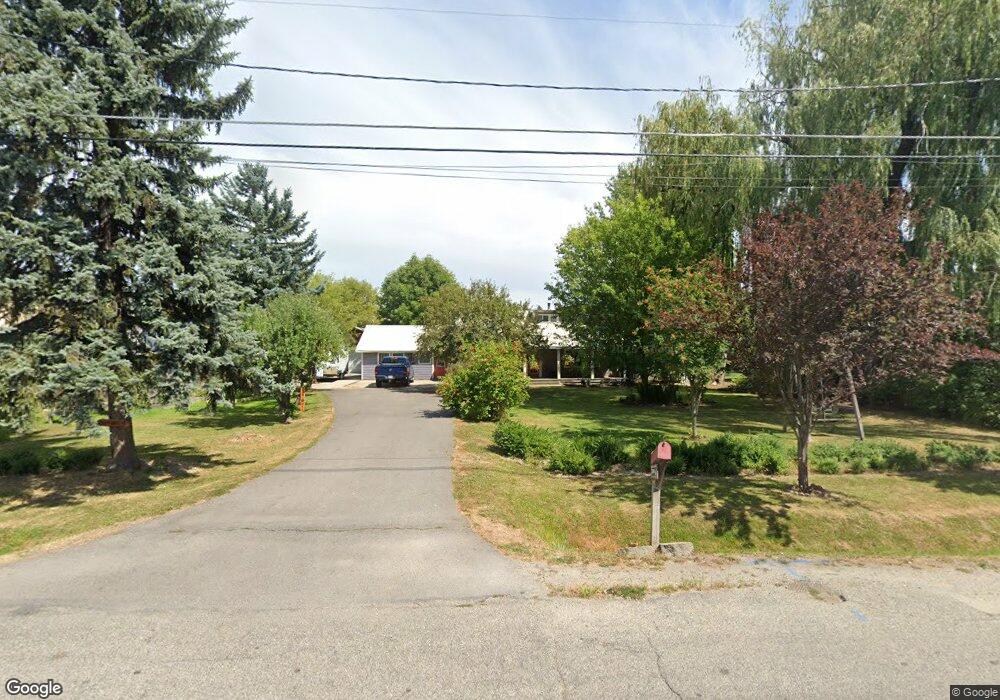
700 S Division Ave Sandpoint, ID 83864
Estimated Value: $629,000 - $909,000
3
Beds
3
Baths
2,230
Sq Ft
$329/Sq Ft
Est. Value
About This Home
This home is located at 700 S Division Ave, Sandpoint, ID 83864 and is currently estimated at $734,726, approximately $329 per square foot. 700 S Division Ave is a home located in Bonner County with nearby schools including Washington Elementary School, Sandpoint Middle School, and Sandpoint High School.
Ownership History
Date
Name
Owned For
Owner Type
Purchase Details
Closed on
Aug 27, 2012
Sold by
Pucci Deprez Gina D and Pucci Gina D
Bought by
Pucci Deprez Gina D
Current Estimated Value
Home Financials for this Owner
Home Financials are based on the most recent Mortgage that was taken out on this home.
Original Mortgage
$89,000
Interest Rate
3.49%
Mortgage Type
New Conventional
Create a Home Valuation Report for This Property
The Home Valuation Report is an in-depth analysis detailing your home's value as well as a comparison with similar homes in the area
Home Values in the Area
Average Home Value in this Area
Purchase History
| Date | Buyer | Sale Price | Title Company |
|---|---|---|---|
| Pucci Deprez Gina D | -- | None Available |
Source: Public Records
Mortgage History
| Date | Status | Borrower | Loan Amount |
|---|---|---|---|
| Closed | Pucci Deprez Gina D | $89,000 |
Source: Public Records
Tax History Compared to Growth
Tax History
| Year | Tax Paid | Tax Assessment Tax Assessment Total Assessment is a certain percentage of the fair market value that is determined by local assessors to be the total taxable value of land and additions on the property. | Land | Improvement |
|---|---|---|---|---|
| 2025 | $3,456 | $642,498 | $283,208 | $359,290 |
| 2024 | $3,674 | $654,768 | $283,208 | $371,560 |
| 2023 | $2,928 | $662,110 | $283,208 | $378,902 |
| 2022 | $3,147 | $546,664 | $200,853 | $345,811 |
| 2021 | $2,638 | $359,447 | $181,305 | $178,142 |
| 2020 | $2,232 | $299,889 | $120,158 | $179,731 |
| 2019 | $1,847 | $270,030 | $102,352 | $167,678 |
| 2018 | $1,719 | $244,795 | $95,601 | $149,194 |
| 2017 | $1,719 | $228,133 | $0 | $0 |
| 2016 | $1,408 | $193,655 | $0 | $0 |
| 2015 | $1,521 | $196,455 | $0 | $0 |
| 2014 | $1,575 | $196,455 | $0 | $0 |
Source: Public Records
Map
Nearby Homes
- 1405 Autumn Ln
- 702 S Merton Ave
- 704 S Merton Ave
- 1410 J r Ct
- 1406 J r Ct
- 1721 Northshore Dr
- 424 S Olive Ave Unit 103
- 424 S Olive Ave
- 424 S Olive Ave Unit 203
- 424 S Olive Ave Unit 303
- 1020 Park Ave
- 1515 Northshore Dr
- 1309 Westwood Ln
- 411 S Olive Ave Unit 1
- 439 S Marion Ave
- 531 S Lavina Ave
- 327 S Olive Ave Unit J
- 327 S Olive Ave Unit J
- 436 S Lavina Ave
- 135 Madera Dr
- 703 S Division Ave
- 625 S Division Ave
- 1320 Vineyard
- 1248 Birch St
- 1316 Rosedale Way
- 1240 Birch St
- 1402 Autumn Ln
- 1406 Autumn Ln
- 621 S Division Ave
- 1314 Rosedale Way
- 620 S Division Ave
- 1410 Autumn Ln
- 1231 Birch St
- 1401 Autumn Ln
- 1316 Vineyard
- 1234 Birch St
- 607 S Division Ave
- 1404 Daisy St
- 1409 Autumn Ln
- 1314 Vineyard