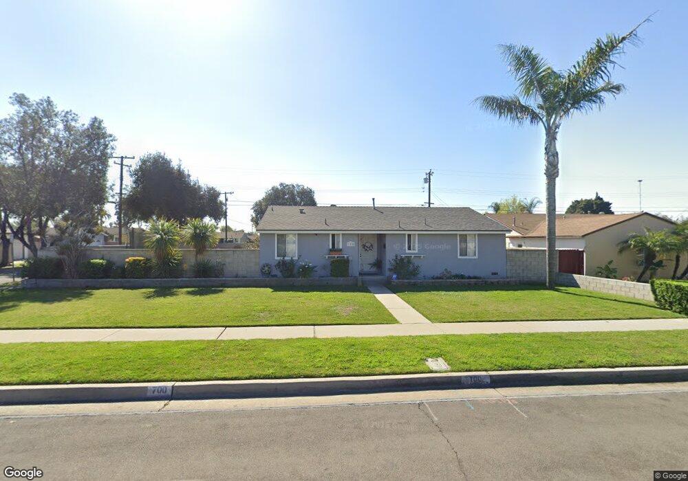
700 W Roberta Ave Fullerton, CA 92832
Estimated Value: $859,000 - $904,000
3
Beds
2
Baths
1,429
Sq Ft
$614/Sq Ft
Est. Value
About This Home
This home is located at 700 W Roberta Ave, Fullerton, CA 92832 and is currently estimated at $877,664, approximately $614 per square foot. 700 W Roberta Ave is a home located in Orange County with nearby schools including Woodcrest Elementary School, Nicolas Junior High School, and Fullerton Union High School.
Ownership History
Date
Name
Owned For
Owner Type
Purchase Details
Closed on
Jun 6, 2023
Sold by
Walbring Joni Christine
Bought by
Joni Walbring Revocable Trust and Walbring
Current Estimated Value
Purchase Details
Closed on
Sep 21, 1999
Sold by
Kevin Paschal Matthew and Kevin Christine Joni
Bought by
Paschal Joni Christine
Home Financials for this Owner
Home Financials are based on the most recent Mortgage that was taken out on this home.
Original Mortgage
$164,223
Interest Rate
7.97%
Mortgage Type
FHA
Create a Home Valuation Report for This Property
The Home Valuation Report is an in-depth analysis detailing your home's value as well as a comparison with similar homes in the area
Purchase History
| Date | Buyer | Sale Price | Title Company |
|---|---|---|---|
| Joni Walbring Revocable Trust | -- | None Listed On Document | |
| Paschal Joni Christine | -- | Lawyers Title Company |
Source: Public Records
Mortgage History
| Date | Status | Borrower | Loan Amount |
|---|---|---|---|
| Previous Owner | Paschal Joni Christine | $164,223 |
Source: Public Records
Tax History
| Year | Tax Paid | Tax Assessment Tax Assessment Total Assessment is a certain percentage of the fair market value that is determined by local assessors to be the total taxable value of land and additions on the property. | Land | Improvement |
|---|---|---|---|---|
| 2025 | $3,994 | $344,471 | $238,535 | $105,936 |
| 2024 | $3,994 | $337,717 | $233,858 | $103,859 |
| 2023 | $3,897 | $331,096 | $229,273 | $101,823 |
| 2022 | $3,868 | $324,604 | $224,777 | $99,827 |
| 2021 | $3,802 | $318,240 | $220,370 | $97,870 |
| 2020 | $3,780 | $314,977 | $218,110 | $96,867 |
| 2019 | $3,686 | $308,801 | $213,833 | $94,968 |
| 2018 | $3,631 | $302,747 | $209,641 | $93,106 |
| 2017 | $3,571 | $296,811 | $205,530 | $91,281 |
| 2016 | $3,499 | $290,992 | $201,500 | $89,492 |
| 2015 | $3,403 | $286,622 | $198,474 | $88,148 |
| 2014 | $3,306 | $281,008 | $194,586 | $86,422 |
Source: Public Records
Map
Nearby Homes
- 618 W Orangethorpe Ave
- 1021 Mandarin Place
- 1507 S Citrus Ave
- 1041 Lime Tree Place
- 1370 Clementine Way
- 1105 N Dresden St Unit 52
- 506 W Rosslynn Ave
- 1152 N West St Unit 23
- 306 W Porter Ave
- 1312 W Orangethorpe Ave
- 1173 N Mayfair Ave
- 1804 W Glen Ave
- 1412 W Baker Ave
- 1124 N Mayfair Ave
- 517 S Richman Ave
- 632 W Romneya Viaduct
- 1919 W Coronet Ave Unit 75
- 1919 W Coronet Ave
- 1919 W Coronet Ave Unit 153
- 1919 W Coronet Ave Unit 126
- 706 W Roberta Ave
- 701 W Maxzim Ave
- 712 W Roberta Ave
- 672 W Roberta Ave
- 707 W Maxzim Ave
- 673 W Maxzim Ave
- 707 W Roberta Ave
- 713 W Roberta Ave
- 701 W Roberta Ave
- 713 W Maxzim Ave
- 718 W Roberta Ave
- 668 W Roberta Ave
- 667 W Maxzim Ave
- 719 W Maxzim Ave
- 667 W Roberta Ave
- 725 W Roberta Ave
- 724 W Roberta Ave
- 660 W Roberta Ave
- 712 W Baker Ave
- 661 W Maxzim Ave
Your Personal Tour Guide
Ask me questions while you tour the home.