Estimated Value: $404,978 - $454,000
3
Beds
2
Baths
2,005
Sq Ft
$216/Sq Ft
Est. Value
About This Home
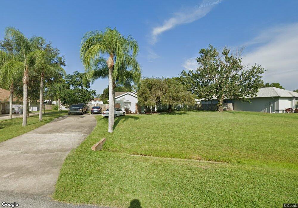
This home is located at 7005 Hundred Acre Dr, Cocoa, FL 32927 and is currently estimated at $432,995, approximately $215 per square foot. 7005 Hundred Acre Dr is a home located in Brevard County with nearby schools including Enterprise Elementary School, Space Coast Junior/Senior High School, and East Atlantic Prep of Brevard County.
Ownership History
Date
Name
Owned For
Owner Type
Purchase Details
Closed on
Jun 22, 2007
Sold by
Argudin Frances Darlene and Epperson Frances D
Bought by
Epperson Frances D and Epperson Robert
Current Estimated Value
Home Financials for this Owner
Home Financials are based on the most recent Mortgage that was taken out on this home.
Original Mortgage
$123,000
Outstanding Balance
$75,994
Interest Rate
6.37%
Estimated Equity
$357,001
Purchase Details
Closed on
Jan 11, 2000
Sold by
Argudin Celestino Joseph
Bought by
Argudin Frances Darlene
Create a Home Valuation Report for This Property
The Home Valuation Report is an in-depth analysis detailing your home's value as well as a comparison with similar homes in the area
Home Values in the Area
Average Home Value in this Area
Purchase History
| Date | Buyer | Sale Price | Title Company |
|---|---|---|---|
| Epperson Frances D | $43,100 | Service Link | |
| Argudin Frances Darlene | -- | -- |
Source: Public Records
Mortgage History
| Date | Status | Borrower | Loan Amount |
|---|---|---|---|
| Open | Epperson Frances D | $123,000 |
Source: Public Records
Tax History Compared to Growth
Tax History
| Year | Tax Paid | Tax Assessment Tax Assessment Total Assessment is a certain percentage of the fair market value that is determined by local assessors to be the total taxable value of land and additions on the property. | Land | Improvement |
|---|---|---|---|---|
| 2025 | $2,014 | $148,140 | -- | -- |
| 2024 | $1,972 | $143,970 | -- | -- |
| 2023 | $1,972 | $139,780 | $0 | $0 |
| 2022 | $1,845 | $135,710 | $0 | $0 |
| 2021 | $1,862 | $131,760 | $0 | $0 |
| 2020 | $1,791 | $129,950 | $0 | $0 |
| 2019 | $1,731 | $127,030 | $0 | $0 |
| 2018 | $1,728 | $124,670 | $0 | $0 |
| 2017 | $1,731 | $122,110 | $0 | $0 |
| 2016 | $1,744 | $119,600 | $32,000 | $87,600 |
| 2015 | $1,780 | $118,770 | $32,000 | $86,770 |
| 2014 | $1,786 | $117,830 | $32,000 | $85,830 |
Source: Public Records
Map
Nearby Homes
- 7065 Hundred Acre Dr
- 6760 Cairo Rd
- 6775 Buxton Ave
- 5155 Mayflower St
- 6615 Dock Ave
- 5130 Carter St
- 5165 Patricia St
- 7230 Venus Ave
- 6581 Bancroft Ave
- 5575 Curtis Blvd
- 00 Unknown
- 5200 Frisco St
- 7635 Fringe Place
- 7155 Export Ave
- 6620 Grissom Pkwy
- 6735 Grissom Pkwy
- TBD Freeport Rd
- 4650 N Highway 1 Hwy
- 5170 Everett St
- 7545 Fringe Place
- 6861 Sweet Bay Ct
- 7015 Hundred Acre Dr
- 6859 Sweet Bay Ct
- 6870 Cedar Ave
- 6880 Cedar Ave
- 7025 Hundred Acre Dr
- 7010 Hundred Acre Dr
- 6890 Cedar Ave
- 6857 Sweet Bay Ct
- 6860 Sweet Bay Ct
- 7030 Hundred Acre Dr
- 6840 Cedar Ave
- 7035 Hundred Acre Dr
- 6855 Sweet Bay Ct
- 6820 Cedar Ave
- 7000 Hundred Acre Dr
- 6910 Kaylor Ave
- 7040 Hundred Acre Dr
- 6856 Sweet Bay Ct
- 6875 W Cedar