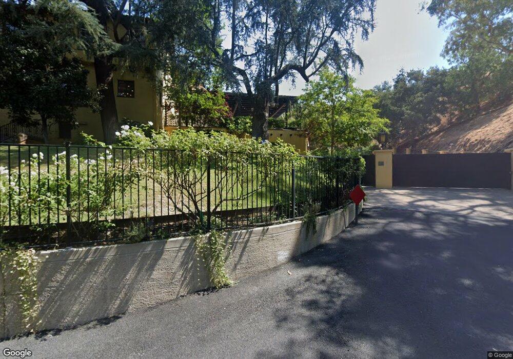
701 1/2 Wilson Ct Burbank, CA 91501
Hillside District NeighborhoodEstimated Value: $752,000 - $1,344,000
1
Bed
1
Bath
660
Sq Ft
$1,534/Sq Ft
Est. Value
About This Home
This home is located at 701 1/2 Wilson Ct, Burbank, CA 91501 and is currently estimated at $1,012,713, approximately $1,534 per square foot. 701 1/2 Wilson Ct is a home located in Los Angeles County with nearby schools including Joaquin Miller Elementary School, John Muir Middle School, and Burbank High School.
Ownership History
Date
Name
Owned For
Owner Type
Purchase Details
Closed on
Oct 21, 2004
Sold by
Baker Carolyn R and Carolyn R Baker 2002 Trust
Bought by
Taylor Kelvin and Taylor Jennifer
Current Estimated Value
Home Financials for this Owner
Home Financials are based on the most recent Mortgage that was taken out on this home.
Original Mortgage
$225,000
Outstanding Balance
$110,908
Interest Rate
5.7%
Mortgage Type
Purchase Money Mortgage
Estimated Equity
$901,805
Purchase Details
Closed on
Oct 29, 2002
Sold by
Baker Carolyn R
Bought by
Baker Carolyn R and Baker George A
Purchase Details
Closed on
Dec 4, 1996
Sold by
Trust Baker George A And Gertrude C 1991 and Baker Bernard W
Bought by
Baker Carolyn R
Create a Home Valuation Report for This Property
The Home Valuation Report is an in-depth analysis detailing your home's value as well as a comparison with similar homes in the area
Home Values in the Area
Average Home Value in this Area
Purchase History
We collect this data history from publicly available records. To have your information removed, we recommend requesting removal directly through your county’s website.
| Date | Buyer | Sale Price | Title Company |
|---|---|---|---|
| Taylor Kelvin | $300,000 | First American Title Company | |
| Baker Carolyn R | -- | -- | |
| Baker Carolyn R | -- | -- | |
| Baker Carolyn R | -- | -- | |
| Baker Carolyn R | -- | -- | |
| Baker Carolyn R | -- | -- |
Source: Public Records
Mortgage History
We collect this data history from publicly available records. To have your information removed, we recommend requesting removal directly through your county’s website.
| Date | Status | Borrower | Loan Amount |
|---|---|---|---|
| Open | Taylor Kelvin | $225,000 |
Source: Public Records
Tax History
| Year | Tax Paid | Tax Assessment Tax Assessment Total Assessment is a certain percentage of the fair market value that is determined by local assessors to be the total taxable value of land and additions on the property. | Land | Improvement |
|---|---|---|---|---|
| 2025 | $4,824 | $418,159 | $404,230 | $13,929 |
| 2024 | $4,660 | $409,960 | $396,304 | $13,656 |
| 2023 | $4,611 | $401,923 | $388,534 | $13,389 |
| 2022 | $4,401 | $394,043 | $380,916 | $13,127 |
| 2021 | $4,385 | $386,318 | $373,448 | $12,870 |
| 2019 | $4,209 | $374,862 | $362,372 | $12,490 |
| 2018 | $4,181 | $367,513 | $355,267 | $12,246 |
| 2016 | $3,975 | $353,243 | $341,472 | $11,771 |
| 2015 | $3,945 | $347,938 | $336,343 | $11,595 |
| 2014 | $3,895 | $341,123 | $329,755 | $11,368 |
Source: Public Records
Map
Nearby Homes
- 828 S Sunset Canyon Dr
- 941 Sherlock Dr
- 1248 E Tujunga Ave
- 1071 E Providencia Ave
- 1001 Via Alta
- 1135 E Verdugo Ave
- 1023 E Elmwood Ave
- 1981 Rangeview Dr
- 515 S Via Montana
- 12 Skyline Dr
- 921 E Elmwood Ave
- 100 Country Club Dr
- 1334 Alameda Ave
- 211 S Bel Aire Dr
- 706 S Kenneth Rd
- 820 S Kenneth Rd
- 0 Country Club Dr Unit SB24168055
- 1316 Spazier Ave
- 1735 Foothill Dr
- 660 Country Club Dr
- 701 Wilson Ct
- 1205 E Elmwood Ave
- 1203 E Elmwood Ave
- 711 Wilson Ct
- 722 Wilson Ct
- 1207 E Elmwood Ave
- 0 Wilson Ct
- 0 Wilson Ct
- 715 Wilson Ct
- 1270 E Providencia Ave
- 1151 E Elmwood Ave
- 1161 E Elmwood Ave
- 1209 E Elmwood Ave
- 1261 E Elmwood Ave
- 1253 E Elmwood Ave
- 1249 E Elmwood Ave
- 1235 E Elmwood Ave
- 1229 E Elmwood Ave
- 1221 E Elmwood Ave
- 1241 E Elmwood Ave
Your Personal Tour Guide
Ask me questions while you tour the home.