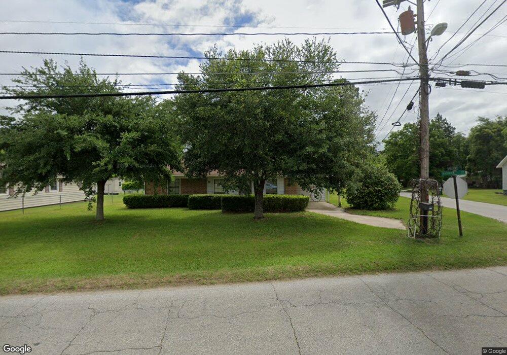
701 Barwick Rd Quitman, GA 31643
Estimated Value: $81,889 - $160,000
Studio
1
Bath
960
Sq Ft
$133/Sq Ft
Est. Value
About This Home
This home is located at 701 Barwick Rd, Quitman, GA 31643 and is currently estimated at $127,222, approximately $132 per square foot. 701 Barwick Rd is a home located in Brooks County with nearby schools including Quitman Elementary School and First Baptist Church Preschool & Kindergarten.
Ownership History
Date
Name
Owned For
Owner Type
Purchase Details
Closed on
Dec 21, 2005
Sold by
Chism Clyde Wesley
Bought by
Chism Gary Wayne
Current Estimated Value
Purchase Details
Closed on
Jul 14, 1997
Sold by
Chism Clyde W and Chism Dorothy K
Bought by
Chism Clyde Wesley and Gary Wayne
Purchase Details
Closed on
Jan 4, 1991
Sold by
Chism Dorothy K
Bought by
Chism Clyde W and Chism Dorothy K
Purchase Details
Closed on
Jul 31, 1989
Sold by
Chism Clyde W
Bought by
Chism Dorothy K
Create a Home Valuation Report for This Property
The Home Valuation Report is an in-depth analysis detailing your home's value as well as a comparison with similar homes in the area
Home Values in the Area
Average Home Value in this Area
Purchase History
| Date | Buyer | Sale Price | Title Company |
|---|---|---|---|
| Chism Gary Wayne | $17,500 | -- | |
| Chism Clyde Wesley | -- | -- | |
| Chism Clyde W | -- | -- | |
| Chism Dorothy K | -- | -- |
Source: Public Records
Tax History Compared to Growth
Tax History
| Year | Tax Paid | Tax Assessment Tax Assessment Total Assessment is a certain percentage of the fair market value that is determined by local assessors to be the total taxable value of land and additions on the property. | Land | Improvement |
|---|---|---|---|---|
| 2025 | $742 | $24,336 | $1,920 | $22,416 |
| 2024 | $742 | $24,336 | $1,920 | $22,416 |
| 2023 | $101 | $22,736 | $1,920 | $20,816 |
| 2022 | $556 | $17,416 | $1,880 | $15,536 |
| 2021 | $480 | $15,016 | $1,880 | $13,136 |
| 2020 | $529 | $15,016 | $1,880 | $13,136 |
| 2019 | $383 | $14,576 | $2,520 | $12,056 |
| 2018 | $539 | $14,816 | $2,520 | $12,296 |
| 2017 | $380 | $14,296 | $2,680 | $11,616 |
| 2016 | $376 | $14,296 | $2,680 | $11,616 |
| 2015 | -- | $16,336 | $2,680 | $13,656 |
| 2014 | -- | $16,816 | $2,680 | $14,136 |
| 2013 | -- | $16,816 | $2,680 | $14,136 |
Source: Public Records
Map
Nearby Homes
- 602 N Webster St
- 304 W Rountree St
- 606 N Court St
- 1002 N Madison St
- 621 N Court St
- 2434 Dunn Rd
- 309 Eastlake Dr
- Lot 14 Dawn Ln
- 0 Hamlin McKinnon Rd Unit 926343
- 804 Westlake Dr
- 506 Oglesby St
- 103 Victorian Way
- 0 W Swamp St
- 714 Morris Ave
- 1306 E Screven St
- 84 W Us
- 1540 Dunn Rd
- 0 Madison Hwy Unit 147194
- 7747 Empress Rd
- 237 Turkey Ridge Ln
- 1006 Roundtree St
- 639 Barwick Rd
- 909 Mitchell Ave
- 1004 Roundtree St
- 707 Barwick Rd
- 703 Barwick Rd
- 1005 Roundtree St
- 907 Mitchell Ave
- 910 Mitchell Ave
- 906 Mitchell Ave
- 908 Mitchell Ave
- 627 Barwick Rd
- 709 Barwick Rd
- 912 Mitchell Ave
- 700A N Barnes St
- 700 N Barnes St
- 905 Mitchell Ave
- 618 N Barnes St
- 624 Barwick Rd
- 1003 Roundtree St