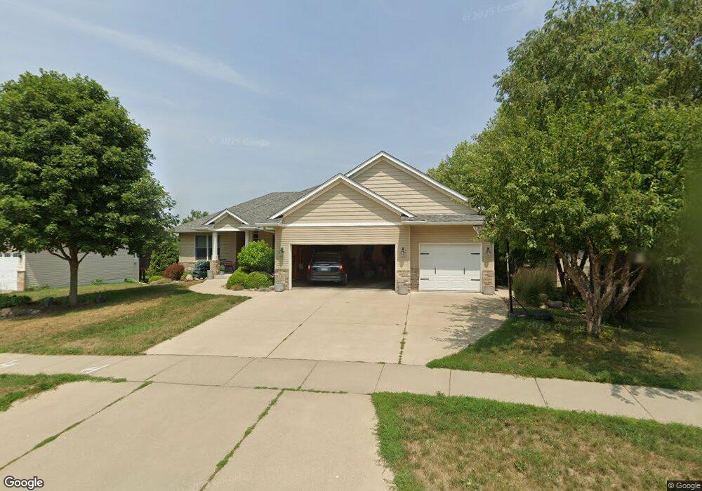
701 Carter Dr Northfield, MN 55057
Estimated Value: $556,000 - $599,209
5
Beds
3
Baths
1,885
Sq Ft
$309/Sq Ft
Est. Value
About This Home
This home is located at 701 Carter Dr, Northfield, MN 55057 and is currently estimated at $582,302, approximately $308 per square foot. 701 Carter Dr is a home located in Rice County with nearby schools including Bridgewater Elementary School, Northfield Middle School, and Northfield Senior High School.
Ownership History
Date
Name
Owned For
Owner Type
Purchase Details
Closed on
Sep 19, 2017
Sold by
Claeson Louis W and Claeson Lois H
Bought by
Yahnke Tyler E and Yahnke Kristin L
Current Estimated Value
Home Financials for this Owner
Home Financials are based on the most recent Mortgage that was taken out on this home.
Original Mortgage
$320,300
Outstanding Balance
$267,473
Interest Rate
3.9%
Mortgage Type
New Conventional
Estimated Equity
$314,829
Purchase Details
Closed on
May 15, 2008
Sold by
Jasnoch Eugene E and Jasnoch Sharon M
Bought by
Heers Corp
Create a Home Valuation Report for This Property
The Home Valuation Report is an in-depth analysis detailing your home's value as well as a comparison with similar homes in the area
Home Values in the Area
Average Home Value in this Area
Purchase History
| Date | Buyer | Sale Price | Title Company |
|---|---|---|---|
| Yahnke Tyler E | $370,000 | Trademark Title Services Inc | |
| Heers Corp | $79,200 | -- |
Source: Public Records
Mortgage History
| Date | Status | Borrower | Loan Amount |
|---|---|---|---|
| Open | Yahnke Tyler E | $320,300 |
Source: Public Records
Tax History Compared to Growth
Tax History
| Year | Tax Paid | Tax Assessment Tax Assessment Total Assessment is a certain percentage of the fair market value that is determined by local assessors to be the total taxable value of land and additions on the property. | Land | Improvement |
|---|---|---|---|---|
| 2025 | $10,050 | $566,700 | $83,400 | $483,300 |
| 2024 | $10,050 | $522,200 | $77,600 | $444,600 |
| 2023 | $7,762 | $522,200 | $77,600 | $444,600 |
| 2022 | $7,160 | $480,700 | $75,700 | $405,000 |
| 2021 | $6,908 | $429,300 | $69,800 | $359,500 |
| 2020 | $6,864 | $408,200 | $69,800 | $338,400 |
| 2019 | $6,348 | $397,600 | $69,800 | $327,800 |
| 2018 | $5,826 | $364,800 | $69,800 | $295,000 |
| 2017 | $5,268 | $330,700 | $67,900 | $262,800 |
| 2016 | $5,060 | $324,900 | $67,900 | $257,000 |
| 2015 | $4,866 | $298,700 | $67,900 | $230,800 |
| 2014 | -- | $289,800 | $67,900 | $221,900 |
Source: Public Records
Map
Nearby Homes
- 2116 Park Pointe Dr
- 709 Carter Dr
- 2200 Greenfield Dr W
- 2206 Grant Ct
- 2220 Greenfield Dr E
- 1819 Truman Ct
- 1741 Roosevelt Dr
- 1707 Jackson Ct
- 2004 Lincoln St S
- XXXX Division St S
- 1513 Senate Ln
- 1301 Presidential Dr
- 1603 Washington St
- 2704 Oak Lawn Dr
- 2708 Oak Lawn Dr
- 2620 Oak Lawn Dr
- 318 Ford St E
- 402 Ford St E
- 421 Ford St E
- 406 Ford St E
- 705 Carter Dr
- 2112 Park Pointe Dr
- 2108 Park Pointe Dr
- 2104 Park Pointe Dr
- 2200 Carter Ct
- 700 Carter Dr
- 704 Carter Dr
- 2100 Park Pointe Dr
- 2204 Carter Ct
- 2115 Park Pointe Dr
- 713 Carter Dr
- 2119 Park Pointe Dr
- 708 Carter Dr
- 2111 Park Pointe Dr
- 2016 Park Pointe Ct
- 702 Pointe Ln
- 2208 Carter Ct
- 2107 Park Pointe Dr
- 2201 Carter Ct
- 2012 Park Pointe Ct