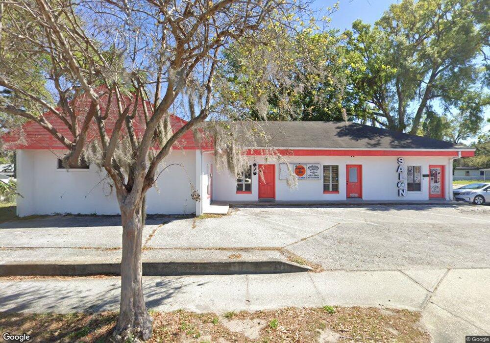
701 N Parsons Ave Unit A Brandon, FL 33510
Estimated Value: $347,276
--
Bed
--
Bath
500
Sq Ft
$695/Sq Ft
Est. Value
About This Home
This home is located at 701 N Parsons Ave Unit A, Brandon, FL 33510 and is currently estimated at $347,276, approximately $694 per square foot. 701 N Parsons Ave Unit A is a home located in Hillsborough County with nearby schools including Yates Elementary School, Mann Middle School, and Brandon High School.
Ownership History
Date
Name
Owned For
Owner Type
Purchase Details
Closed on
Jan 13, 2025
Sold by
Curry Family Revocable Trust and Curry Derrell Ray
Bought by
White Kathleen Curry and Curry Miranda
Current Estimated Value
Purchase Details
Closed on
Oct 26, 2023
Sold by
Curry Derrell R
Bought by
Curry Family Revocable Trust and Curry
Purchase Details
Closed on
Feb 26, 2021
Sold by
701 N Parsons Ave Land Trust
Bought by
Curry Derrell R
Purchase Details
Closed on
Oct 27, 2006
Sold by
Abate Nelson and Abate Kathleen M
Bought by
Abate Nelson
Create a Home Valuation Report for This Property
The Home Valuation Report is an in-depth analysis detailing your home's value as well as a comparison with similar homes in the area
Home Values in the Area
Average Home Value in this Area
Purchase History
| Date | Buyer | Sale Price | Title Company |
|---|---|---|---|
| White Kathleen Curry | -- | None Listed On Document | |
| White Kathleen Curry | -- | None Listed On Document | |
| Curry Family Revocable Trust | -- | -- | |
| Curry Derrell R | $240,000 | Advantage Title | |
| 701 N Parsons Ave Land Trust | $100,000 | Advantage Title | |
| Abate Nelson | -- | Attorney |
Source: Public Records
Tax History Compared to Growth
Tax History
| Year | Tax Paid | Tax Assessment Tax Assessment Total Assessment is a certain percentage of the fair market value that is determined by local assessors to be the total taxable value of land and additions on the property. | Land | Improvement |
|---|---|---|---|---|
| 2024 | $4,525 | $258,600 | $73,538 | $185,062 |
| 2023 | $4,122 | $232,500 | $66,852 | $165,648 |
| 2022 | $3,763 | $209,200 | $56,568 | $152,632 |
| 2021 | $4,725 | $258,600 | $48,854 | $209,746 |
| 2020 | $4,760 | $258,600 | $43,197 | $215,403 |
| 2019 | $4,503 | $241,912 | $39,083 | $202,829 |
| 2018 | $4,294 | $225,042 | $0 | $0 |
| 2017 | $4,076 | $211,761 | $0 | $0 |
| 2016 | $3,988 | $204,273 | $0 | $0 |
| 2015 | $3,908 | $195,401 | $0 | $0 |
| 2014 | $3,780 | $191,080 | $0 | $0 |
| 2013 | -- | $188,697 | $0 | $0 |
Source: Public Records
Map
Nearby Homes
- 102 Inwood Cir
- 912 N Parsons Ave Unit A
- 320 Pheasant Cir
- 408 Brenda Dr
- 504 Hedge Row Rd
- 310 Oak Ave
- 122 Emily Ln
- 925 Skyview Dr
- 653 Timber Pond Dr
- 408 Blueberry Ln
- 306 N Moon Ave
- 603 Beverly Dr
- 239 Red Maple Place
- 108 E Morgan St
- 310 Terrace Dr
- 209 Berry Tree Place
- 230 Thorn Tree Place Unit 230
- 226 Thorn Tree Place Unit 226
- 224 Red Maple Place
- 237 Thorn Tree Place
- 701 N Parsons Ave
- 701 N Parsons Ave Unit B
- 705 N Parsons Ave
- 104 New Hope Rd
- 103 Larson Ave
- 616 N Parsons Ave
- 621 N Parsons Ave
- 106 New Hope Rd
- 105 Larson Ave
- 105 New Hope Rd
- 105 Mobile Place
- 104 Mobile Place
- 708 N Parsons Ave
- 110 New Hope Rd
- 107 Mobile Place
- 108 Mobile Place
- 107 New Hope Rd
- 107 Larson Ave
- 710 N Parsons Ave
- 109 Mobile Place