701 New Hampton Rd Sanbornton, NH 03269
Sanbornton NeighborhoodEstimated Value: $503,000 - $701,000
3
Beds
2
Baths
2,466
Sq Ft
$234/Sq Ft
Est. Value
About This Home
This home is located at 701 New Hampton Rd, Sanbornton, NH 03269 and is currently estimated at $577,125, approximately $234 per square foot. 701 New Hampton Rd is a home located in Belknap County with nearby schools including Southwick School, Winnisquam Regional Middle School, and Winnisquam Regional High School.
Ownership History
Date
Name
Owned For
Owner Type
Purchase Details
Closed on
Mar 4, 2016
Sold by
Anderson Melissa B and Gallagher Sally N
Bought by
Bear Ret
Current Estimated Value
Create a Home Valuation Report for This Property
The Home Valuation Report is an in-depth analysis detailing your home's value as well as a comparison with similar homes in the area
Home Values in the Area
Average Home Value in this Area
Purchase History
| Date | Buyer | Sale Price | Title Company |
|---|---|---|---|
| Bear Ret | -- | -- | |
| Anderson Melissa B | -- | -- |
Source: Public Records
Tax History Compared to Growth
Tax History
| Year | Tax Paid | Tax Assessment Tax Assessment Total Assessment is a certain percentage of the fair market value that is determined by local assessors to be the total taxable value of land and additions on the property. | Land | Improvement |
|---|---|---|---|---|
| 2024 | $4,917 | $383,817 | $173,917 | $209,900 |
| 2023 | $4,622 | $383,866 | $173,966 | $209,900 |
| 2022 | $4,440 | $223,466 | $94,966 | $128,500 |
| 2021 | $4,104 | $223,313 | $94,813 | $128,500 |
| 2020 | $4,508 | $223,396 | $94,896 | $128,500 |
| 2019 | $4,294 | $223,396 | $94,896 | $128,500 |
| 2018 | $5,143 | $266,188 | $94,888 | $171,300 |
| 2017 | $4,162 | $176,111 | $51,811 | $124,300 |
| 2016 | $4,162 | $176,111 | $51,811 | $124,300 |
| 2015 | $4,228 | $176,101 | $51,801 | $124,300 |
| 2014 | $4,045 | $176,101 | $51,801 | $124,300 |
| 2013 | $4,052 | $176,403 | $52,103 | $124,300 |
Source: Public Records
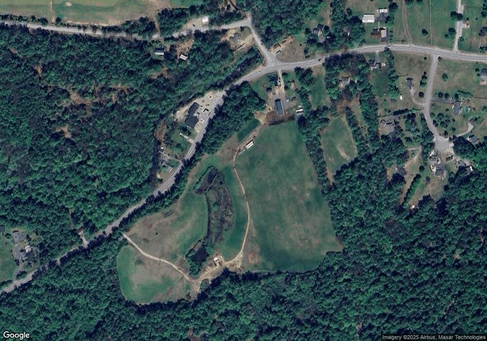
Map
Nearby Homes
- 0 Perley Hill Rd Unit 85
- 724 Sanborn Rd
- 693 Hill Rd
- 104 New Hampton Rd
- 0 Gulf Rd Unit 33 5061892
- 251 Hill Rd
- 21 Mountain View Dr
- 0 Mountain Rd Unit 5064513
- 8 Smiling Hill Rd
- 225 Kendall St
- 208 Sanborn St
- Lot 4 Piper St
- 28 Pine Colony Rd
- 314 Stage Rd
- 180 Kendall St
- 319 Victory Dr
- 00 Finch and Kidder Ave
- 12 Foothills Way
- 0 Rowell Dr Unit 406 5043422
- 69 Lake Ave
- 711 New Hampton Rd
- 698 New Hampton Rd
- 710 New Hampton Rd
- 11 Meadows Dr
- 13 Meadows Dr
- 00 New Hampton Rd
- 19 Meadows Dr
- 10 Meadows Dr
- 587 New Hampton Rd
- 587 New Hampton Rd
- 23 Meadows Dr
- 4 Prescott Rd
- 737 New Hampton Rd
- 22 Meadows Dr
- 666 New Hampton Rd
- 740 New Hampton Rd
- 24 Meadows Dr
- 23 Prescott Rd
- 14 Prescott Rd
- 15 Pound Rd