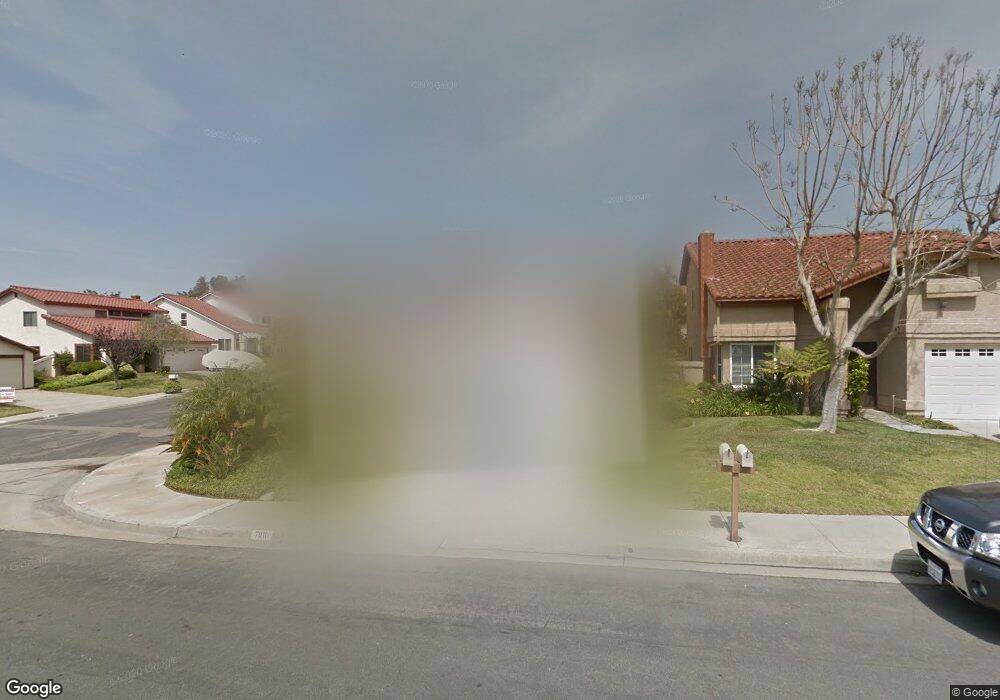
7010 Snapdragon Dr Unit 1 Carlsbad, CA 92011
Poinsettia NeighborhoodEstimated Value: $1,119,305 - $1,381,000
3
Beds
2
Baths
1,289
Sq Ft
$973/Sq Ft
Est. Value
About This Home
This home is located at 7010 Snapdragon Dr Unit 1, Carlsbad, CA 92011 and is currently estimated at $1,253,826, approximately $972 per square foot. 7010 Snapdragon Dr Unit 1 is a home located in San Diego County with nearby schools including Aviara Oaks Elementary, Aviara Oaks Middle, and Carlsbad High School.
Ownership History
Date
Name
Owned For
Owner Type
Purchase Details
Closed on
Sep 19, 2003
Sold by
Barretto John A and Barretto Gloria
Bought by
Morgan Arline J
Current Estimated Value
Purchase Details
Closed on
Dec 31, 1984
Create a Home Valuation Report for This Property
The Home Valuation Report is an in-depth analysis detailing your home's value as well as a comparison with similar homes in the area
Home Values in the Area
Average Home Value in this Area
Purchase History
| Date | Buyer | Sale Price | Title Company |
|---|---|---|---|
| Morgan Arline J | $450,000 | California Title Company | |
| -- | $130,000 | -- |
Source: Public Records
Tax History Compared to Growth
Tax History
| Year | Tax Paid | Tax Assessment Tax Assessment Total Assessment is a certain percentage of the fair market value that is determined by local assessors to be the total taxable value of land and additions on the property. | Land | Improvement |
|---|---|---|---|---|
| 2025 | $572 | $55,341 | $27,278 | $28,063 |
| 2024 | $572 | $54,257 | $26,744 | $27,513 |
| 2023 | $566 | $53,194 | $26,220 | $26,974 |
| 2022 | $556 | $52,152 | $25,706 | $26,446 |
| 2021 | $551 | $51,130 | $25,202 | $25,928 |
| 2020 | $547 | $50,607 | $24,944 | $25,663 |
| 2019 | $537 | $49,615 | $24,455 | $25,160 |
| 2018 | $515 | $48,643 | $23,976 | $24,667 |
| 2017 | $90 | $47,690 | $23,506 | $24,184 |
| 2016 | $484 | $46,756 | $23,046 | $23,710 |
| 2015 | $481 | $46,054 | $22,700 | $23,354 |
| 2014 | $473 | $45,153 | $22,256 | $22,897 |
Source: Public Records
Map
Nearby Homes
- 6777 Lonicera St
- 6915 Pear Tree Dr
- 7013 Lavender Way
- 874 Marigold Ct
- 6709 Lonicera St
- 7219 Linden Terrace
- 6951 Quiet Cove Dr
- 7089 Tatler Rd
- 802 Spindrift Ln
- 6557 Coneflower Dr
- 839 Skysail Ave
- 6497 Wayfinders Ct
- 7124 Aviara Dr Unit D
- 803 Skysail Ave
- 907 Caminito Estrada Unit E
- 6925 Waters End Dr
- 7025 San Bartolo St Unit 42
- 7207 Santa Barbara St Unit 154
- 7016 San Carlos St Unit 61
- 7002 San Bartolo St Unit 30
- 7012 Snapdragon Dr
- 953 Alyssum Rd
- 955 Alyssum Rd
- 7014 Snapdragon Dr
- 950 Alyssum Rd
- 949 Alyssum Rd
- 952 Alyssum Rd
- 7016 Snapdragon Dr
- 954 Alyssum Rd
- 957 Alyssum Rd
- 956 Alyssum Rd
- 7017 Snapdragon Dr
- 948 Alyssum Rd
- 947 Alyssum Rd
- 7018 Snapdragon Dr
- 958 Alyssum Rd Unit 1
- 946 Alyssum Rd
- 7021 Snapdragon Dr
- 945 Alyssum Rd
- 7025 Marsh Wren St