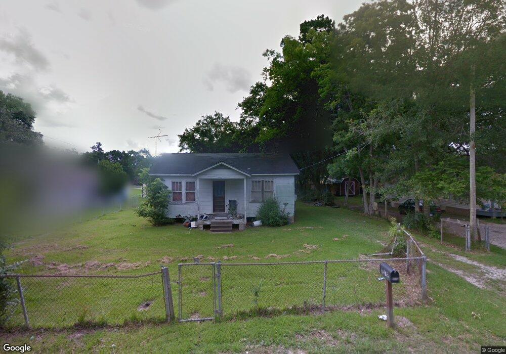
7012 Barnes Rd Moss Point, MS 39563
Estimated Value: $60,314 - $127,000
Studio
1
Bath
720
Sq Ft
$129/Sq Ft
Est. Value
About This Home
This home is located at 7012 Barnes Rd, Moss Point, MS 39563 and is currently estimated at $93,079, approximately $129 per square foot. 7012 Barnes Rd is a home located in Jackson County with nearby schools including Kreole Primary Elementary School, Escatawpa Upper Elementary School, and Magnolia Middle School.
Ownership History
Date
Name
Owned For
Owner Type
Purchase Details
Closed on
Dec 27, 2019
Sold by
Southern Shade Props Llc
Bought by
Hay Thomas J
Current Estimated Value
Home Financials for this Owner
Home Financials are based on the most recent Mortgage that was taken out on this home.
Original Mortgage
$36,000
Outstanding Balance
$22,752
Interest Rate
3.6%
Mortgage Type
New Conventional
Estimated Equity
$70,327
Purchase Details
Closed on
Aug 12, 2014
Sold by
Ashley Pierce Ashley Pierce and Thompson Susan
Bought by
Southern Shade Properties Llc
Create a Home Valuation Report for This Property
The Home Valuation Report is an in-depth analysis detailing your home's value as well as a comparison with similar homes in the area
Home Values in the Area
Average Home Value in this Area
Purchase History
| Date | Buyer | Sale Price | Title Company |
|---|---|---|---|
| Hay Thomas J | -- | None Available | |
| Southern Shade Properties Llc | -- | -- |
Source: Public Records
Mortgage History
| Date | Status | Borrower | Loan Amount |
|---|---|---|---|
| Open | Hay Thomas J | $36,000 |
Source: Public Records
Tax History
| Year | Tax Paid | Tax Assessment Tax Assessment Total Assessment is a certain percentage of the fair market value that is determined by local assessors to be the total taxable value of land and additions on the property. | Land | Improvement |
|---|---|---|---|---|
| 2025 | $552 | $3,213 | $522 | $2,691 |
| 2024 | $552 | $2,730 | $506 | $2,224 |
| 2023 | $469 | $2,730 | $506 | $2,224 |
| 2022 | $446 | $2,730 | $506 | $2,224 |
| 2021 | $454 | $2,782 | $506 | $2,276 |
| 2020 | $451 | $2,740 | $563 | $2,177 |
| 2019 | $466 | $2,836 | $563 | $2,273 |
| 2018 | $466 | $2,836 | $563 | $2,273 |
| 2017 | $464 | $2,836 | $563 | $2,273 |
| 2016 | $146 | $2,836 | $563 | $2,273 |
| 2015 | $125 | $16,220 | $3,750 | $12,470 |
| 2014 | $129 | $2,519 | $563 | $1,956 |
| 2013 | $129 | $2,519 | $563 | $1,956 |
Source: Public Records
Map
Nearby Homes
- 6924 Barnes Rd
- 6908 Barnes Rd
- 3712 Dale Ln
- 3521 Dale Ln
- 4319 Adcock St
- 7621 Elder Ferry Rd
- 7208 Elder Ferry Rd
- 3916 Dutch Bayou Rd
- 7016 Elder Ferry Rd
- 0 Interstate 10
- 4444 Christopher St
- 0 Tanner St Unit 4134049
- 0 Tanner St Unit 4134051
- 4620 Sutton Ave
- 0 Hwy 613 Hwy Unit 4127039
- 0 Hwy 613 Hwy Unit 4137821
- 0 Hwy 613 Hwy Unit 4129036
- 4113 Mimosa Dr
- 8304 Austeria St
- 4221 Knowles Ave
- 7016 Barnes Rd
- 7008 Barnes Rd
- 3804 Liverpool Ave
- 3801 Liverpool Ave
- 7013 Barnes Rd
- 3805 Liverpool Ave
- 7000 Barnes Rd
- 3809 Rogers Rd
- 3810 Liverpool Ave
- 3309 Rogers Rd
- 7101 Barnes Rd
- 7104 Barnes Rd
- 3809 Liverpool Ave
- 7001 Barnes Rd
- 3813 Rogers Rd
- 3812 Liverpool Ave
- 7020 Frank Griffin Rd
- 7105 Barnes Rd
- 3815 Liverpool Ave
- 6925 Barnes Rd
Your Personal Tour Guide
Ask me questions while you tour the home.