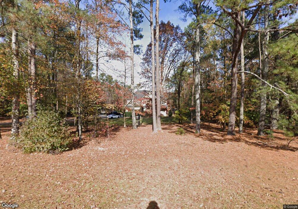
7017 Farmdale Rd Unit 9A Raleigh, NC 27610
Shotwell NeighborhoodEstimated Value: $738,000 - $954,155
--
Bed
--
Bath
4,100
Sq Ft
$202/Sq Ft
Est. Value
About This Home
This home is located at 7017 Farmdale Rd Unit 9A, Raleigh, NC 27610 and is currently estimated at $828,289, approximately $202 per square foot. 7017 Farmdale Rd Unit 9A is a home located in Wake County with nearby schools including East Garner Elementary School, East Garner Middle School, and South Garner High.
Ownership History
Date
Name
Owned For
Owner Type
Purchase Details
Closed on
Apr 16, 2013
Sold by
Curtis Foston and Welsh Tamara Margaret
Bought by
Curtis Foston and Welsh Tamara Margaret
Current Estimated Value
Purchase Details
Closed on
Mar 15, 2013
Sold by
Swindell Charles A and Swindell Ronda E
Bought by
Cutis Foster and Welsh Tamara Margaret
Purchase Details
Closed on
Feb 12, 2007
Sold by
Echols Roger A and Echols Joanne M
Bought by
Swindell Charles A and Swindell Ronda E
Purchase Details
Closed on
Apr 5, 1999
Sold by
Whitley David C
Bought by
Echols Roger A and Echols Joanne M
Purchase Details
Closed on
Sep 10, 1987
Bought by
Curtis Foston and Welsh Tamara Margaret
Create a Home Valuation Report for This Property
The Home Valuation Report is an in-depth analysis detailing your home's value as well as a comparison with similar homes in the area
Home Values in the Area
Average Home Value in this Area
Purchase History
| Date | Buyer | Sale Price | Title Company |
|---|---|---|---|
| Curtis Foston | -- | None Available | |
| Cutis Foster | $55,000 | None Available | |
| Swindell Charles A | $65,500 | None Available | |
| Echols Roger A | $37,500 | -- | |
| Curtis Foston | $20,000 | -- |
Source: Public Records
Tax History Compared to Growth
Tax History
| Year | Tax Paid | Tax Assessment Tax Assessment Total Assessment is a certain percentage of the fair market value that is determined by local assessors to be the total taxable value of land and additions on the property. | Land | Improvement |
|---|---|---|---|---|
| 2025 | $5,833 | $908,853 | $165,000 | $743,853 |
| 2024 | $5,664 | $908,853 | $165,000 | $743,853 |
| 2023 | $4,533 | $578,811 | $72,125 | $506,686 |
| 2022 | $4,200 | $578,811 | $72,125 | $506,686 |
| 2021 | $4,087 | $578,811 | $72,125 | $506,686 |
| 2020 | $4,020 | $578,811 | $72,125 | $506,686 |
| 2019 | $3,667 | $446,511 | $62,500 | $384,011 |
| 2018 | $3,371 | $446,511 | $62,500 | $384,011 |
| 2017 | $3,195 | $446,511 | $62,500 | $384,011 |
| 2016 | $3,130 | $446,511 | $62,500 | $384,011 |
| 2015 | $2,958 | $423,086 | $70,000 | $353,086 |
| 2014 | $2,668 | $70,000 | $70,000 | $0 |
Source: Public Records
Map
Nearby Homes
- 3612 Griffice Mill Rd
- 7002 Farmdale Rd
- 3421 Griffice Mill Rd
- 0 Battle Bridge Rd Unit 10126212
- 175 Canyon Gap Way
- 112 Tombolo Way
- 179 Sea Cave Ln
- 969 Jasper Mine Trail
- 957 Jasper Mine Trail
- 965 Jasper Mine Trail
- 676 Emerald Bay Cir
- 664 Emerald Bay Cir
- 223 Aster Bloom Ln
- 749 Emerald Bay Cir
- Eastman III Plan at Edge of Auburn - Classic Collection
- Somerset III Plan at Edge of Auburn - Sterling Collection
- Tryon III Plan at Edge of Auburn - Summit Collection
- Galvani II Plan at Edge of Auburn - Classic Collection
- Edison II w/ 3rd Floor Plan at Edge of Auburn - Classic Collection
- Landrum III Plan at Edge of Auburn - Summit Collection
- 7017 Farmdale Rd
- 7019 Farmdale Rd
- 7015 Farmdale Rd
- 7021 Farmdale Rd
- 7012 Farmdale Rd
- 7013 Farmdale Rd
- 3621 Griffice Mill Rd
- 3613 Griffice Mill Ln
- 7023 Farmdale Rd
- 7011 Farmdale Rd
- 7018 Farmdale Rd
- 7109 Farmdale Rd
- 7010 Farmdale Rd
- 3616 Griffice Mill Rd
- 3616 Griffice Mill Rd Unit Lot15
- 3609 Griffice Mill Rd
- 3612 Griffice Mill Rd Unit Lot14
- 3620 Griffice Mill Rd
- 3605 Griffice Mill Rd Unit 23
- 3605 Griffice Mill Rd