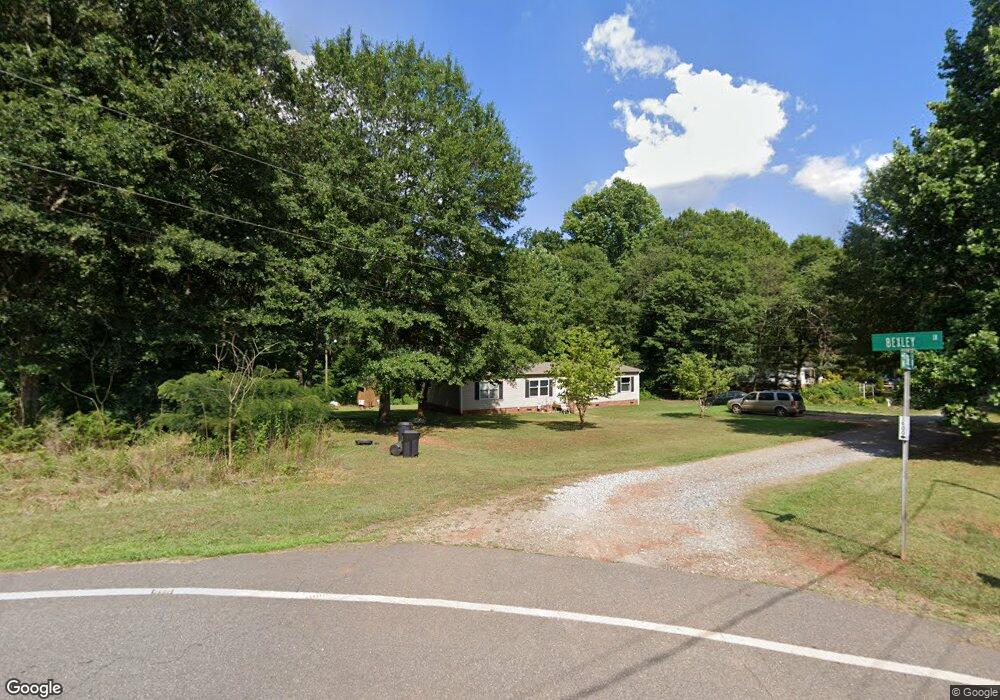
702 Sipe Rd Lincolnton, NC 28092
Estimated Value: $200,000 - $334,000
3
Beds
2
Baths
1,620
Sq Ft
$160/Sq Ft
Est. Value
About This Home
This home is located at 702 Sipe Rd, Lincolnton, NC 28092 and is currently estimated at $259,333, approximately $160 per square foot. 702 Sipe Rd is a home located in Lincoln County with nearby schools including Norris S. Childers Elementary School, West Lincoln Middle, and West Lincoln High School.
Ownership History
Date
Name
Owned For
Owner Type
Purchase Details
Closed on
May 24, 2013
Sold by
Craig P Gates Inc
Bought by
Cmh Homes Inc
Current Estimated Value
Purchase Details
Closed on
Jul 25, 2012
Sold by
Martin Eddie Dean
Bought by
Craig P Gates Inc
Purchase Details
Closed on
Nov 11, 2010
Sold by
Martin Sherry Sain
Bought by
Martin Eddie Dean
Home Financials for this Owner
Home Financials are based on the most recent Mortgage that was taken out on this home.
Original Mortgage
$31,452
Interest Rate
4.37%
Mortgage Type
New Conventional
Purchase Details
Closed on
Apr 2, 2003
Bought by
Martin Eddie Dean and Sherry Sain Ma
Purchase Details
Closed on
Sep 24, 1999
Bought by
Gates, Craig P Inc
Create a Home Valuation Report for This Property
The Home Valuation Report is an in-depth analysis detailing your home's value as well as a comparison with similar homes in the area
Home Values in the Area
Average Home Value in this Area
Purchase History
| Date | Buyer | Sale Price | Title Company |
|---|---|---|---|
| Cmh Homes Inc | $20,500 | None Available | |
| Craig P Gates Inc | $30,000 | None Available | |
| Martin Eddie Dean | -- | None Available | |
| Martin Eddie Dean | $35,000 | -- | |
| Gates, Craig P Inc | $15,000 | -- |
Source: Public Records
Mortgage History
| Date | Status | Borrower | Loan Amount |
|---|---|---|---|
| Previous Owner | Martin Eddie Dean | $31,452 |
Source: Public Records
Tax History Compared to Growth
Tax History
| Year | Tax Paid | Tax Assessment Tax Assessment Total Assessment is a certain percentage of the fair market value that is determined by local assessors to be the total taxable value of land and additions on the property. | Land | Improvement |
|---|---|---|---|---|
| 2025 | $1,277 | $179,125 | $21,742 | $157,383 |
| 2024 | $1,257 | $179,125 | $21,742 | $157,383 |
| 2023 | $1,252 | $179,125 | $21,742 | $157,383 |
| 2022 | $882 | $101,669 | $17,813 | $83,856 |
| 2021 | $882 | $101,669 | $17,813 | $83,856 |
| 2020 | $747 | $101,669 | $17,813 | $83,856 |
| 2019 | $747 | $101,669 | $17,813 | $83,856 |
| 2018 | $776 | $92,040 | $15,619 | $76,421 |
| 2017 | $675 | $92,040 | $15,619 | $76,421 |
| 2016 | $675 | $92,040 | $15,619 | $76,421 |
| 2015 | $746 | $92,040 | $15,619 | $76,421 |
| 2014 | $594 | $72,681 | $17,119 | $55,562 |
Source: Public Records
Map
Nearby Homes
- 1074 Better Brook Ln
- 000 Better Brook Ln
- 743 Lore Rd
- #168 Rolling Rd
- 1231 Better Brook Ln
- 536 Lincolnview Rd
- 1338 Pell Dr
- 000 Blossom Hill Rd Unit 138
- 801 N Grove St
- 0 Hillard Ln
- 958 Hillard Ln
- 524 Bonview Ave
- 0 N Carolina 182 Unit CAR4246688
- 502 Forney Ave
- 1070 N Carolina 182
- 217 Blossom Hill Rd
- 668 Riverside Dr
- 327 Bonview Ave
- 535 Norman Fair Ave
- 411 W Sycamore St
- 684 Sipe Rd
- Parcel 19552 Sipe Rd
- 719 Sipe Rd
- 1021 Bexley Ln
- 1019 Dorset Ln
- 1031 Bexley Ln
- 754 Sipe Rd
- 1041 Bexley Ln
- 1042 Bexley Ln
- 757 Sipe Rd
- 0 Dorset Ln Unit 4 3430419
- 1055 Bexley Ln
- 1042 Dorset Ln
- 1069 Dorset Ln
- 1065 Bexley Ln
- 1064 Dorset Ln
- 1070 Bexley Ln
- 1105 Better Brook Ln
- 1077 Bexley Ln
- 1091 Dorset Ln