Estimated Value: $91,000 - $304,000
Studio
2
Baths
2,002
Sq Ft
$116/Sq Ft
Est. Value
About This Home
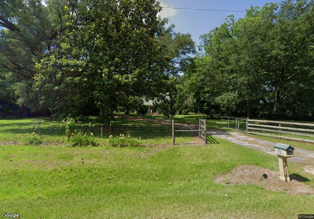
This home is located at 7020 Dixie Rd, Dixie, GA 31629 and is currently estimated at $231,815, approximately $115 per square foot. 7020 Dixie Rd is a home located in Brooks County with nearby schools including Quitman Elementary School, First Baptist Church Preschool & Kindergarten, and Westbrook School.
Ownership History
Date
Name
Owned For
Owner Type
Purchase Details
Closed on
Sep 10, 2004
Sold by
Davis Dorothy A
Bought by
Davis Dorothy A and Davis David D
Current Estimated Value
Purchase Details
Closed on
Aug 23, 2004
Sold by
Davis Dorothy A
Bought by
Davis Dorothy A
Purchase Details
Closed on
Dec 16, 2002
Sold by
Davis David D and Davis Dorothy
Bought by
Davis Dorothy A
Purchase Details
Closed on
Mar 6, 1997
Sold by
Burton Stephen F and Rogers William G
Bought by
Davis David D and Davis Dorothy
Purchase Details
Closed on
Nov 10, 1993
Sold by
Warrell Blythel and Warrell Pauline
Bought by
Burton Stephen F and Roger William G
Create a Home Valuation Report for This Property
The Home Valuation Report is an in-depth analysis detailing your home's value as well as a comparison with similar homes in the area
Purchase History
| Date | Buyer | Sale Price | Title Company |
|---|---|---|---|
| Davis Dorothy A | -- | -- | |
| Davis Dorothy A | -- | -- | |
| Davis Dorothy A | -- | -- | |
| Davis David D | $30,200 | -- | |
| Burton Stephen F | $27,500 | -- |
Source: Public Records
Tax History
| Year | Tax Paid | Tax Assessment Tax Assessment Total Assessment is a certain percentage of the fair market value that is determined by local assessors to be the total taxable value of land and additions on the property. | Land | Improvement |
|---|---|---|---|---|
| 2025 | $2,065 | $69,468 | $16,920 | $52,548 |
| 2024 | $2,065 | $69,468 | $16,920 | $52,548 |
| 2023 | $1,371 | $60,228 | $16,720 | $43,508 |
| 2022 | $1,680 | $49,708 | $15,920 | $33,788 |
| 2021 | $1,561 | $46,708 | $15,600 | $31,108 |
| 2020 | $1,297 | $46,708 | $15,600 | $31,108 |
| 2019 | $1,516 | $46,388 | $15,920 | $30,468 |
| 2018 | $1,351 | $46,268 | $15,200 | $31,068 |
| 2017 | $1,469 | $45,108 | $15,200 | $29,908 |
| 2016 | $1,514 | $45,628 | $15,200 | $30,428 |
| 2015 | -- | $45,908 | $15,200 | $30,708 |
| 2014 | -- | $46,948 | $15,200 | $31,748 |
| 2013 | -- | $46,948 | $15,200 | $31,748 |
Source: Public Records
Map
Nearby Homes
- Dixie Rd
- 5199 U S 84
- 103 Magnolia Dr
- 804 Westlake Dr
- 1001 W Bartow St
- 2156 County Road 78
- 304 W Rountree St
- 203 W Gordon St
- 0 W Swamp St
- 606 N Court St
- Lot 14 Dawn Ln
- 621 N Court St
- 807 N Court St
- 0 Madison Hwy Unit 26460639
- 0 Madison Hwy Unit 147194
- 0 E Gordon St
- 103 Victorian Way
- 506 Oglesby St
- 714 Morris Ave
- 1306 E Screven St
- 55 Dewberry Rd
- 7133 Dixie Rd
- 4675 Dixie Rd
- 7170 Dixie Rd
- 0 Dixie Rd
- 5958 W 84 Rd
- 6491 Us Highway 84
- 289 Dewberry Rd
- 359 Dewberry Rd
- 6430 Dixie Rd
- 6715 W 84
- 5571 Us Highway 84
- 5471 Us Highway 84
- 5535 Us Highway 84
- 5467 Us Highway 84
- 5443 Us Highway 84
- 5370 W 84
- 5417 Us Highway 84
- 6201 Dixie Rd
- 5175 W 84
Your Personal Tour Guide
Ask me questions while you tour the home.