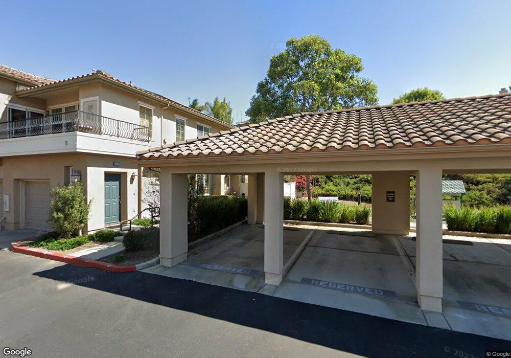
7020 Forsters Tern Dr Unit 23 Carlsbad, CA 92011
Poinsettia NeighborhoodEstimated Value: $291,000 - $1,428,000
4
Beds
3
Baths
1,859
Sq Ft
$475/Sq Ft
Est. Value
About This Home
This home is located at 7020 Forsters Tern Dr Unit 23, Carlsbad, CA 92011 and is currently estimated at $882,259, approximately $474 per square foot. 7020 Forsters Tern Dr Unit 23 is a home located in San Diego County with nearby schools including Pacific Rim Elementary, Aviara Oaks Middle, and Sage Creek High.
Ownership History
Date
Name
Owned For
Owner Type
Purchase Details
Closed on
Aug 29, 2005
Sold by
Standard Pacific Corp
Bought by
Simpson Julie F
Current Estimated Value
Home Financials for this Owner
Home Financials are based on the most recent Mortgage that was taken out on this home.
Original Mortgage
$364,700
Outstanding Balance
$194,625
Interest Rate
5.81%
Mortgage Type
Stand Alone Second
Estimated Equity
$687,634
Create a Home Valuation Report for This Property
The Home Valuation Report is an in-depth analysis detailing your home's value as well as a comparison with similar homes in the area
Home Values in the Area
Average Home Value in this Area
Purchase History
| Date | Buyer | Sale Price | Title Company |
|---|---|---|---|
| Simpson Julie F | $220,500 | First American Title |
Source: Public Records
Mortgage History
| Date | Status | Borrower | Loan Amount |
|---|---|---|---|
| Open | Simpson Julie F | $364,700 |
Source: Public Records
Tax History Compared to Growth
Tax History
| Year | Tax Paid | Tax Assessment Tax Assessment Total Assessment is a certain percentage of the fair market value that is determined by local assessors to be the total taxable value of land and additions on the property. | Land | Improvement |
|---|---|---|---|---|
| 2025 | $3,968 | $301,042 | $68,731 | $232,311 |
| 2024 | $3,968 | $295,140 | $67,384 | $227,756 |
| 2023 | $3,942 | $289,354 | $66,063 | $223,291 |
| 2022 | $3,886 | $283,681 | $64,768 | $218,913 |
| 2021 | $3,852 | $278,120 | $63,499 | $214,621 |
| 2020 | $3,826 | $275,269 | $62,848 | $212,421 |
| 2019 | $3,769 | $269,872 | $61,616 | $208,256 |
| 2018 | $3,642 | $264,581 | $60,408 | $204,173 |
| 2017 | $3,590 | $259,394 | $59,224 | $200,170 |
| 2016 | $3,476 | $254,309 | $58,063 | $196,246 |
| 2015 | $3,462 | $250,490 | $57,191 | $193,299 |
| 2014 | $3,415 | $245,584 | $56,071 | $189,513 |
Source: Public Records
Map
Nearby Homes
- 6777 Lonicera St
- 6915 Pear Tree Dr
- 874 Marigold Ct
- 7089 Tatler Rd
- 6557 Coneflower Dr
- 6497 Wayfinders Ct
- 7013 Lavender Way
- 6951 Quiet Cove Dr
- 7124 Aviara Dr Unit D
- 7219 Linden Terrace
- 839 Skysail Ave
- 802 Spindrift Ln
- 907 Caminito Estrada Unit E
- 803 Skysail Ave
- 6438 Agate Way
- 909 Caminito Madrigal Unit B
- 6925 Waters End Dr
- 7025 San Bartolo St Unit 42
- 7207 Santa Barbara St Unit 154
- 7016 San Carlos St Unit 61
- 7021 Forsters Tern Dr Unit 2
- 7008 Forsters Tern Dr Unit 13
- 7017 Forsters Tern Dr Unit 4
- 7019 Forsters Tern Dr
- 7014 Forsters Tern Dr Unit 20
- 7006 Forsters Tern Dr Unit 17
- 7007 Forsters Tern Dr Unit 8
- 7024 Forsters Tern Dr
- 7022 Forsters Tern Dr Unit 19
- 7010 Forsters Tern Dr
- 7018 Forsters Tern Dr Unit 22
- 7004 Forsters Tern Dr Unit 16
- 7001 Forsters Tern Dr Unit 11
- 7003 Forsters Tern Dr
- 7015 Forsters Tern Dr Unit 5
- 7002 Forsters Tern Dr Unit 15
- 7000 Forsters Tern Dr Unit 14
- 7005 Forsters Tern Dr Unit 9
- 7011 Forsters Tern Dr
- 7016 Forsters Tern Dr