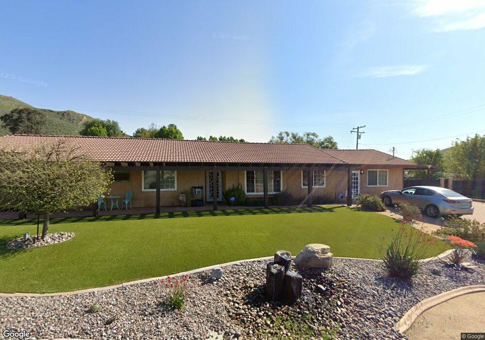
7023 27th St Riverside, CA 92509
Sunnyslope NeighborhoodEstimated Value: $528,000 - $792,000
3
Beds
2
Baths
1,624
Sq Ft
$404/Sq Ft
Est. Value
About This Home
This home is located at 7023 27th St, Riverside, CA 92509 and is currently estimated at $655,468, approximately $403 per square foot. 7023 27th St is a home located in Riverside County with nearby schools including Sunnyslope Elementary School, Jurupa Middle School, and Patriot High School.
Ownership History
Date
Name
Owned For
Owner Type
Purchase Details
Closed on
Dec 19, 2004
Sold by
Farnum Karen Louise
Bought by
Farnum Paul Edward
Current Estimated Value
Purchase Details
Closed on
Feb 18, 2000
Sold by
Farnum Paul E
Bought by
Farnum Karen L
Home Financials for this Owner
Home Financials are based on the most recent Mortgage that was taken out on this home.
Original Mortgage
$25,000
Interest Rate
8.27%
Mortgage Type
Purchase Money Mortgage
Purchase Details
Closed on
Jan 9, 1995
Sold by
Federal National Mortgage Association
Bought by
Farnum Paul E and Farnum Karen L
Home Financials for this Owner
Home Financials are based on the most recent Mortgage that was taken out on this home.
Original Mortgage
$96,600
Interest Rate
9.21%
Mortgage Type
FHA
Purchase Details
Closed on
Jul 11, 1994
Sold by
Pacific Sovereign Corp
Bought by
Federal National Mortgage Association
Create a Home Valuation Report for This Property
The Home Valuation Report is an in-depth analysis detailing your home's value as well as a comparison with similar homes in the area
Home Values in the Area
Average Home Value in this Area
Purchase History
| Date | Buyer | Sale Price | Title Company |
|---|---|---|---|
| Farnum Paul Edward | -- | -- | |
| Farnum Karen L | -- | American Title | |
| Farnum Paul E | $126,000 | First American Title Ins Co | |
| Federal National Mortgage Association | $154,058 | World Title Company |
Source: Public Records
Mortgage History
| Date | Status | Borrower | Loan Amount |
|---|---|---|---|
| Previous Owner | Farnum Karen L | $25,000 | |
| Previous Owner | Farnum Paul E | $96,600 |
Source: Public Records
Tax History
| Year | Tax Paid | Tax Assessment Tax Assessment Total Assessment is a certain percentage of the fair market value that is determined by local assessors to be the total taxable value of land and additions on the property. | Land | Improvement |
|---|---|---|---|---|
| 2025 | $2,443 | $227,566 | $77,241 | $150,325 |
| 2023 | $2,443 | $218,732 | $74,243 | $144,489 |
| 2022 | $2,394 | $214,444 | $72,788 | $141,656 |
| 2021 | $2,369 | $210,240 | $71,361 | $138,879 |
| 2020 | $2,346 | $208,085 | $70,630 | $137,455 |
| 2019 | $2,298 | $204,006 | $69,246 | $134,760 |
| 2018 | $2,162 | $200,007 | $67,889 | $132,118 |
| 2017 | $2,198 | $196,086 | $66,558 | $129,528 |
| 2016 | $2,166 | $192,242 | $65,253 | $126,989 |
| 2015 | $2,135 | $189,357 | $64,274 | $125,083 |
| 2014 | $1,991 | $185,650 | $63,016 | $122,634 |
Source: Public Records
Map
Nearby Homes
- 6625 Karen Ln
- 2809 Upton Ct
- 2668 Half Dome Ct
- 6402 June Mountain Way
- 6916 36th St
- 6676 Coloma Way
- 2884 Winter Park Ave
- 6929 37th St
- 2900 Winter Park Ave
- 3475 Skylane Dr
- 3483 Skylane Dr
- 0 Vía Sombra
- 17049 La Vesu Rd
- 6194 Canal St
- 3363 Lakota Ln
- 3972 Boulder Dr
- 3387 Lakota Ln
- 12560 Beryl Way
- 0 Jewel St
- 3410 Lakota Ln
Your Personal Tour Guide
Ask me questions while you tour the home.