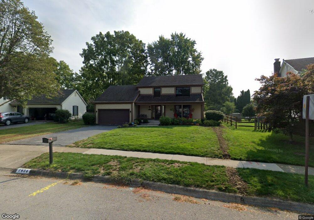
7024 Linbrook Blvd Columbus, OH 43235
Worthingview NeighborhoodEstimated Value: $474,000 - $539,000
3
Beds
3
Baths
1,809
Sq Ft
$274/Sq Ft
Est. Value
About This Home
This home is located at 7024 Linbrook Blvd, Columbus, OH 43235 and is currently estimated at $495,174, approximately $273 per square foot. 7024 Linbrook Blvd is a home located in Franklin County with nearby schools including Bluffsview Elementary School, McCord Middle School, and Worthington Kilbourne High School.
Ownership History
Date
Name
Owned For
Owner Type
Purchase Details
Closed on
Feb 19, 2025
Sold by
Campbell Bruce T and Campbell Lynn E
Bought by
Campbell Bruce T and Campbell Lynn E
Current Estimated Value
Purchase Details
Closed on
Apr 16, 1986
Bought by
Campbell Bruce T and Campbell Lynn E
Purchase Details
Closed on
Nov 1, 1981
Create a Home Valuation Report for This Property
The Home Valuation Report is an in-depth analysis detailing your home's value as well as a comparison with similar homes in the area
Home Values in the Area
Average Home Value in this Area
Purchase History
| Date | Buyer | Sale Price | Title Company |
|---|---|---|---|
| Campbell Bruce T | -- | None Listed On Document | |
| Campbell Bruce T | $103,000 | -- | |
| -- | $92,000 | -- |
Source: Public Records
Tax History
| Year | Tax Paid | Tax Assessment Tax Assessment Total Assessment is a certain percentage of the fair market value that is determined by local assessors to be the total taxable value of land and additions on the property. | Land | Improvement |
|---|---|---|---|---|
| 2025 | $8,667 | $141,160 | $43,190 | $97,970 |
| 2024 | $8,667 | $141,160 | $43,190 | $97,970 |
| 2023 | $8,287 | $141,160 | $43,190 | $97,970 |
| 2022 | $7,391 | $99,890 | $24,430 | $75,460 |
| 2021 | $6,819 | $99,890 | $24,430 | $75,460 |
| 2020 | $6,568 | $99,890 | $24,430 | $75,460 |
| 2019 | $6,317 | $86,700 | $21,250 | $65,450 |
| 2018 | $5,983 | $86,700 | $21,250 | $65,450 |
| 2017 | $5,661 | $86,700 | $21,250 | $65,450 |
| 2016 | $5,845 | $82,330 | $20,340 | $61,990 |
| 2015 | $5,846 | $82,330 | $20,340 | $61,990 |
| 2014 | $5,844 | $82,330 | $20,340 | $61,990 |
| 2013 | $2,409 | $68,215 | $18,480 | $49,735 |
Source: Public Records
Map
Nearby Homes
- 1278 Amol Ln
- 1380 Tiehack Ct
- 7164 Durness Place
- 1327 Donahey St
- 7370 Coldstream Dr
- 6904 Clydeway Ct
- 6623 Millbrae Rd
- 1760 Fallhaven Dr
- 1930 Shallowford Ave
- 6637 Merwin Rd
- 6747 Merwin Rd
- 6784 Heathview St
- 7034 Rockhaven Place
- 6876 Spruce Pine Dr
- 1978 Shallowford Ave
- 1001 Rutherglen Dr
- 2001 Sawbury Blvd Unit 2001
- 7746 Sagemeadow Ct
- 797 Troon Trail
- 890 Pipestone Dr
- 7036 Linbrook Blvd
- 7016 Linbrook Blvd
- 1302 Cross Country Dr
- 1275 Amol Ln
- 1294 Cross Country Dr
- 7044 Linbrook Blvd
- 1269 Amol Ln
- 1279 Amol Ln
- 1286 Cross Country Dr
- 1337 Snowmass Rd
- 1278 Cross Country Dr
- 1265 Amol Ln
- 1309 Cross Country Dr
- 7011 Linbrook Blvd
- 1343 Snowmass Rd
- 7055 Linbrook Blvd
- 1305 Cross Country Dr
- 1297 Cross Country Dr
- 1300 Churchbell Way
- 1285 Cross Country Dr
Your Personal Tour Guide
Ask me questions while you tour the home.